

We spent two days in Zion National Park and thought it was just enough to get a good impression without rushing through every stop. Three days would have been even better because Zion combines a scenic drive, short walks and several hikes that each want an entire morning or afternoon.
We planned two demanding hikes: Observation Point and Angel’s Landing. The Narrows also belonged on our list, but Bianca had a cold and walking through the Virgin River in wet clothes was definitely not what she was aiming for.
In 2018 the entrance fee was USD 30 per car for seven days, and our America the Beautiful pass was accepted. The visitor centre at the southern entrance was the best place to ask which trail matched the available time and conditions before committing to a full day in the canyon.
Arriving through Mount Carmel Highway
Coming from Bryce Canyon and Page, we entered Zion on Mount Carmel Highway. It was probably the most scenic arrival into a national park we had seen. The road descended into Zion Canyon in tight curves, revealing more of the cliffs after every turn.
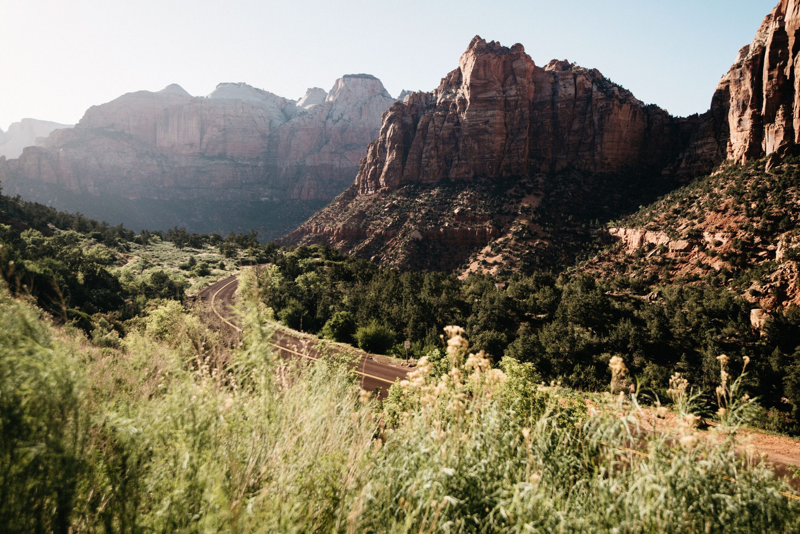
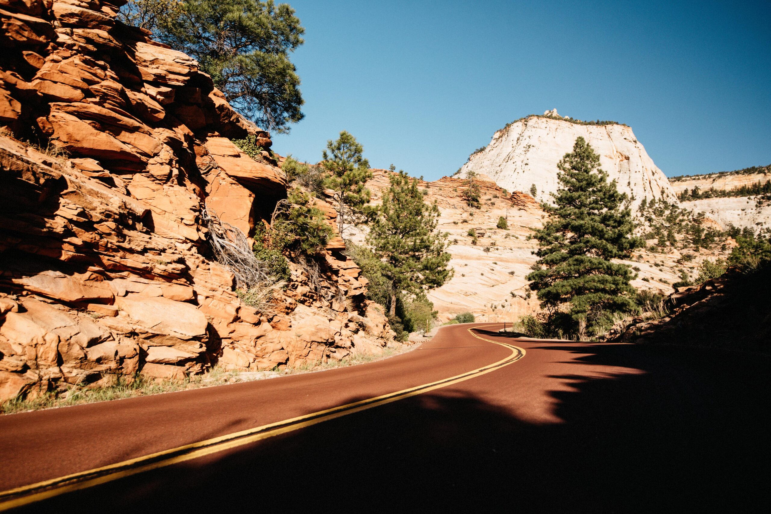
There were few official viewpoints, but many places where we could safely stop and look across the landscape. The highway also passed through a long tunnel with openings towards the canyon. High RVs required special traffic control, which came with an additional fee.
Canyon Overlook Trail began close to the tunnel. It was short but moderately difficult and led to another broad view over the canyon. Even without doing that walk, the curves of Mount Carmel Highway offered enough reasons to stop before reaching the valley floor.
Springdale and the Zion shuttle
Springdale begins directly outside the southern entrance and has everything built around national-park visitors: hotels, restaurants, bakeries and outdoor shops. It was full of tourists but still managed to feel like a small western town.
During our visit, the free Zion shuttle carried visitors into the canyon. Lines were longest around 7:30 to 8:30 in the morning, exactly when everybody wanted to begin the major hikes. The ride from the visitor centre to Weeping Rock took about 25 minutes.
The first shuttle left at 7 AM and the final one at 8:15 PM when we visited. Once the buses were running, they were the practical way to reach the trailheads, but the early queue had to be included in the hiking schedule.
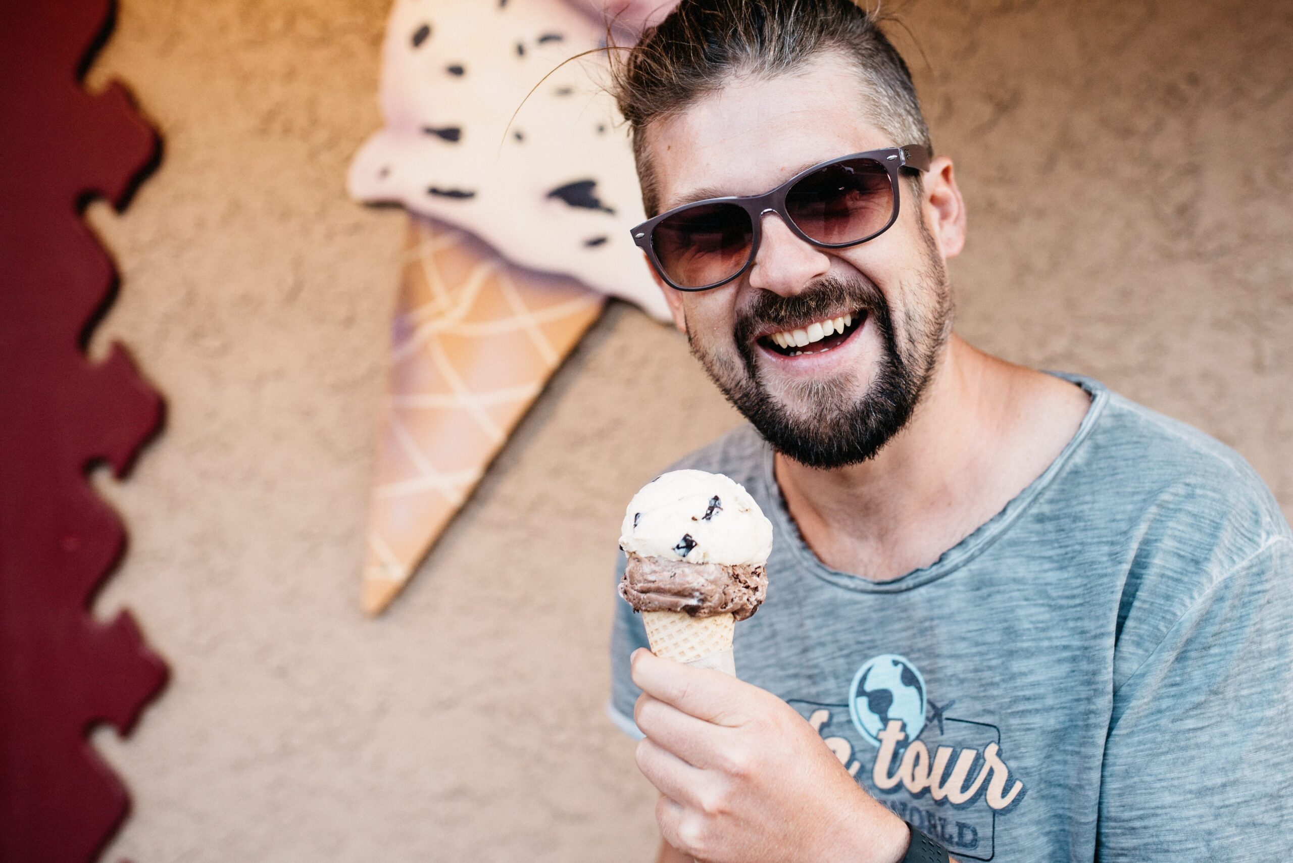
After hiking, we stopped at Springdale Candy Company. We never discovered whether they made the ice cream themselves or bought it somewhere else. We only knew that it was delicious. Wild huckleberry was the fruity choice, while Moose Tracks was Bianca’s option because it contained peanut-butter cups.
Observation Point Trail
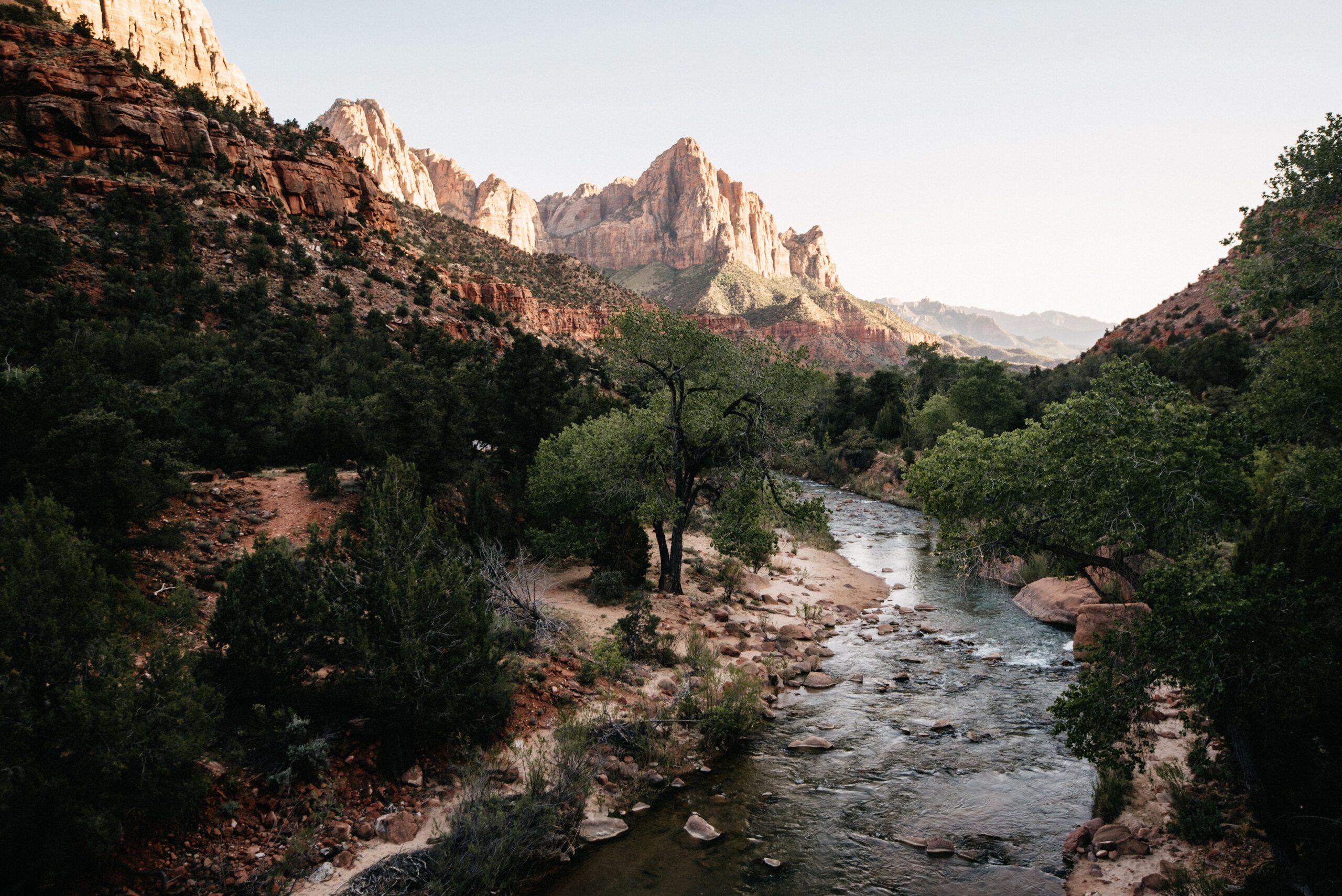
A ranger told us that Angel’s Landing was the most talked-about hike, not necessarily the best. Observation Point was the alternative recommendation, so we started at Weeping Rock shortly after 8 AM.
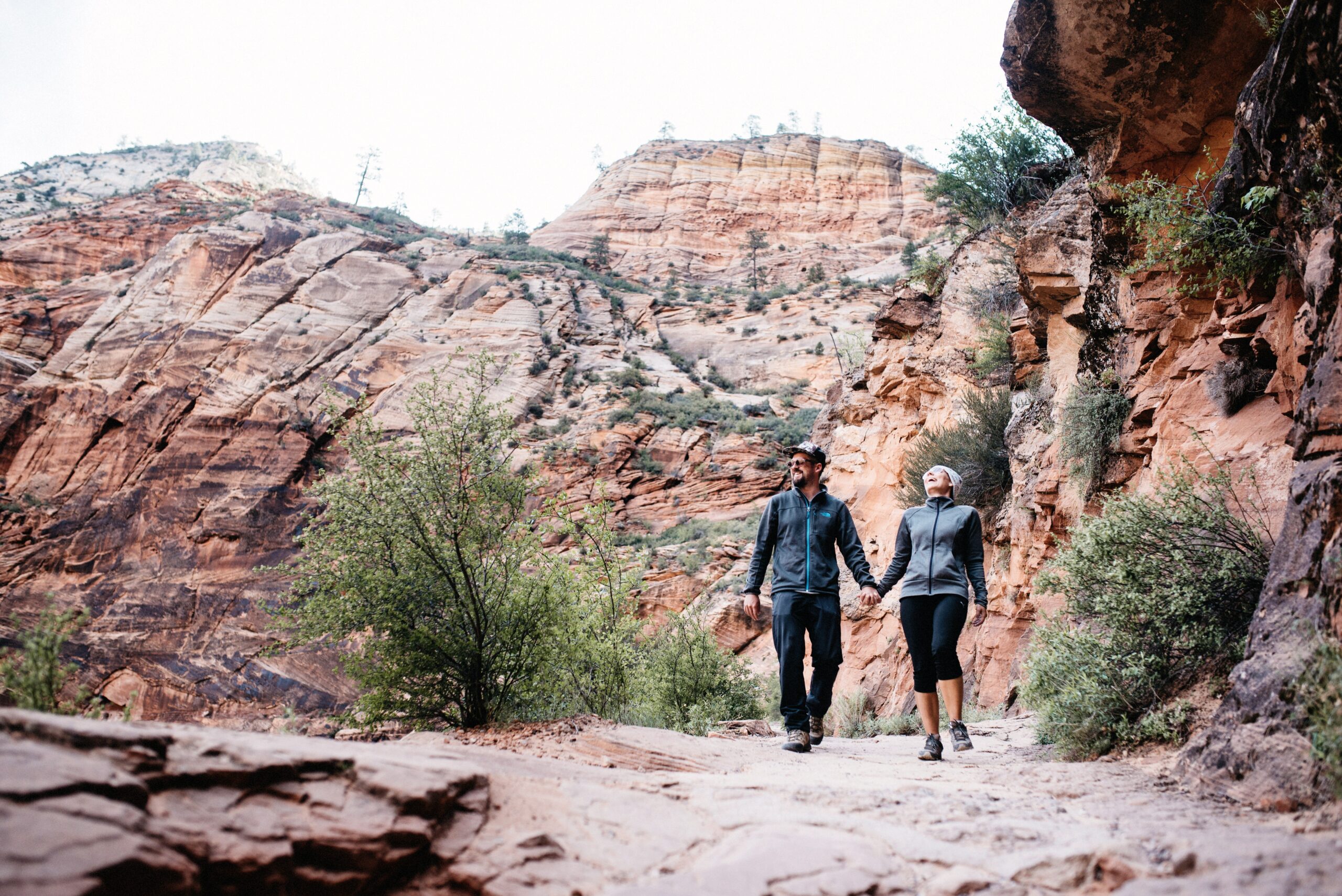
The climb took us roughly three hours, with another two hours for the descent. The trail gained height quickly and moved between canyon walls, steep cliffs and unusual rock formations. It was strenuous, but never boring.
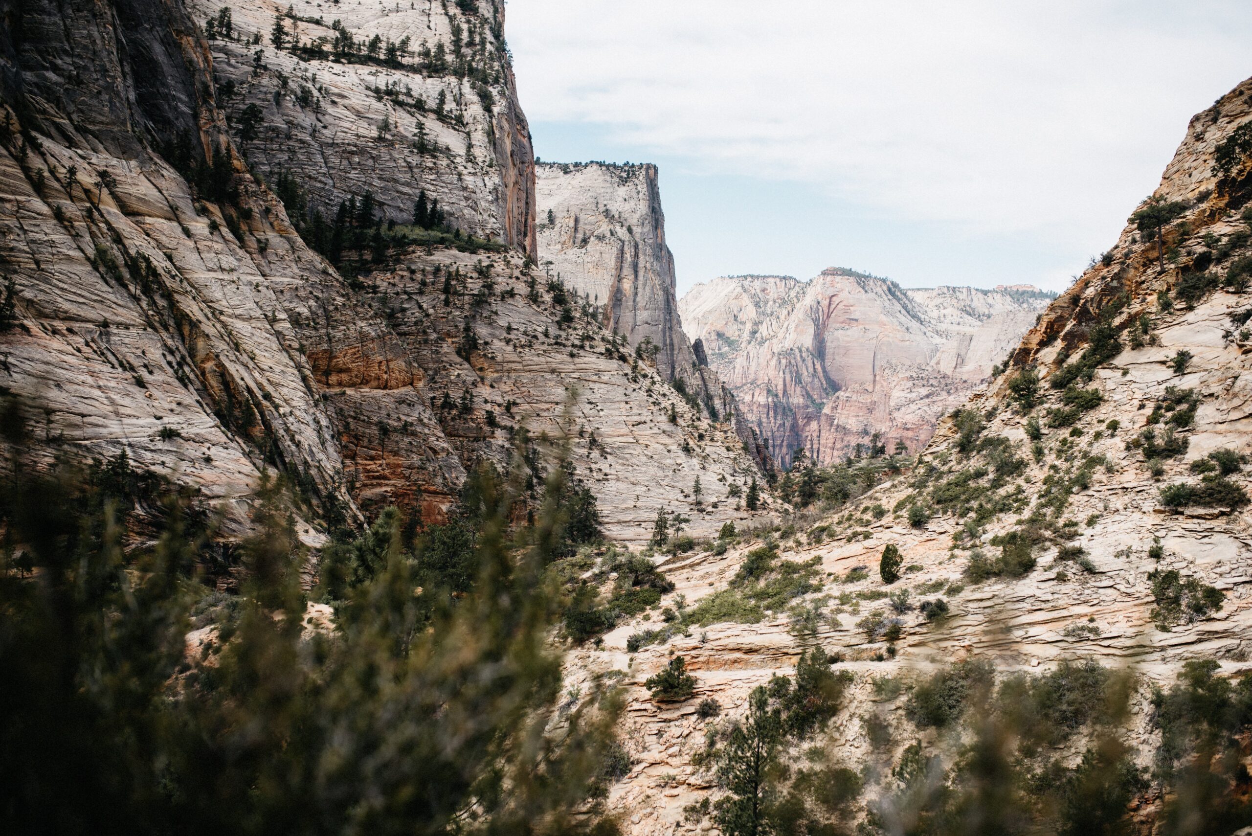
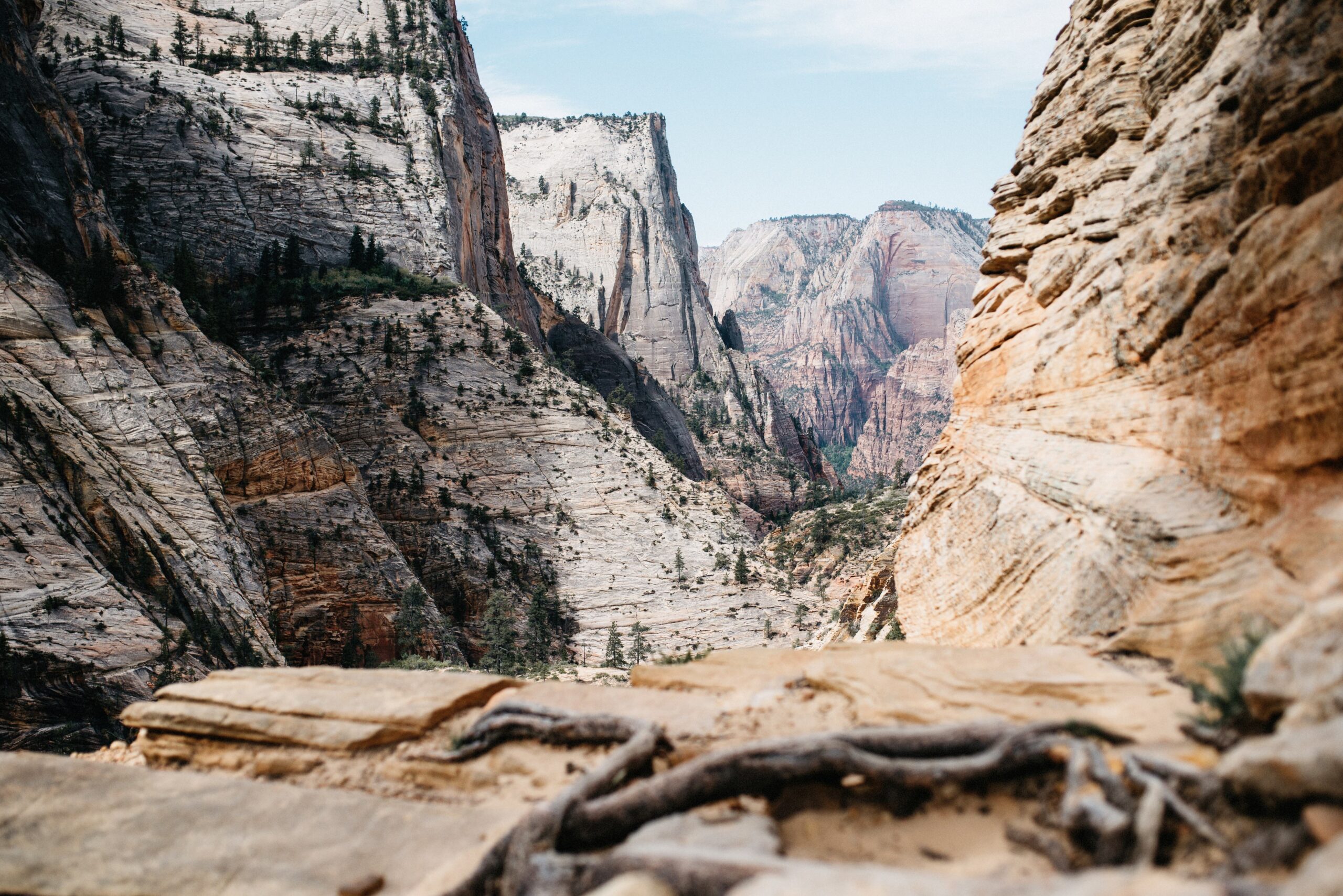
What we loved about hiking in the American Southwest was how quickly a trail produced a view. At home in Austria, a hike often begins with a long walk through forest. In Zion, the canyon was present almost from the first climb.
Most of Zion’s major hikes were not loops. We walked to a destination and returned on the same trail, but that never bothered us because the view changed completely when we turned around. The same cliffs and canyon openings looked different on the descent.
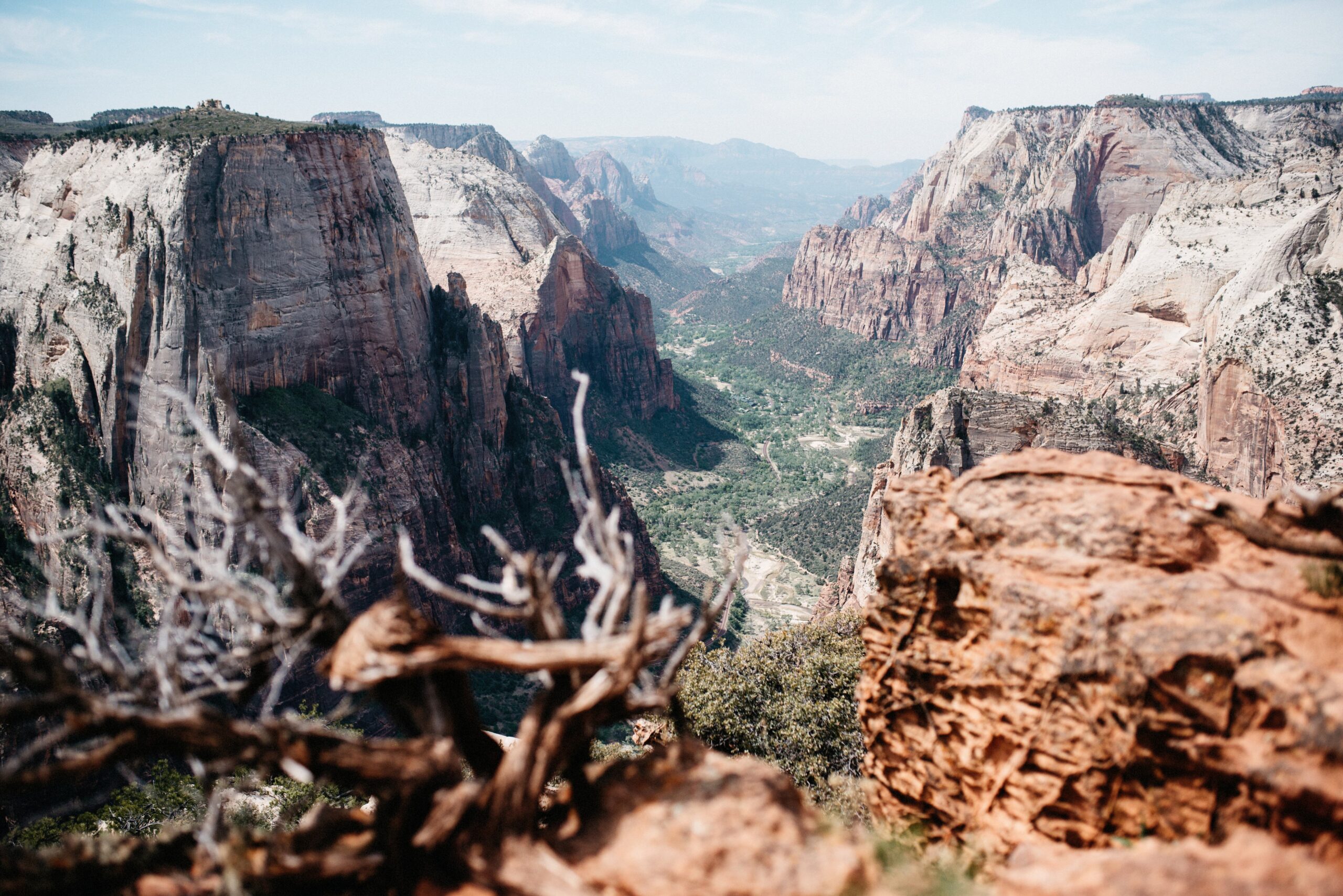
Observation Point sat higher than Angel’s Landing and offered an enormous view along Zion Canyon and the Virgin River. Some people considered it the better hike. We would not agree completely, but only because the final part of Angel’s Landing was so different from everything else.
Starting early reduced the amount of oncoming traffic on the narrow parts. In spring and autumn, carrying a pullover was also a good idea: the first section stayed in shade during the morning and felt surprisingly cold despite the exposed climb waiting farther up.
Angel’s Landing
We still wanted to answer the question for ourselves: was Angel’s Landing famous only because everybody talked about it, or was it really worth the effort? For us, it was definitely worth it.

The trail started easily at the Grotto, crossed the bridge and followed the river. That relaxed feeling ended after about ten minutes. The route was only around eight kilometres return, but it gained more than 400 metres in a short distance.
At a moderate pace, the climb to Scout Lookout took us roughly one and a half hours. Before the steep switchbacks, a flatter canyon section provided a short chance to recover. Then the trail climbed again until we were convinced the hard part had to be over.

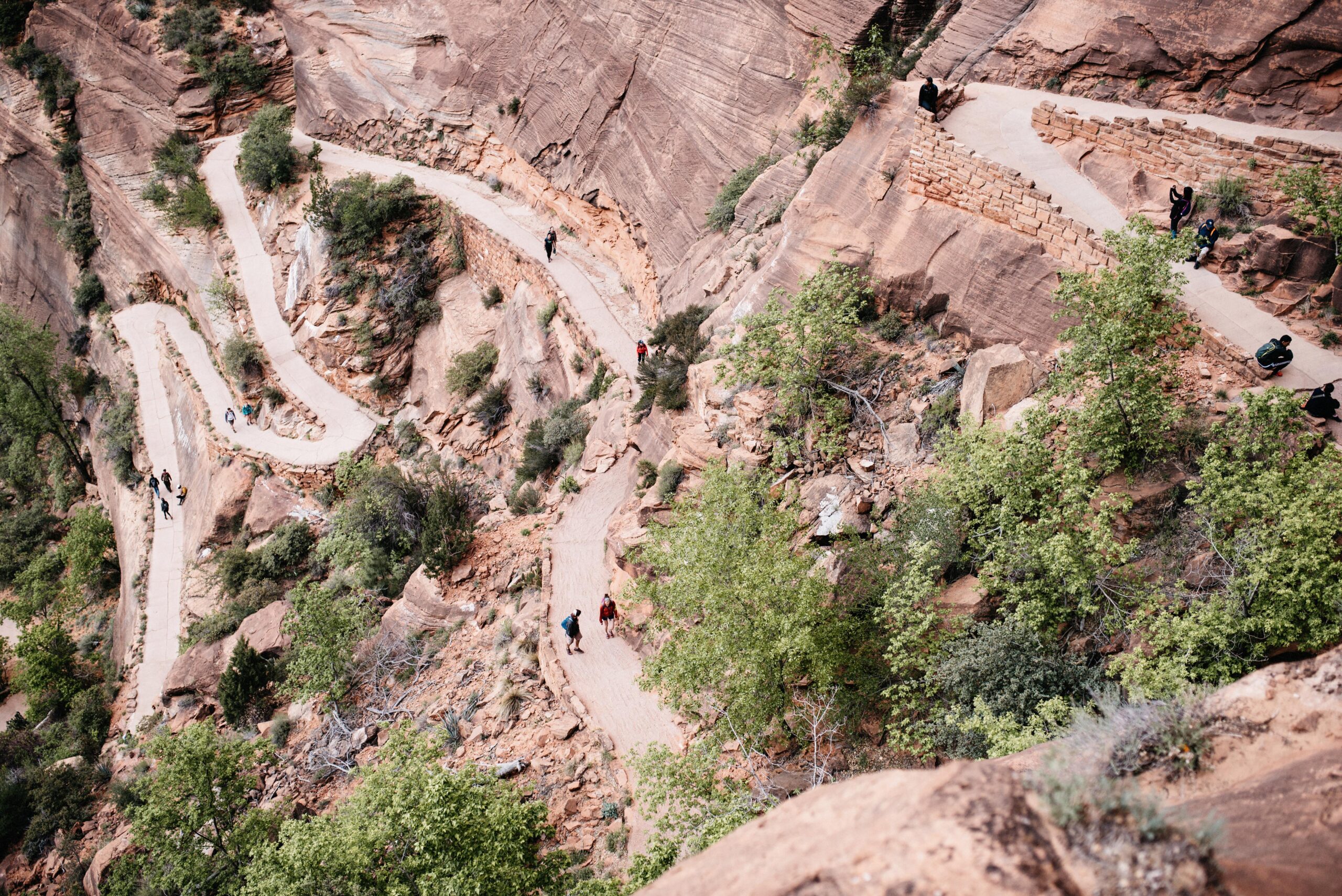
After the steep switchbacks, we reached a broad resting point, unpacked our snacks and thought we had arrived. Then we noticed people climbing the narrow rock in front of us. That was Angel’s Landing. We had only reached Scout Lookout.
The chained final ridge
The final section took another half hour. It was steep, rocky and extremely narrow, with the canyon dropping away on both sides. Chains were fixed to the rock wherever the route became most exposed.
The name goes back to a comment from 1916 that only angels could land on the rock. Standing on the final ridge, that description no longer sounded exaggerated. There were places where the drop was more than 400 metres to both the left and the right.
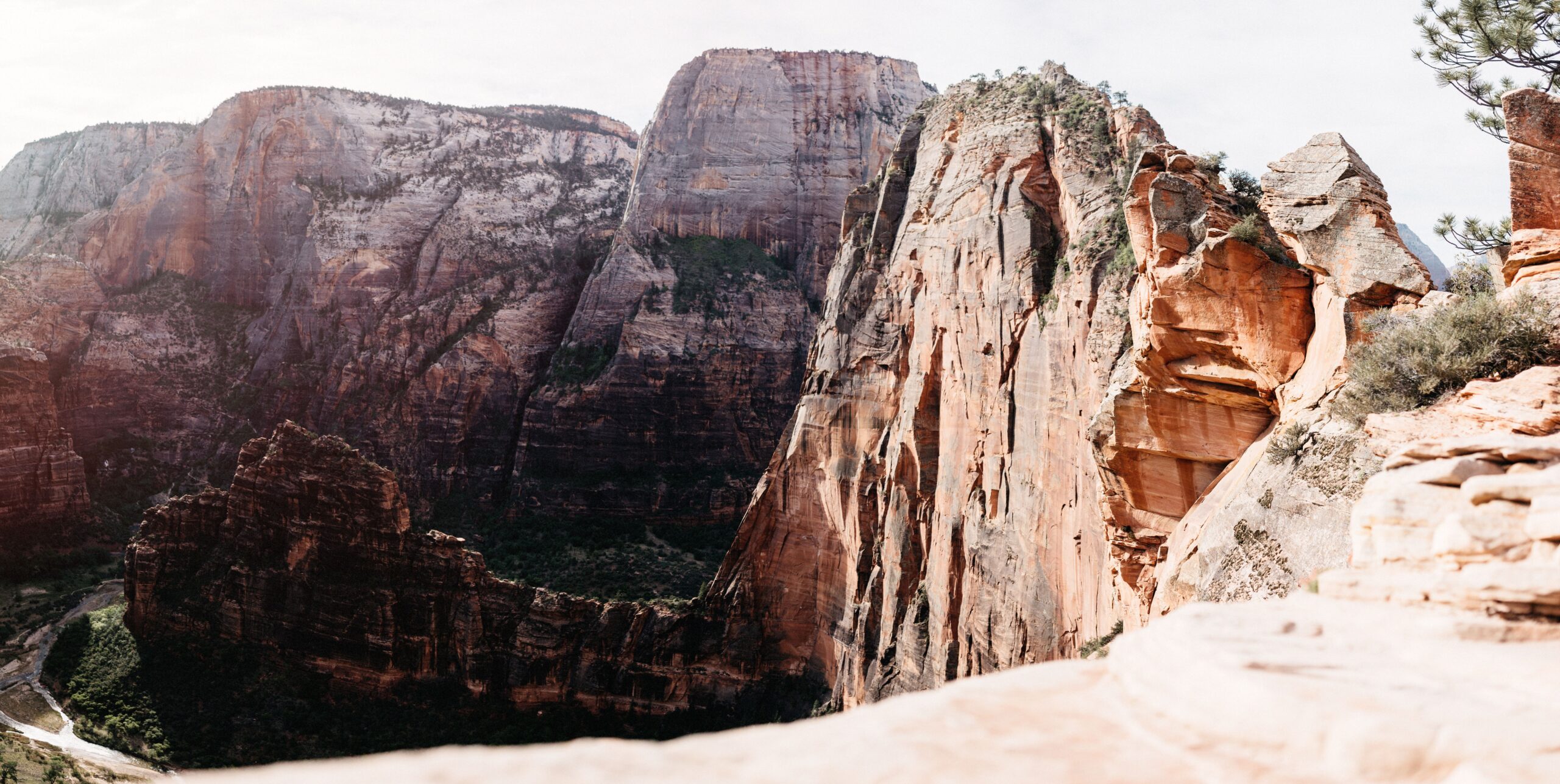
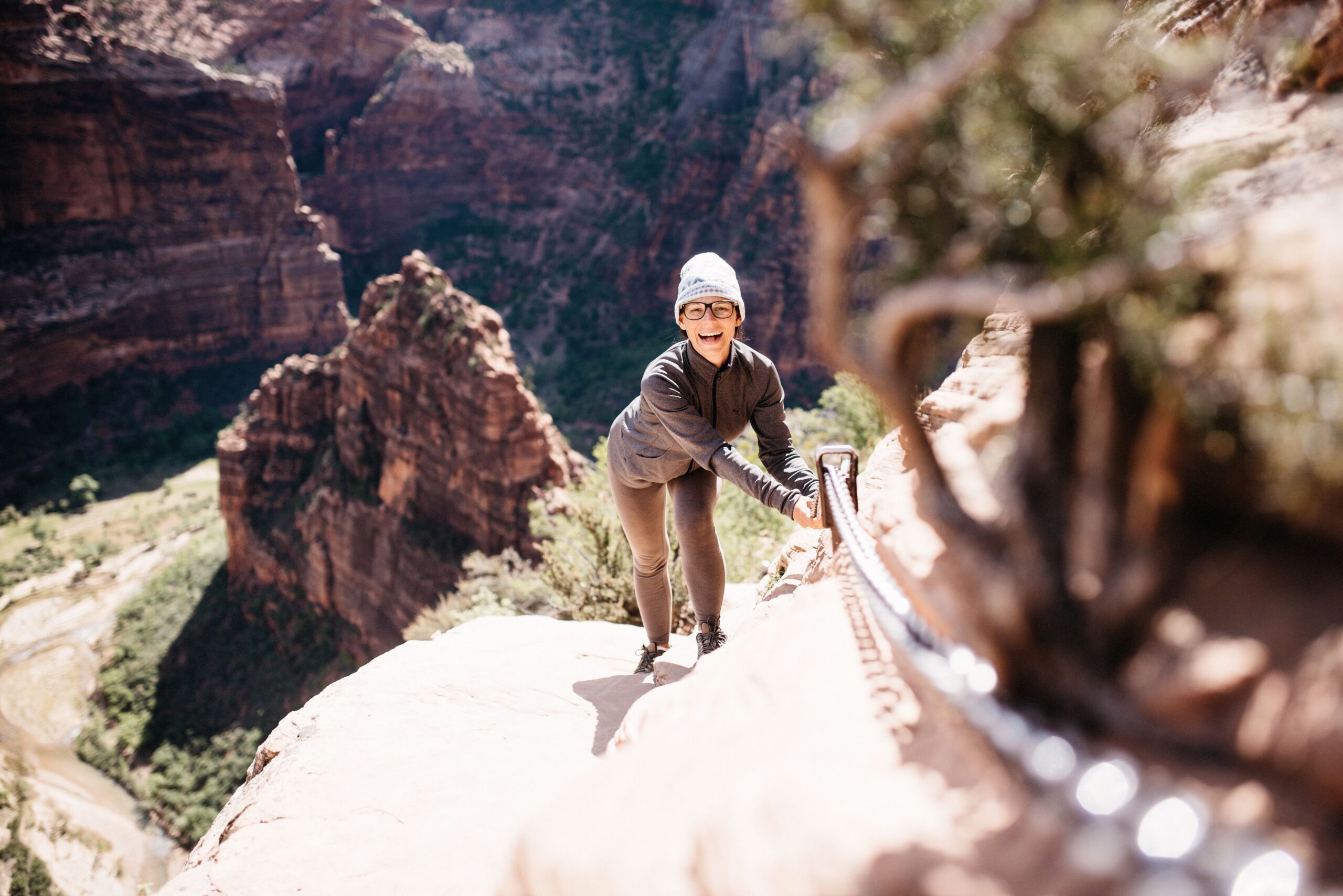
This became one of the most amazing sections we hiked in the United States. It was also genuinely challenging. Anyone who is seriously afraid of heights should not force themselves onto the final ridge just because the trail is famous.
The Narrows had to wait
The Narrows begins at the Temple of Sinawava and follows the Virgin River through the canyon, which means hiking directly in the water. Waterproof shoes, trousers and walking sticks could be rented in Springdale.
Both rangers and other travellers recommended it, but with Bianca’s cold it made no sense. It stayed on the list for a future visit instead of becoming a miserable wet day only because we wanted to complete everything.
The full route was around 15 kilometres. Because the trail ran through the river rather than beside it, waterproof equipment was not an optional extra. Shoes, trousers and walking sticks could be hired at the visitor centre and from an outfitter in Springdale.
Camping near Smithsonian Butte
The campgrounds inside Zion sold out quickly and we had no chance of getting a place. We camped outside the park near Smithsonian Butte, about ten miles from the southern entrance.
It was a quiet and inexpensive base for the park. The trade-off was having to drive into Springdale and join the morning shuttle queue, but after two expensive tourist towns that was a trade we were very happy to make.
Our Zion conclusion
Zion became one of our favourite national parks. The canyon was stunning, the views were enormous and the best hikes demanded real effort because there is no panoramic summit without climbing towards it. Two days were the minimum we would plan again; with three, the Narrows and more time on Mount Carmel Highway could have joined the route as well.
We cover Antelope Canyon and Horseshoe Bend near Page in a separate report.