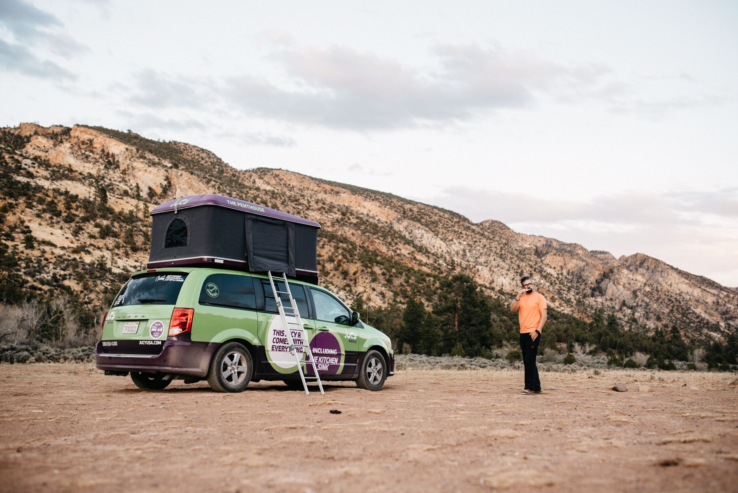
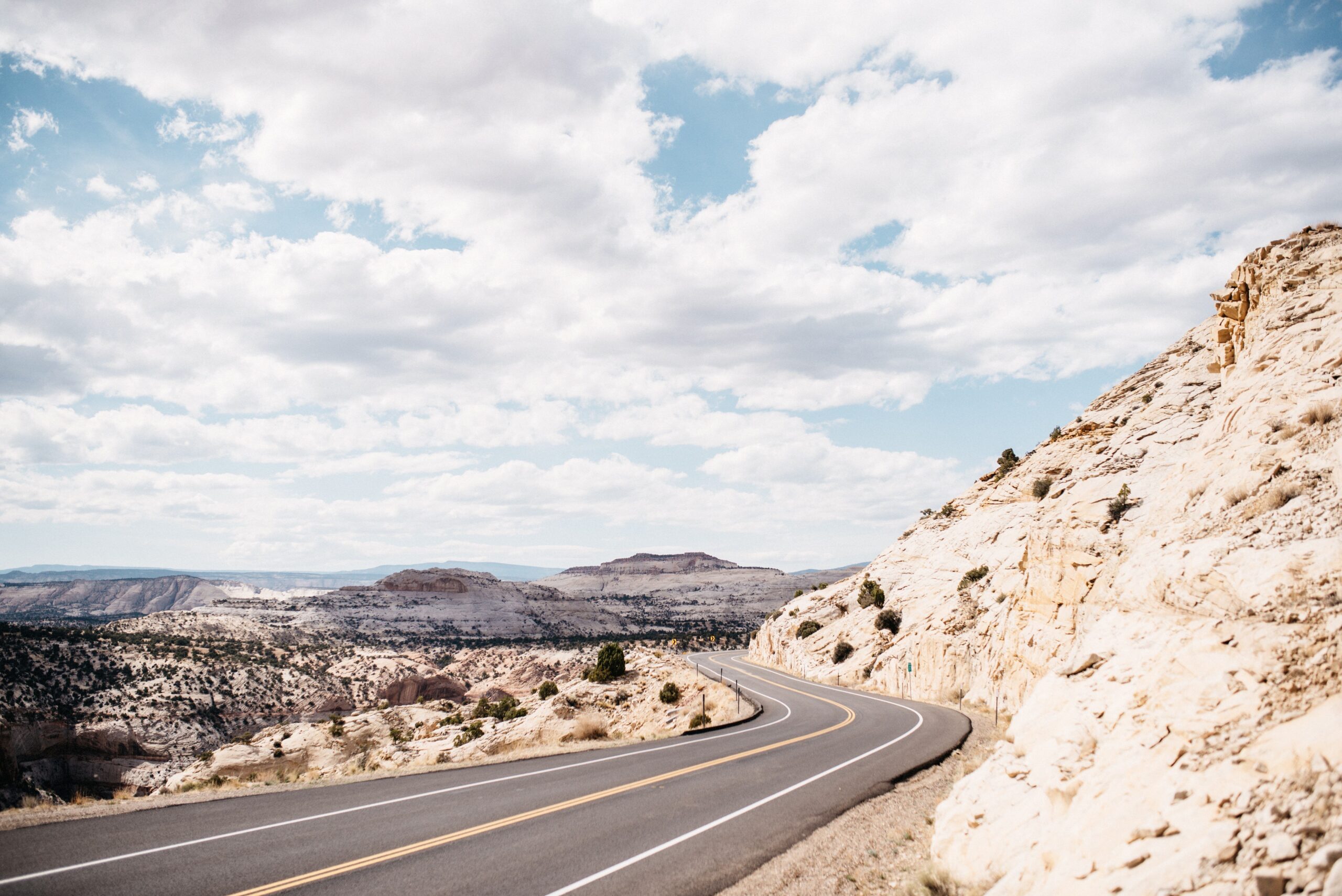
The road from Canyonlands towards Capitol Reef became one of the most scenic drives of our Utah route. We stopped at Natural Bridges National Monument, crossed the strange landscape around Glen Canyon and reached Capitol Reef through Hanksville and Fruita.
Capitol Reef was quieter than Arches, Bryce or Zion. We had one day, chose the Cassidy Arch Trail and added the main viewpoints without feeling that the entire park was moving in the same direction at the same time.
Natural Bridges on the road south
Natural Bridges National Monument was an easy stop between the Needles district of Canyonlands and Capitol Reef. It was much smaller than Arches and did not need to compete with it. The short loop and viewpoints simply broke up the drive and added another look at the natural bridges carved into southern Utah.
From there, the route continued through Glen Canyon. The empty rock, long road and changing colours made the drive feel as though we had landed on another planet. Hanksville itself did not give us much reason to stay, but the landscape between Hanksville and Fruita did.
One day in Capitol Reef
Fruita was the practical centre of the park and the location of the visitor centre. A ranger recommended Cassidy Arch and Navajo Knobs. We chose Cassidy Arch because it fitted our day and because walking across the top of an arch sounded like a good reward for the climb.
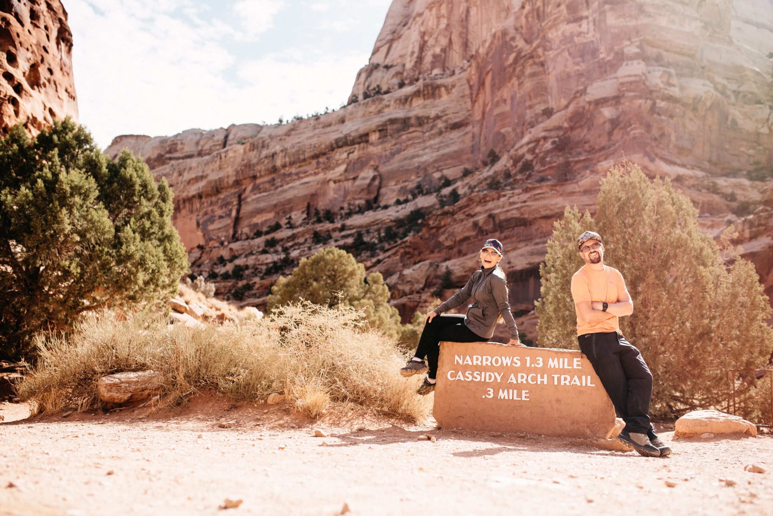
The park’s colours ranged from pale stone to deep red, sometimes layered in the same canyon wall. There were arches, river bends and narrow canyons, but the distances between the main stops were shorter than in many other American national parks.
Missing the turn in Grand Wash
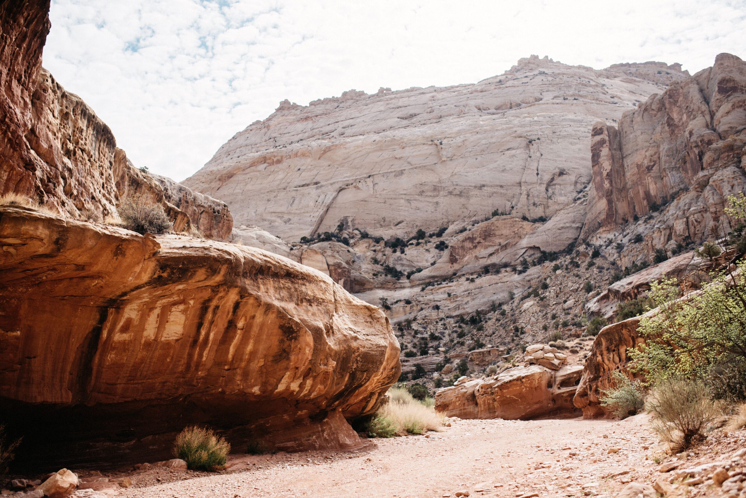
The Cassidy Arch route began by following Grand Wash for roughly 500 metres. The turn then climbed out of the canyon on the left. We missed it and continued for almost another kilometre before realising that the trail had become suspiciously flat for a hike that was supposed to lead above the canyon.
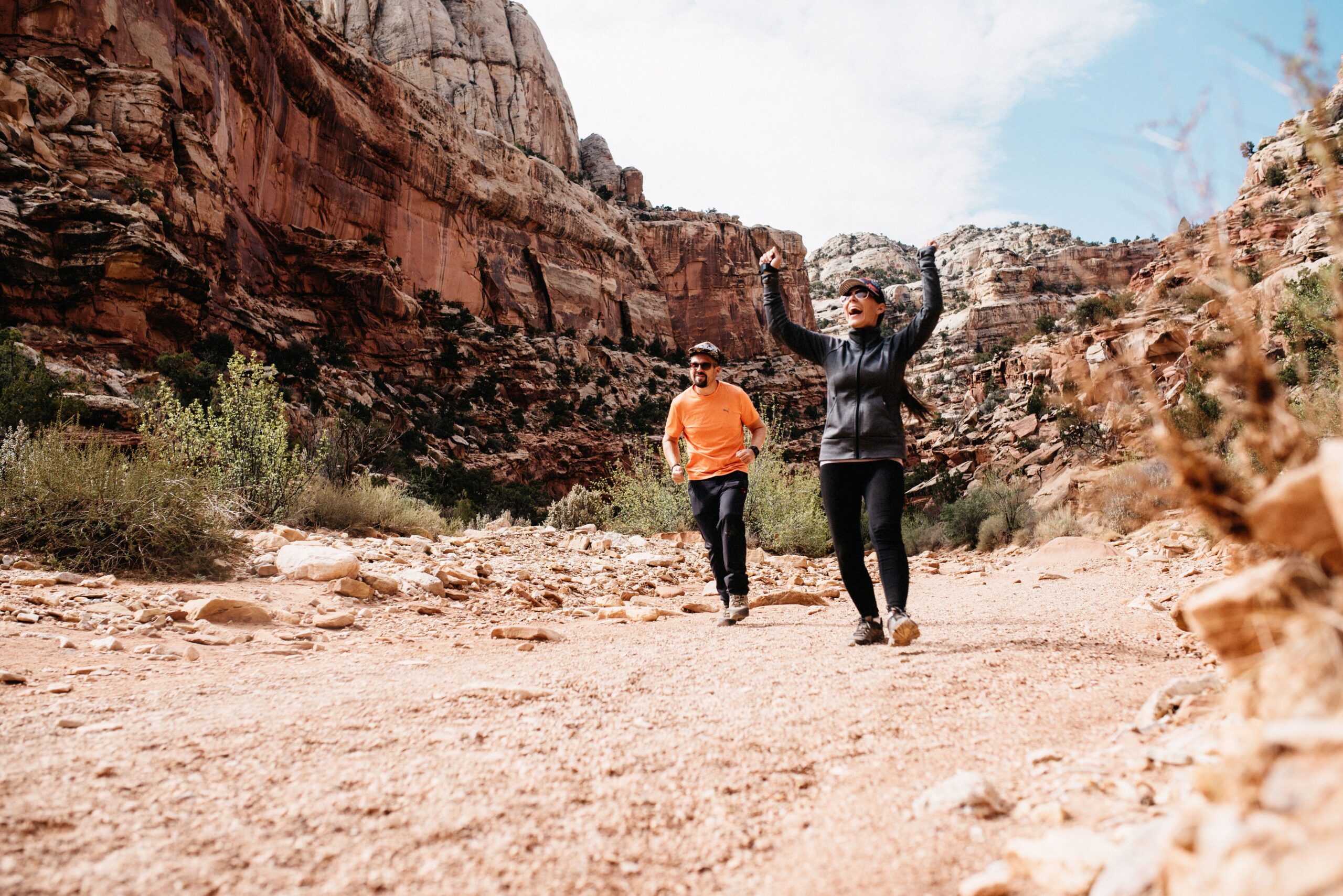
After walking back and finding the junction, the real climb began over stone steps and exposed rock. It was moderately difficult rather than extreme, but the height became noticeable quickly. Anyone uncomfortable near exposed edges would not enjoy every part of it.
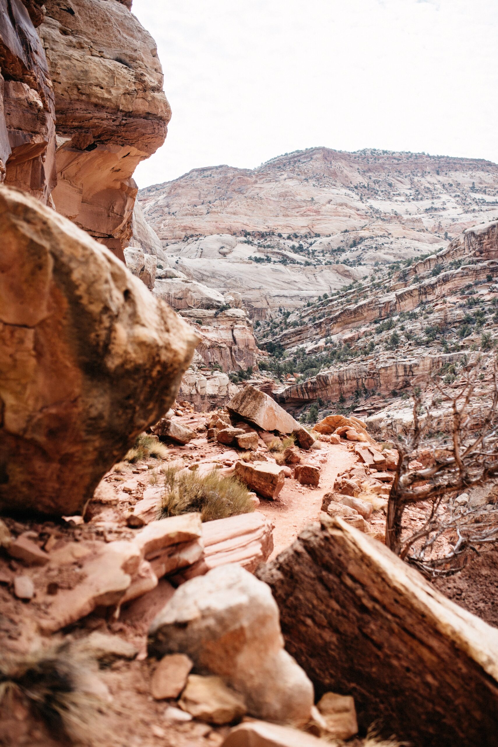
The first view of Cassidy Arch
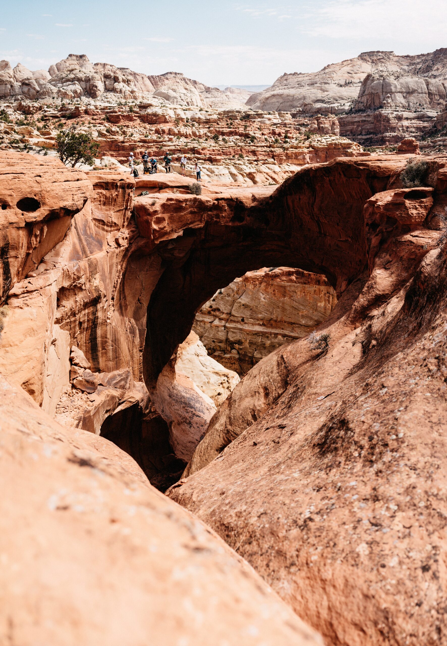
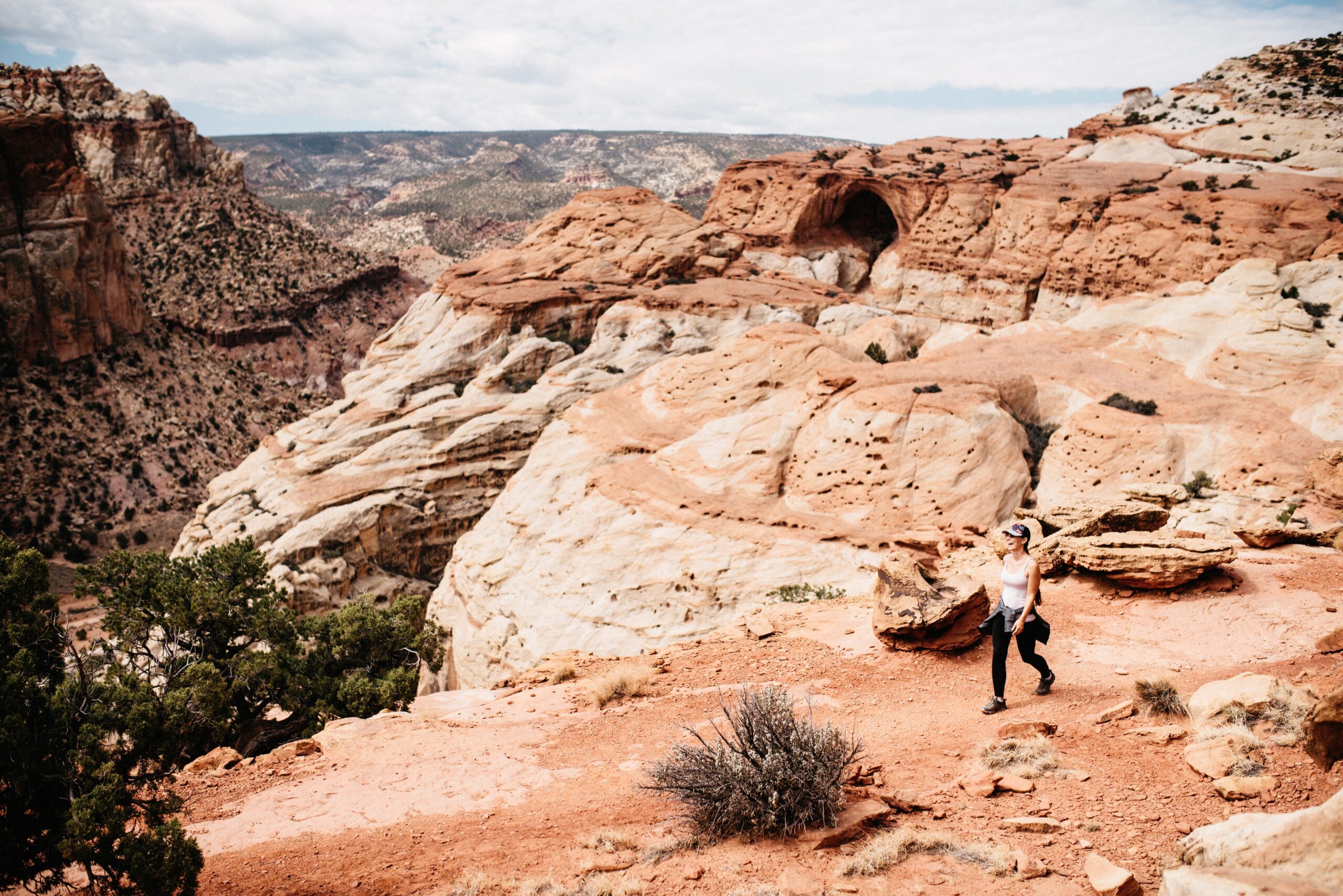
After around 30 to 45 minutes of climbing, Cassidy Arch appeared across the canyon. That first view was still from a distance. The trail continued over open rock for another half hour before reaching the arch itself.
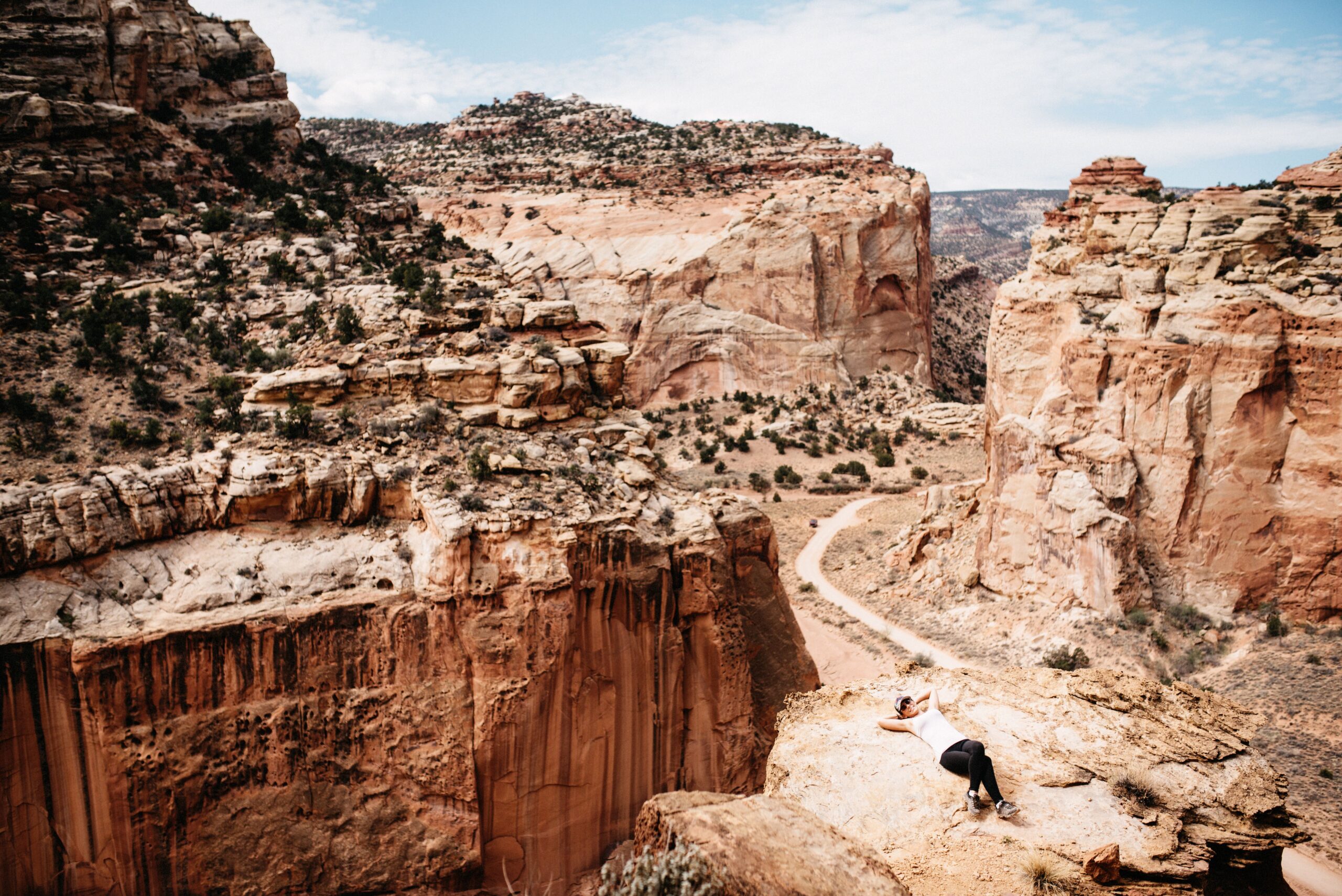
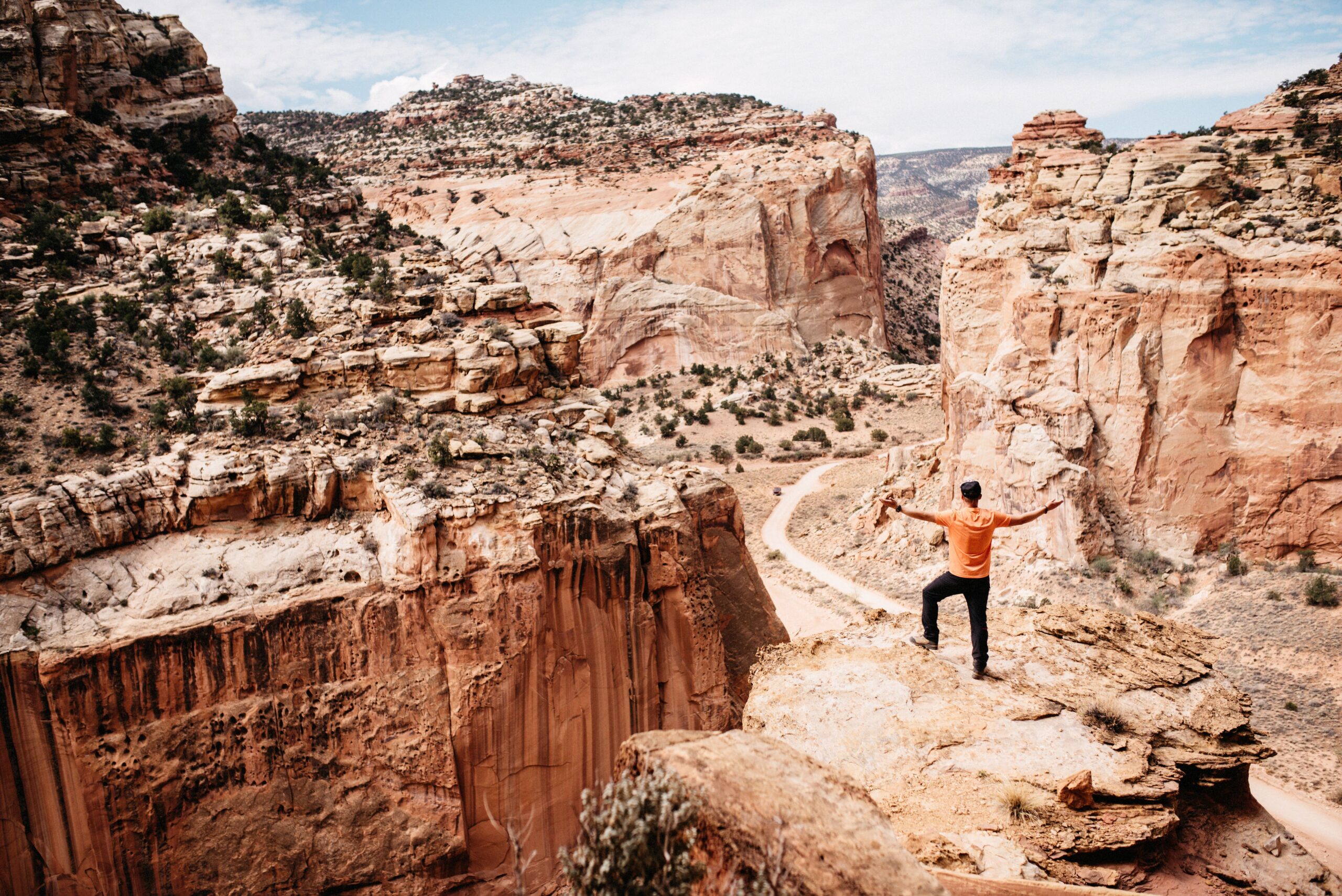
The higher we climbed, the wider the view became. Roads and dry washes looked tiny below us, while the surrounding walls showed nearly every red and white tone we associated with Utah.
Walking onto the arch
Cassidy Arch was broad enough to walk onto, which made it feel very different from viewing an arch from below. We stopped for snacks, sat on the warm rock and used far too much time taking photographs from slightly different angles.
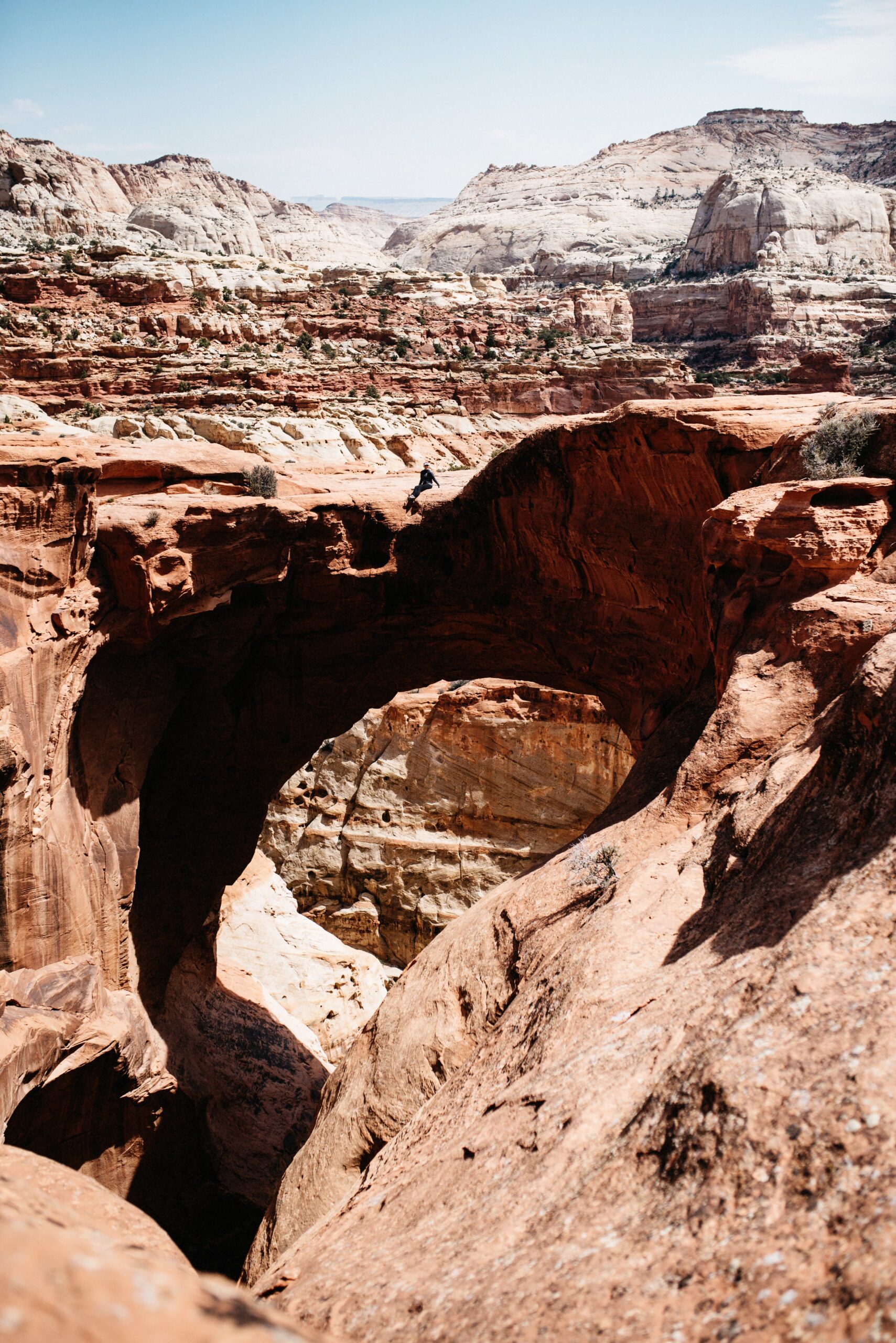
The route was about 5.6 kilometres return, plus the distance we added with our wrong turn. It gave us the combination we wanted from Capitol Reef: a proper hike, open views and one very clear destination at the end.
Driving through the canyon
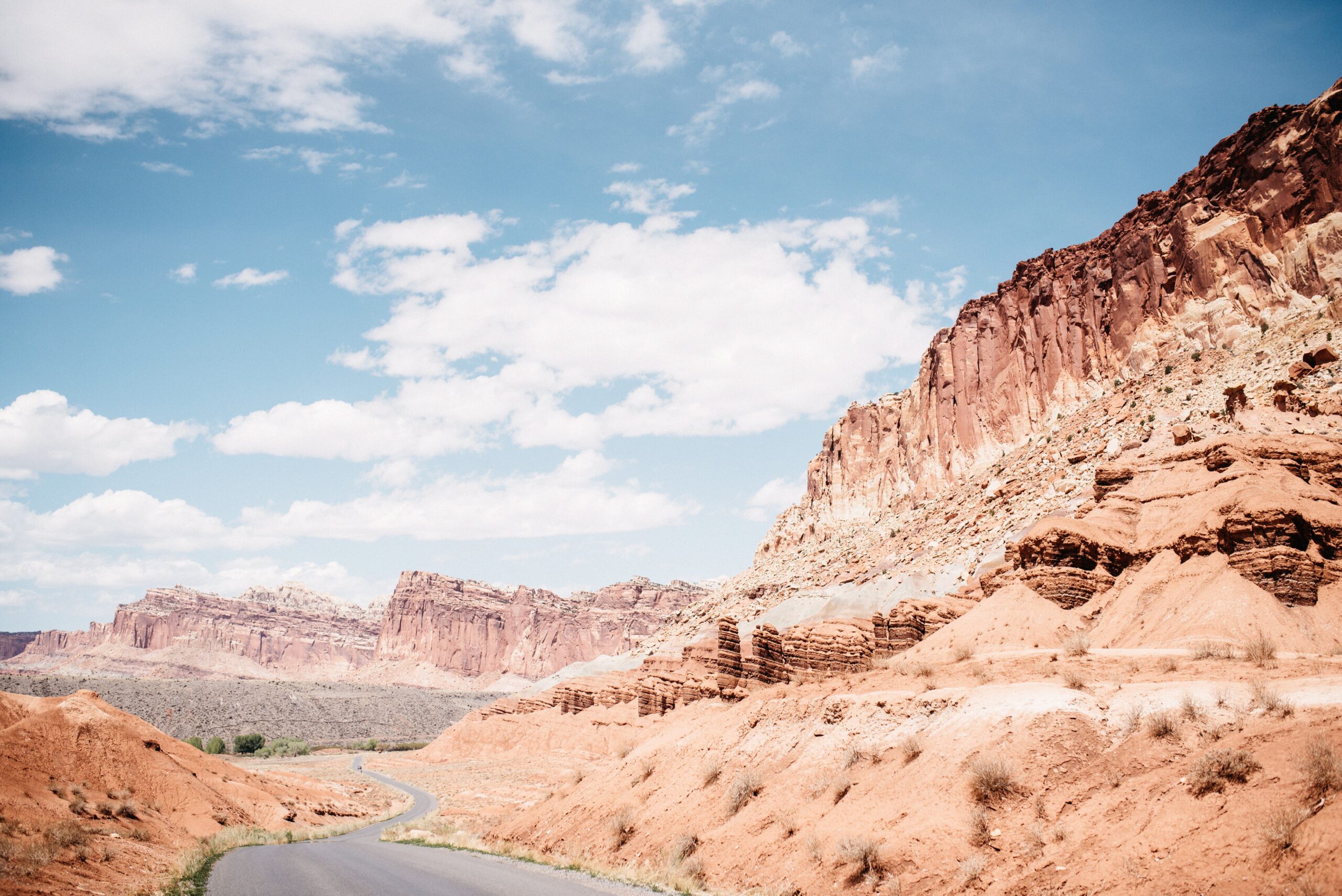
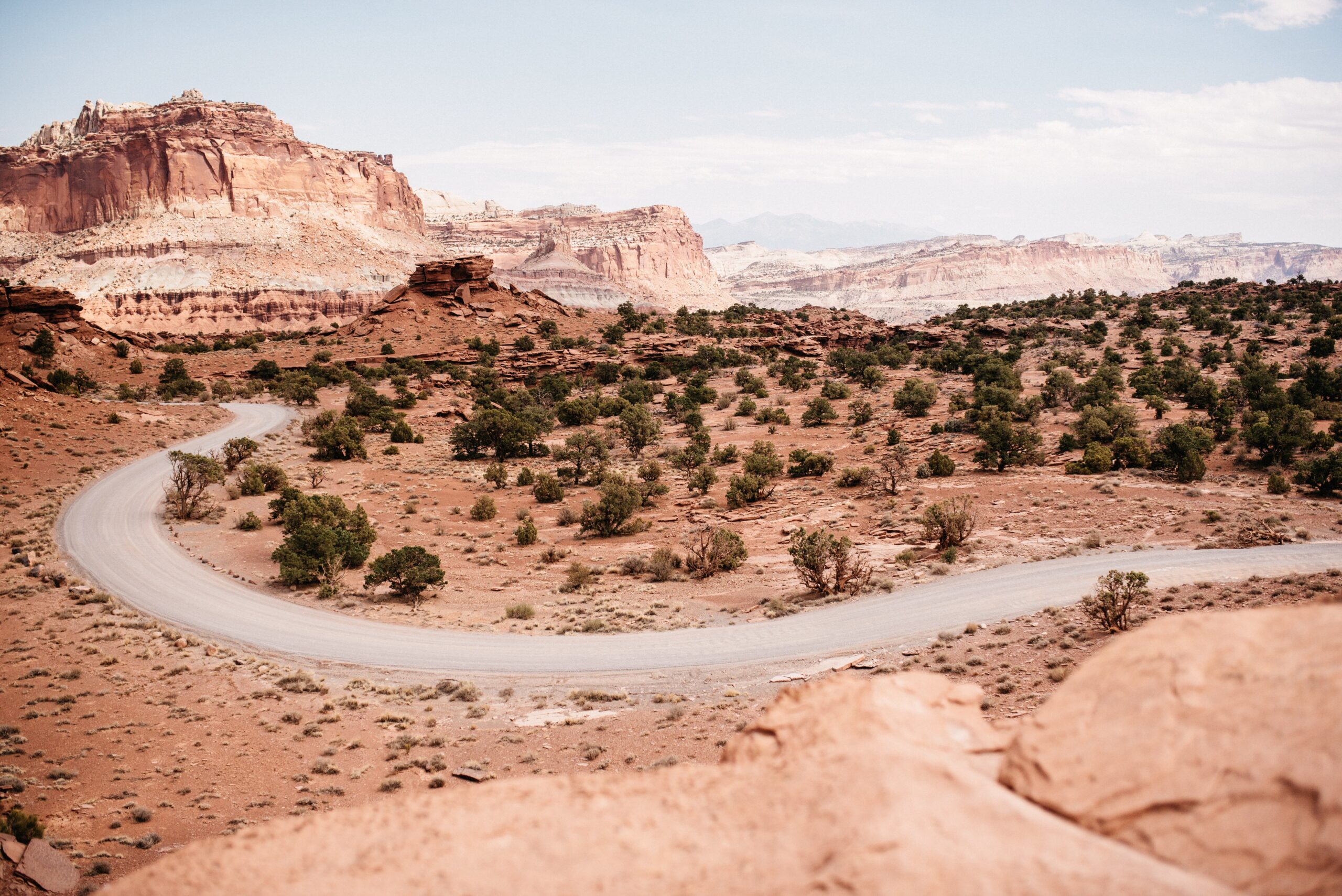
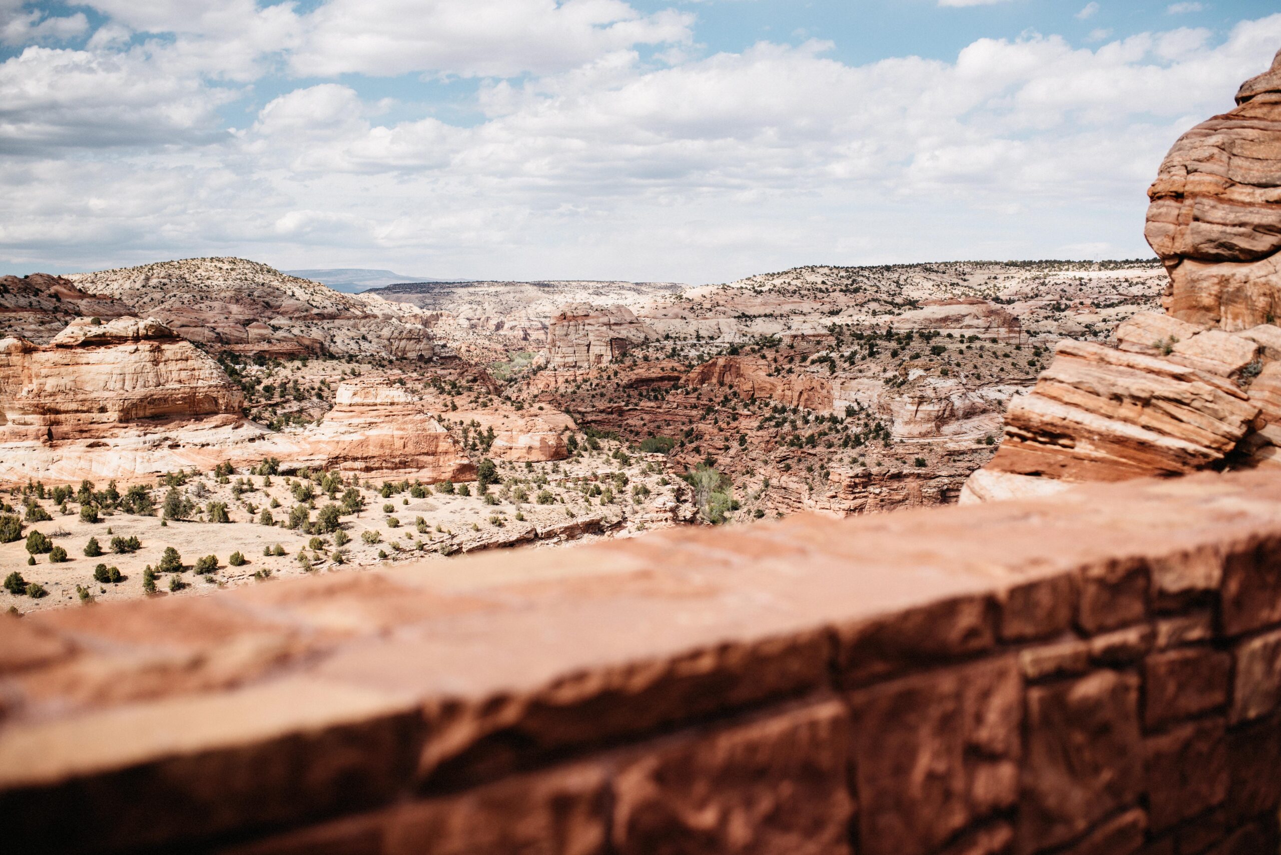
After the hike we followed the scenic road through the park. The route curved between cliffs and dry washes, and every bend changed the colour and shape of the canyon. Capitol Reef did not offer an endless list of famous viewpoints, but the drive itself filled the gaps between them.
Panorama Point and Goosenecks
Panorama Point opened towards the broad, wooded canyon landscape. Goosenecks Overlook looked down towards the river and the tighter curves carved below. Sunset Point began from the same area, making it the obvious final stop if the timing worked.
Sleeping outside the park
Towns such as Torrey and Bicknell offered motels, RV parks and access to public land. We stayed in Bicknell for one night and then continued towards Escalante. After several nights in the camper, a simple room was not a particularly glamorous choice, but it felt very comfortable.
We cover our three hikes through Bryce Canyon in a separate report.