
Canyonlands, as the name already suggests, is a national park dominated by canyons. It is not the Grand Canyon, but it is definitely worth a visit. The park is divided into Island in the Sky, the Needles and the Maze, with the Colorado and Green rivers forming another district of their own.
The distances between these districts are easy to underestimate. Island in the Sky is close to Moab, while the road into the Needles sits much farther south. The Maze is only accessible with a proper four-wheel-drive vehicle, so we explored Island in the Sky and the Needles.
In 2018 the entrance fee was USD 25 per car for seven days, and our America the Beautiful pass was accepted. As in every US national park, our first stop was the visitor centre. The free park map showed the viewpoints and trails, and the rangers were more than happy to help us decide which hikes fitted our time.
Island in the Sky from Moab
Island in the Sky lies north of the park and can easily be combined with Arches National Park. From Moab it was only about 30 miles to the visitor centre. This district is all about standing above the landscape and looking down into a seemingly endless system of canyons.

If you only drive to the viewpoints and add a few short walks, half a day is enough. We spent an afternoon there and stayed until sunset. Longer hikes could easily turn it into a full-day visit, but we saved our hiking energy for the Needles.
Mesa Arch and the canyon viewpoints
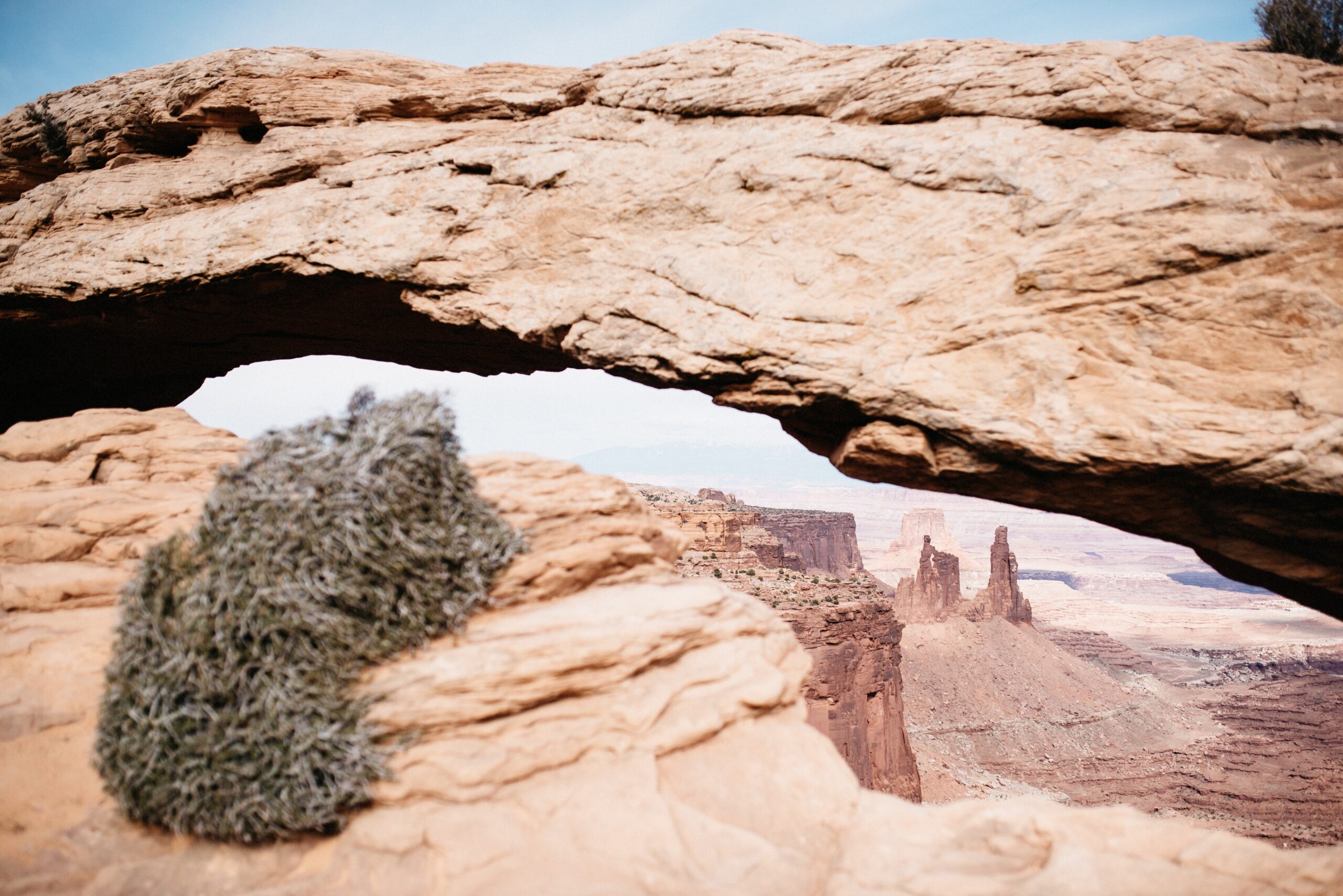
Shortly after the visitor centre, Shafer Canyon Overlook offered a good introduction. Mesa Arch was the stop we definitely did not want to miss. The walk was short and easy, and the natural arch framed the canyon far below it almost too perfectly.
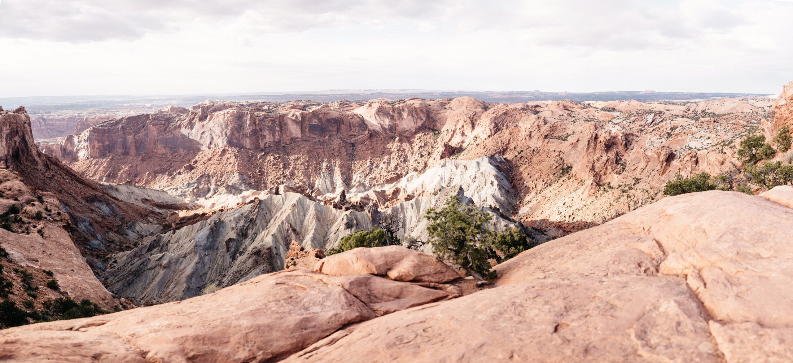
Upheaval Dome had two viewpoints. We only walked to the first because sunset was getting close. The landscape inside the dome looked completely different from the surrounding canyons, and even scientists had different theories about how it formed.
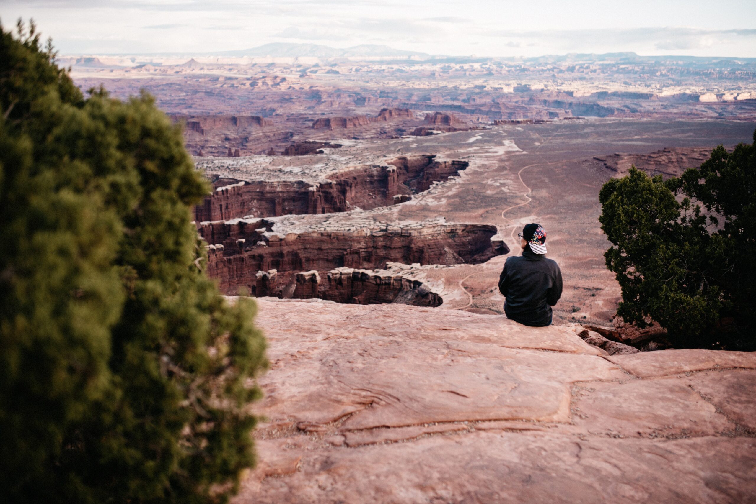
Grand View Point gave us a proper impression of the wide American nothingness and the scale of Canyonlands. For sunset, Orange Cliffs Overlook was our favourite because it faced west and let us watch the light move across the entire landscape.

The long road into the Needles
The Needles became a real hidden treasure on our road trip. It sits well away from the busiest route, which also meant far fewer visitors than in other national parks.
This was not the right district for somebody who only wanted to drive from viewpoint to viewpoint. The Needles was about entering the canyon and walking between the formations. We would plan at least one full day; with more than one long hike on the list, two days would have been easy to fill.
From Highway 191, the turn onto State Route 211 was only the beginning. We still had another 35 miles or about 55 kilometres to drive before reaching the visitor centre, and the same road had to be driven back because the park is a dead end.
We first drove north to Moab for Arches and Island in the Sky, then returned to the Needles and continued towards Capitol Reef by way of Natural Bridges and Glen Canyon. It added roughly 200 kilometres to our route. For us, it was worth it.
Chesler Park Loop: our favourite Canyonlands hike
We had read about the Chesler Park Loop while planning the trip, but still asked the rangers for their recommendation. Both the ranger at Arches and the ranger in the Needles suggested the same hike. They were right.
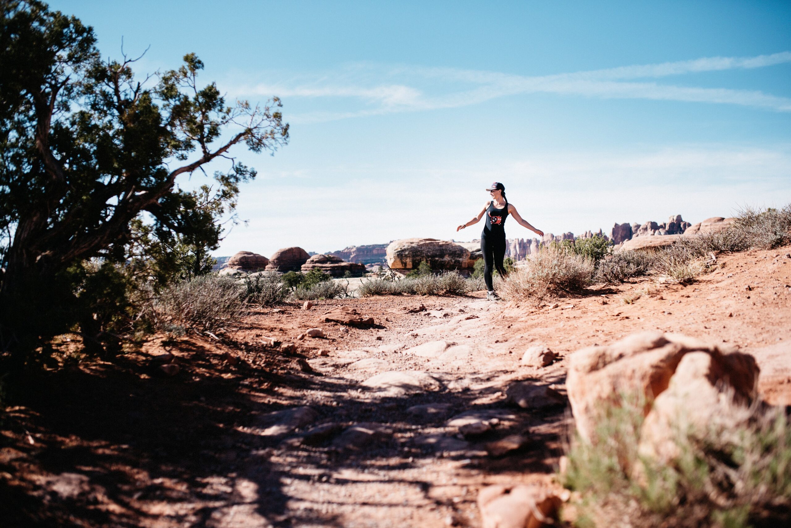
- Trail length: About 18 kilometres
- Starting point: Elephant Hill trailhead
- Character: Long rather than technically difficult
- Important: Bring plenty of water and sunscreen
The first five kilometres connected the car park with the actual loop. This section had a few ups and downs but mostly gave us open views towards the Needles and surrounding formations. There were many good places for a snack, although almost none of them had shade.
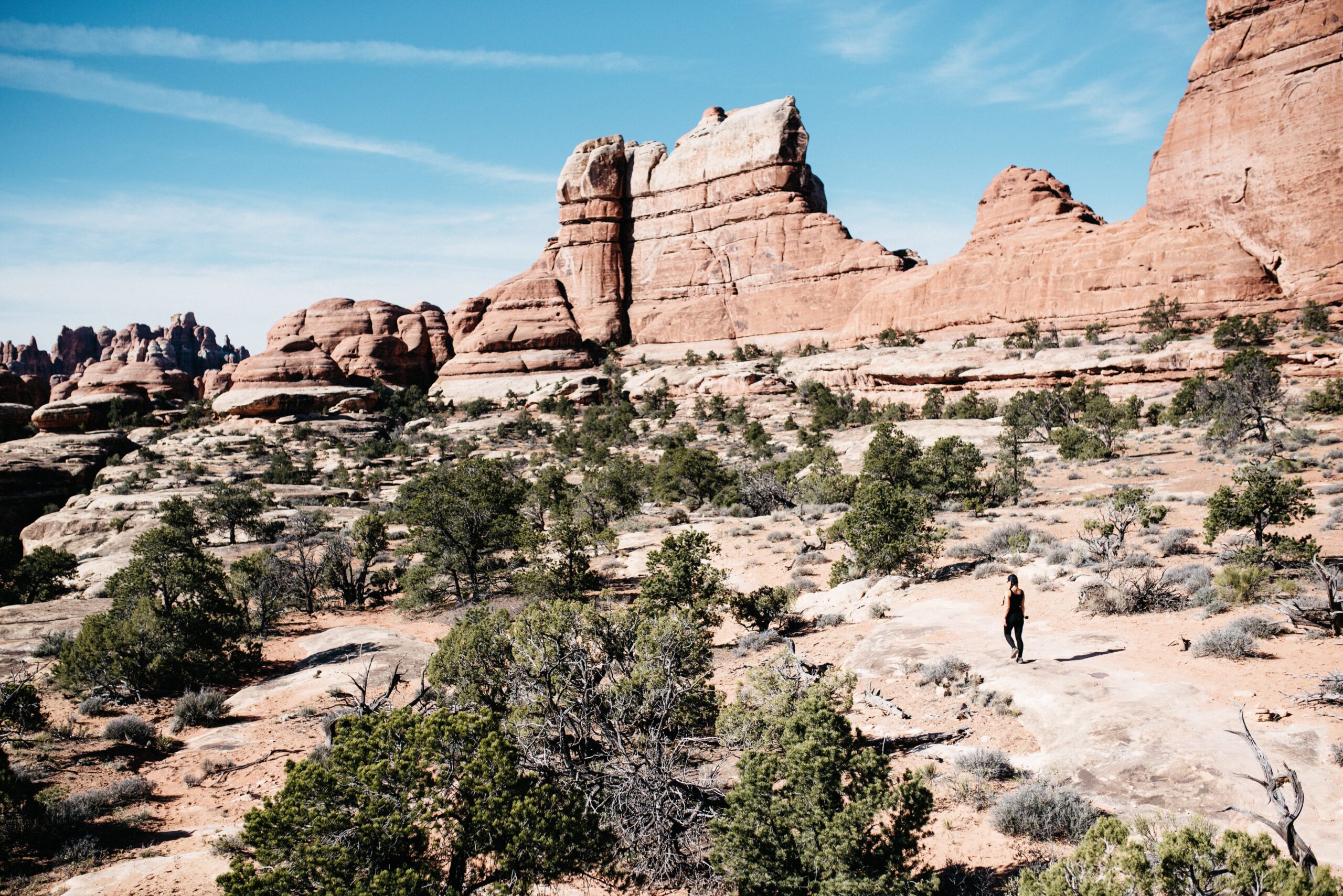
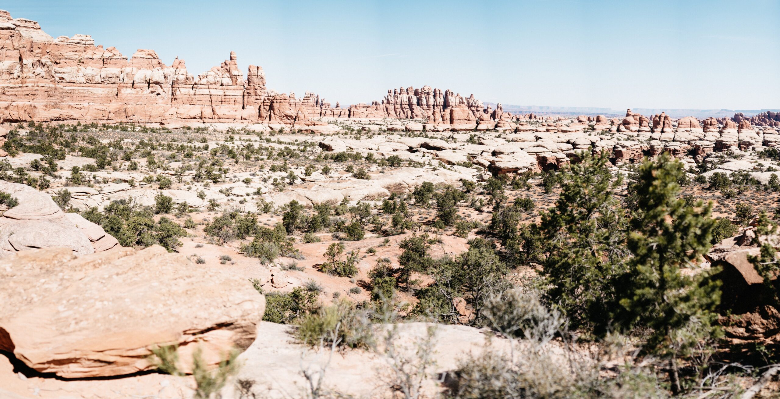
The loop itself moved through grassland and desert, climbed across rocks and eventually disappeared into dark, narrow slots. The landscape kept changing, which made the distance feel much shorter on the way in.
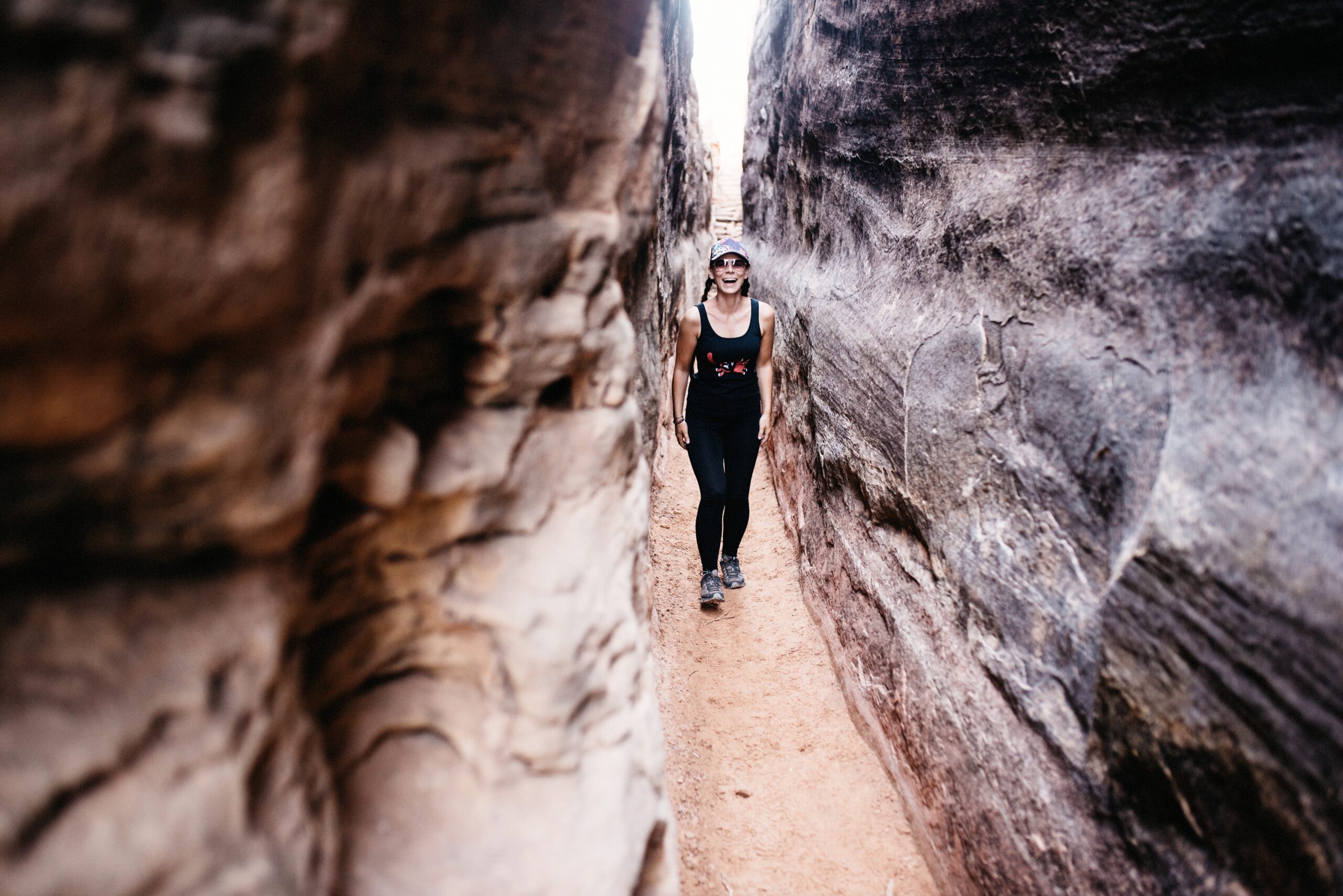
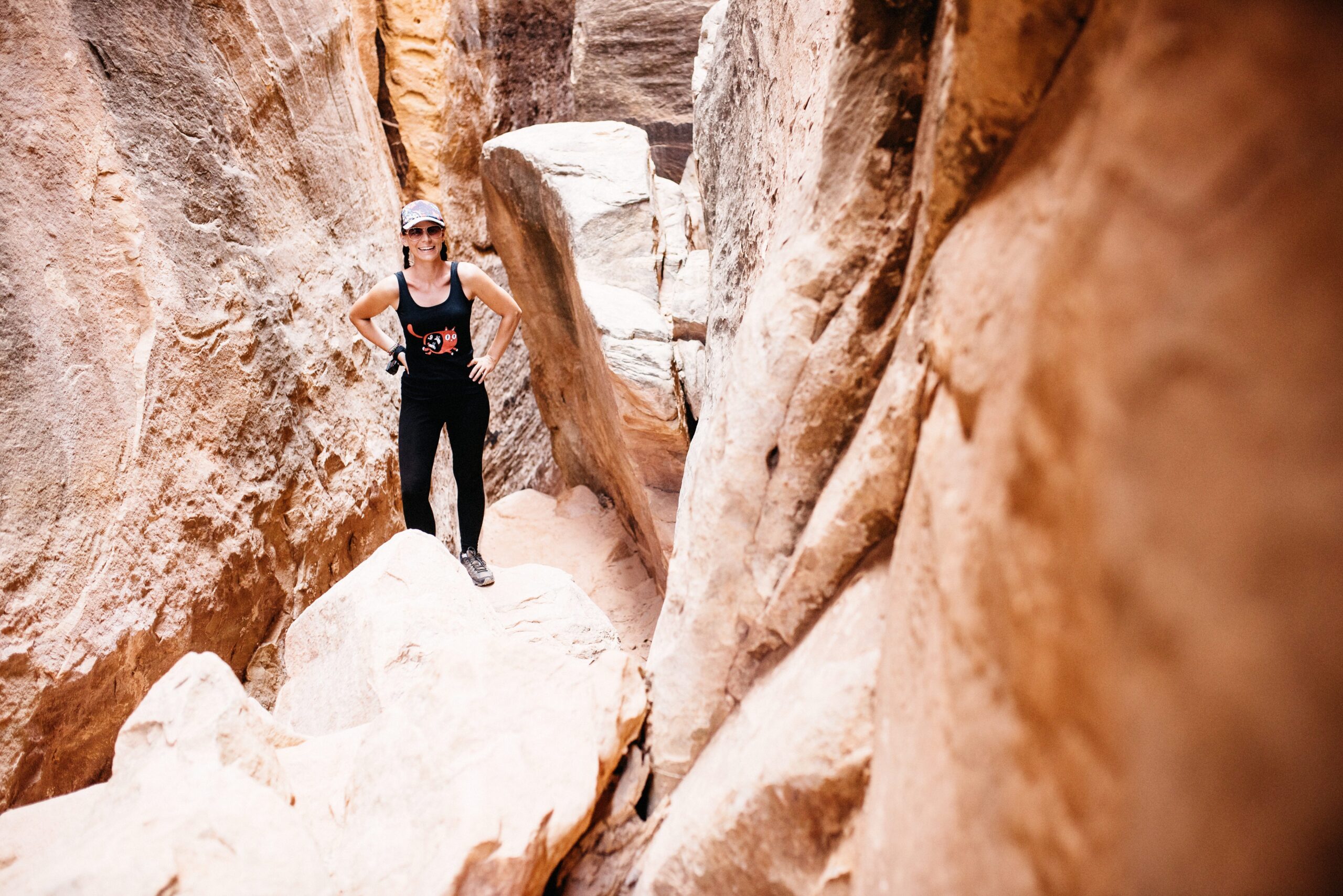
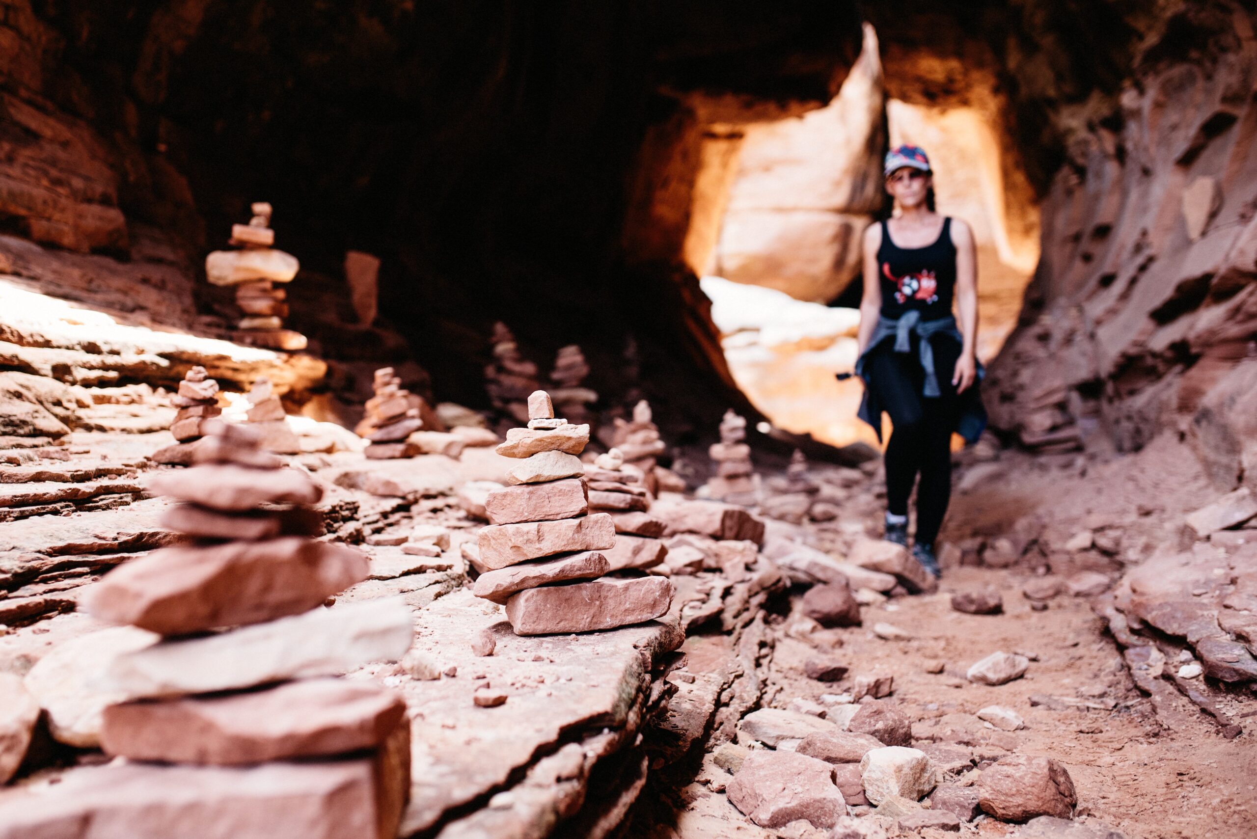
The five kilometres back to the campervan felt considerably longer. By that point we had already walked about 13 kilometres, the sun was still strong and every bend looked as if it should finally reveal the car park. It did, eventually.
Druid Arch was another ranger recommendation, but unlike Chesler Park it was not a loop. For anyone who prefers hiking towards one clear destination, it might be the better choice. We stayed with Chesler Park and had no reason to regret it.
Two things were important throughout the park: staying on the trail because the desert soil is extremely sensitive, and carrying enough water and sunscreen because there is almost no shade. The narrow sections offered a short break from the sun, but most of the 18 kilometres were exposed.
Camping near the Needles
The campground inside the park included reservable sites and some first-come, first-served spaces. It was difficult to get a spot, so we stayed outside the park. The simple BLM campgrounds around the Needles were also popular, which meant arriving early was still important.

Hamburger Rock and Pasture Creek were inexpensive alternatives in 2018. The system was simple: find an available site, fill out the permit and attach it to the post before heading into the park.
Hamburger Rock cost USD 10 per car and Pasture Creek USD 5 at the time. The BLM sites were also first come, first served and could fill quickly, so reserving a place before starting a full day hike was the safest order.
Leaving Canyonlands towards Capitol Reef
Instead of returning directly to Moab, we continued west through a much quieter part of Utah. The route took us past natural bridges, pale rock and long empty roads before eventually reaching Capitol Reef.
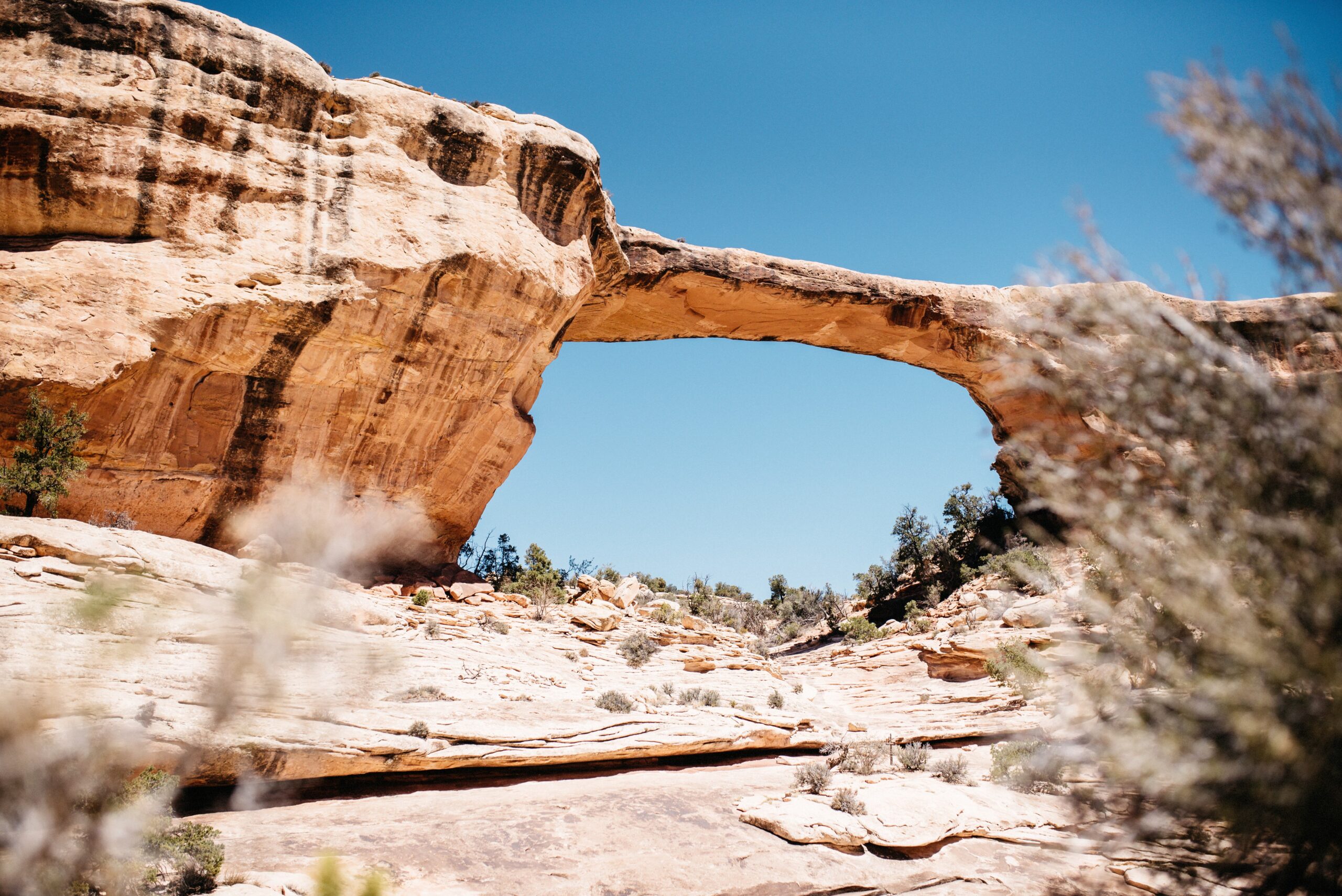

Island in the Sky was easy to visit and delivered the classic overlooks. The Needles asked for much more time and effort, but it was the part we remembered most clearly. If you enjoy hiking and abandoned landscapes, do not treat it as an optional extra.