
After more than six months of moving around the world, we were tired of airports. Instead of flying from San Francisco to Vancouver, we rented a car and drove north. That decision turned the distance into nine days of city streets, lighthouses, redwoods, snow and Pacific beaches.
We spent four nights in San Francisco, then followed the coast through Point Reyes and Fort Bragg, crossed the redwoods, found Crater Lake still surrounded by snow and continued along Oregon’s coast towards Washington.
Four days in San Francisco
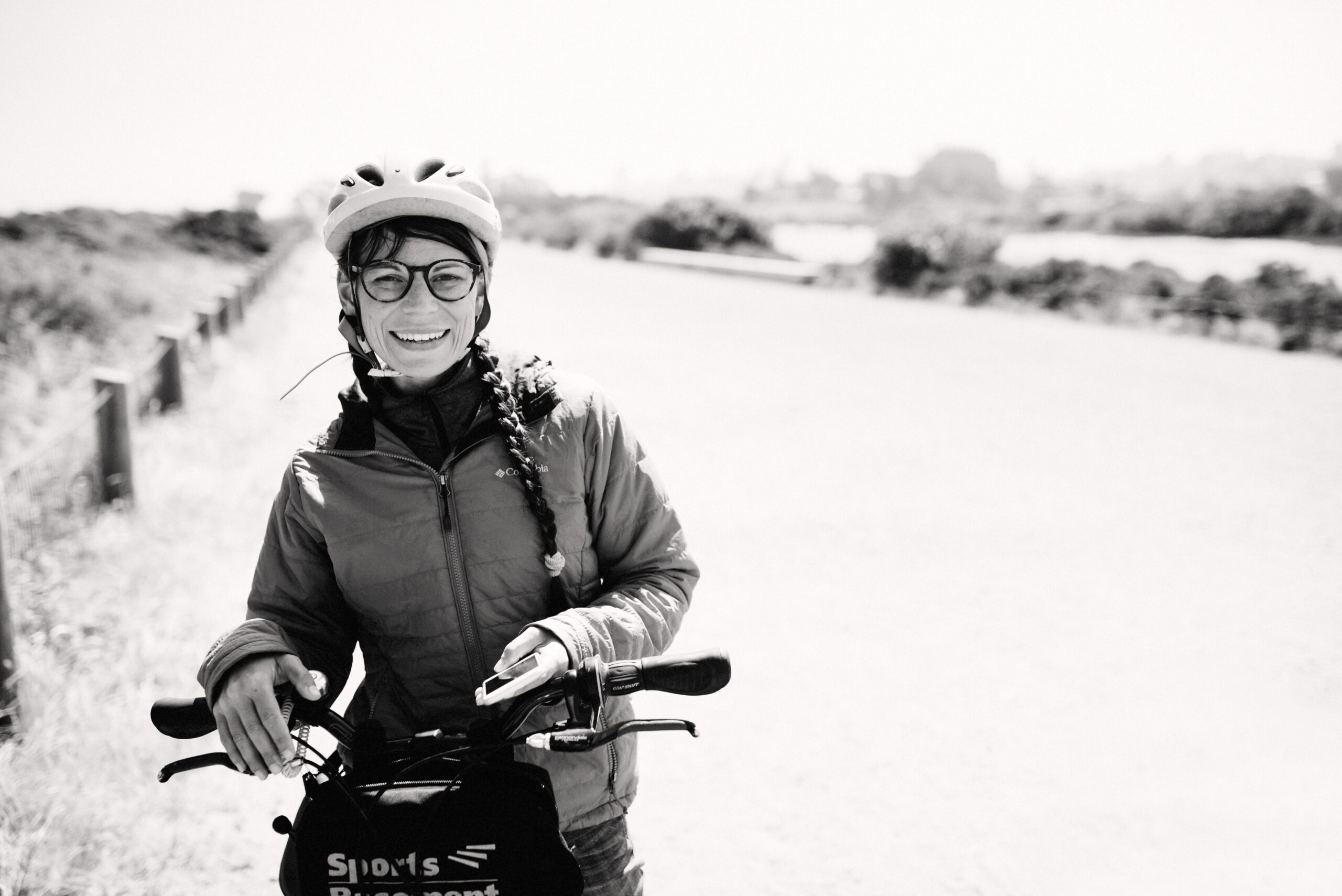
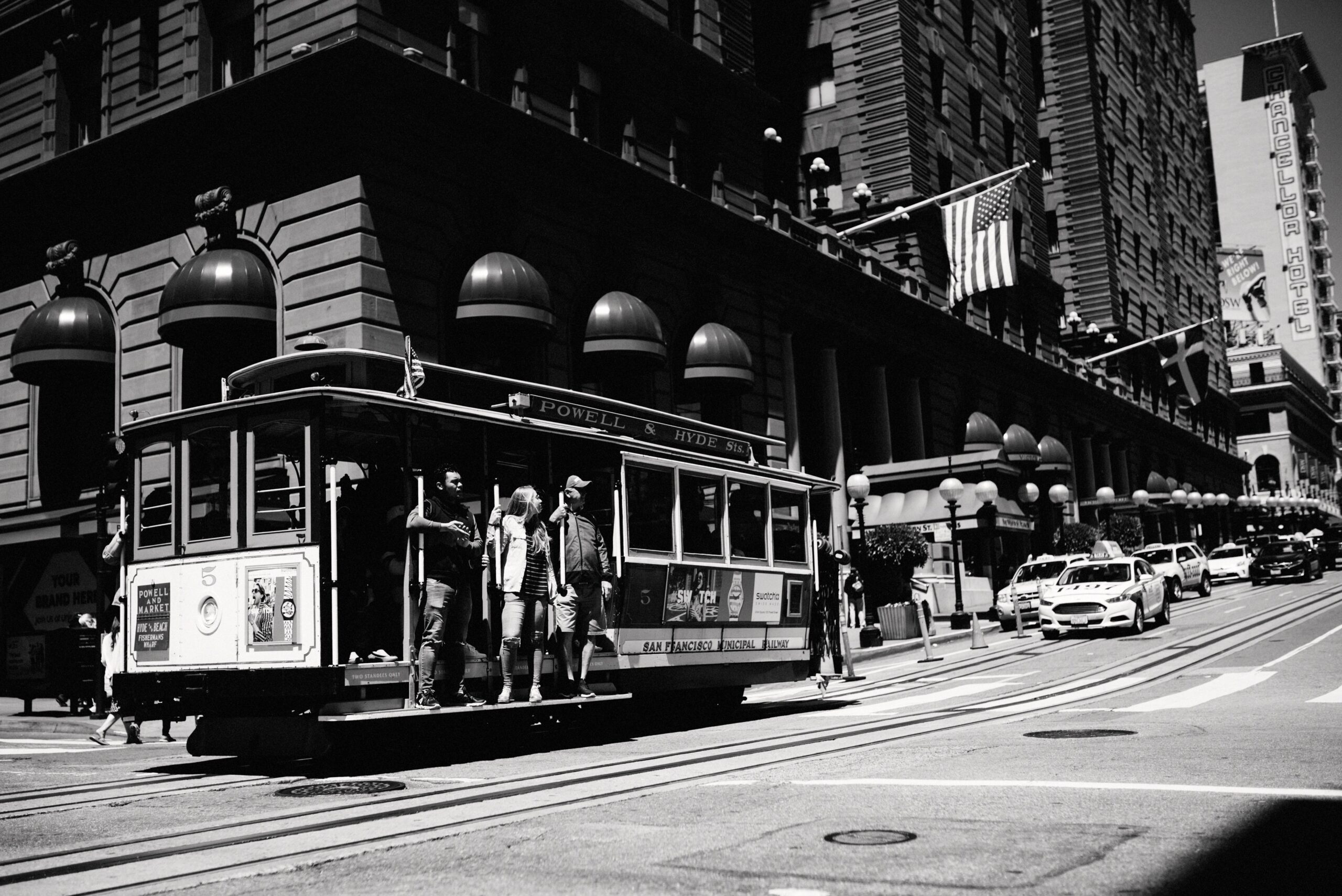
We returned the camper in Oakland and stayed in a small hotel in San Francisco. Walking tours gave us Chinatown and the city’s history, while a bicycle day connected the waterfront, Golden Gate Bridge and the open spaces beyond the centre.
We had four nights in the city before the rental-car part of the route began. That was enough time to walk, cycle and take the cable car without squeezing every sight into one day. It was also the first proper pause between returning the camper in Oakland and packing everything into another vehicle.
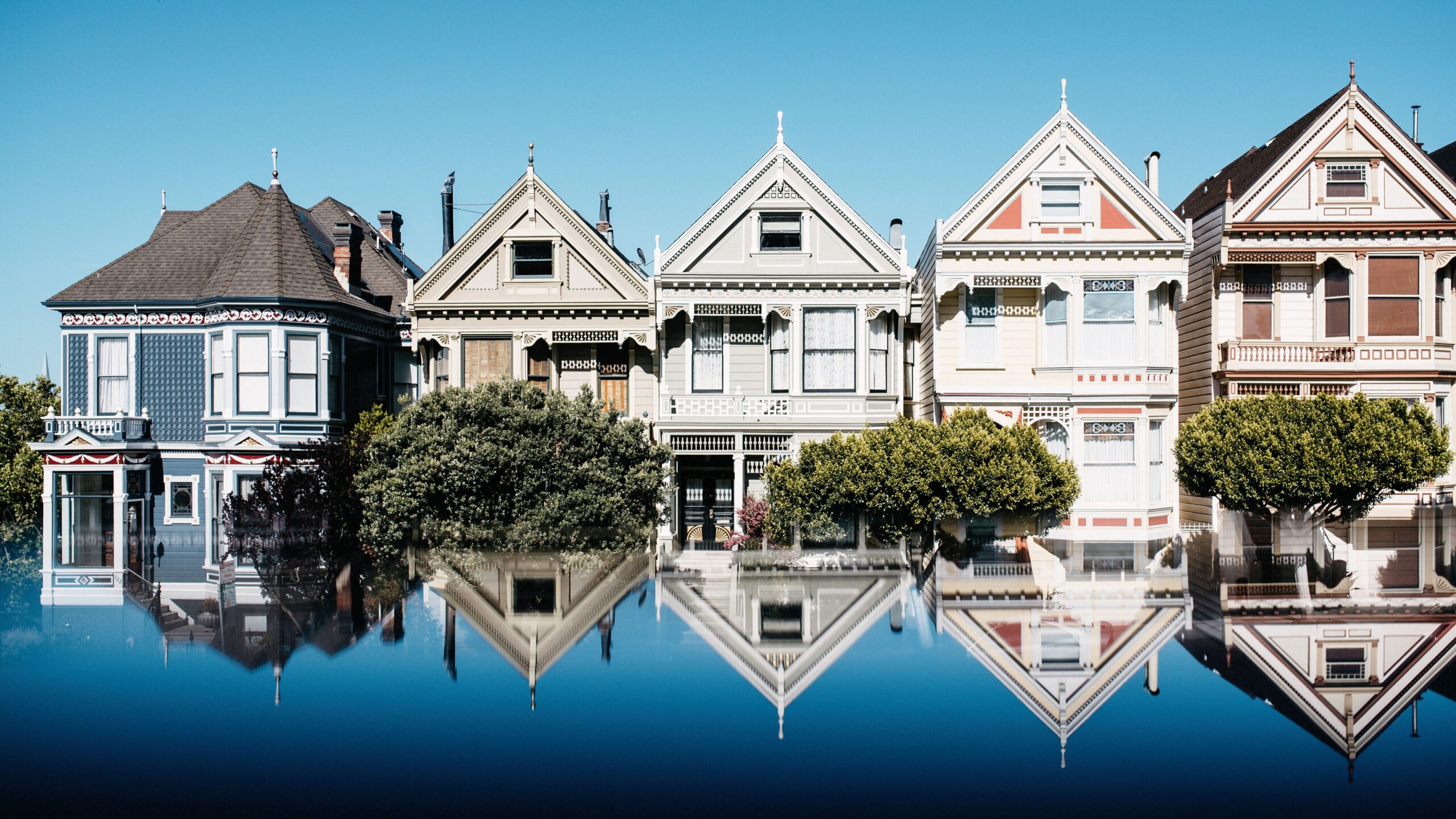

San Francisco was easy to recognise and harder to move through. Hills appeared between apparently close points, streets changed character in a few blocks and the cold wind arrived whenever the sun made us forget the bay.

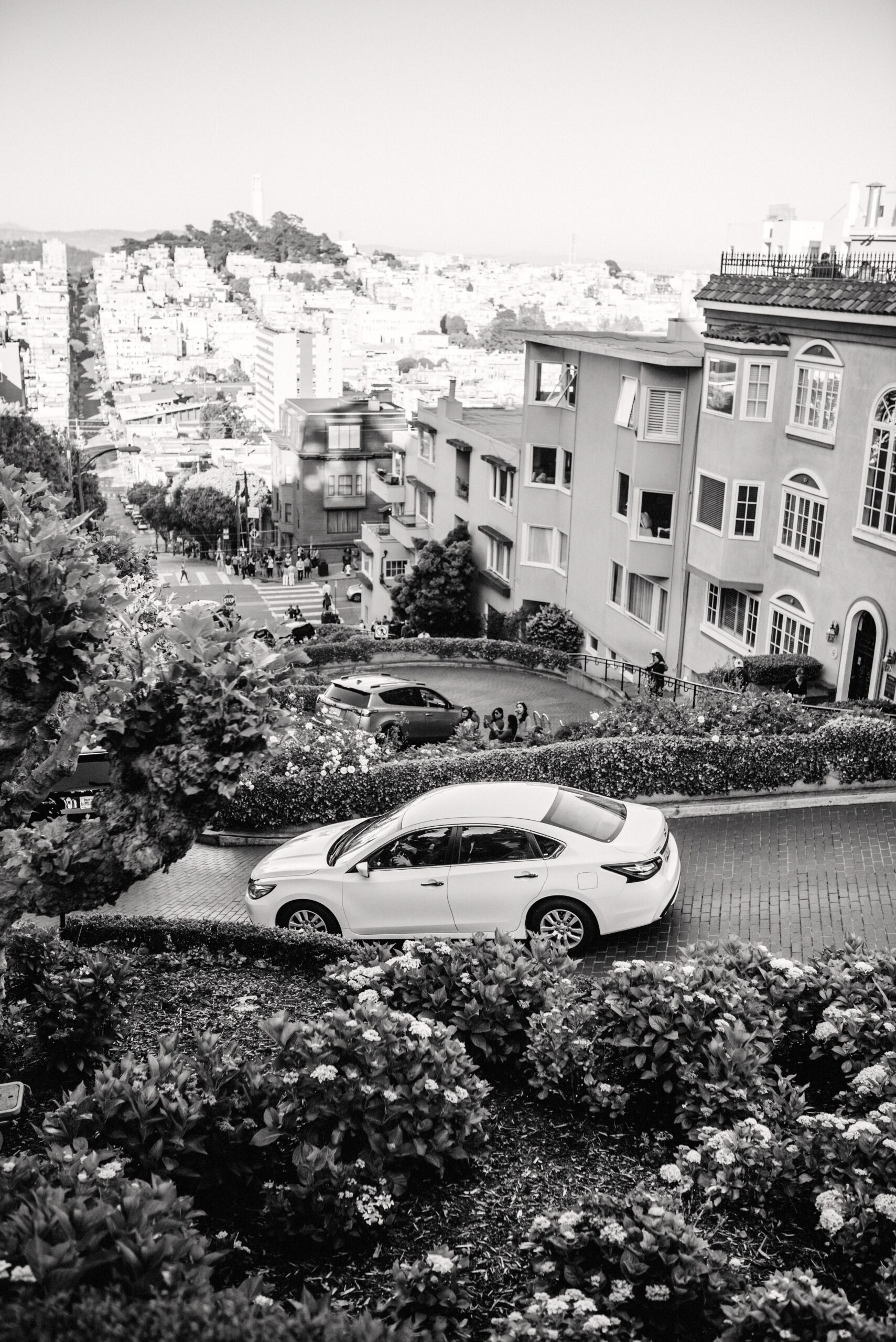
We added Lombard Street, cable cars and the neighbourhoods between them without trying to turn the city into a race. After months on the road, four nights in the same room already felt like a break.
Across the Golden Gate to Point Reyes
We picked up the rental car and crossed the Golden Gate Bridge heading north. Leaving San Francisco in that direction was free; the toll applied when driving back into the city. Point Reyes National Seashore became our first stop about an hour later.
The Golden Gate Bridge may ultimately be only a red bridge, but it is still the landmark everybody connects with San Francisco. Driving over it ourselves was therefore a good start to the journey north. Glass Beach, on the other hand, had been on our bucket list for far too long and was one of the reasons we chose the road instead of another flight.
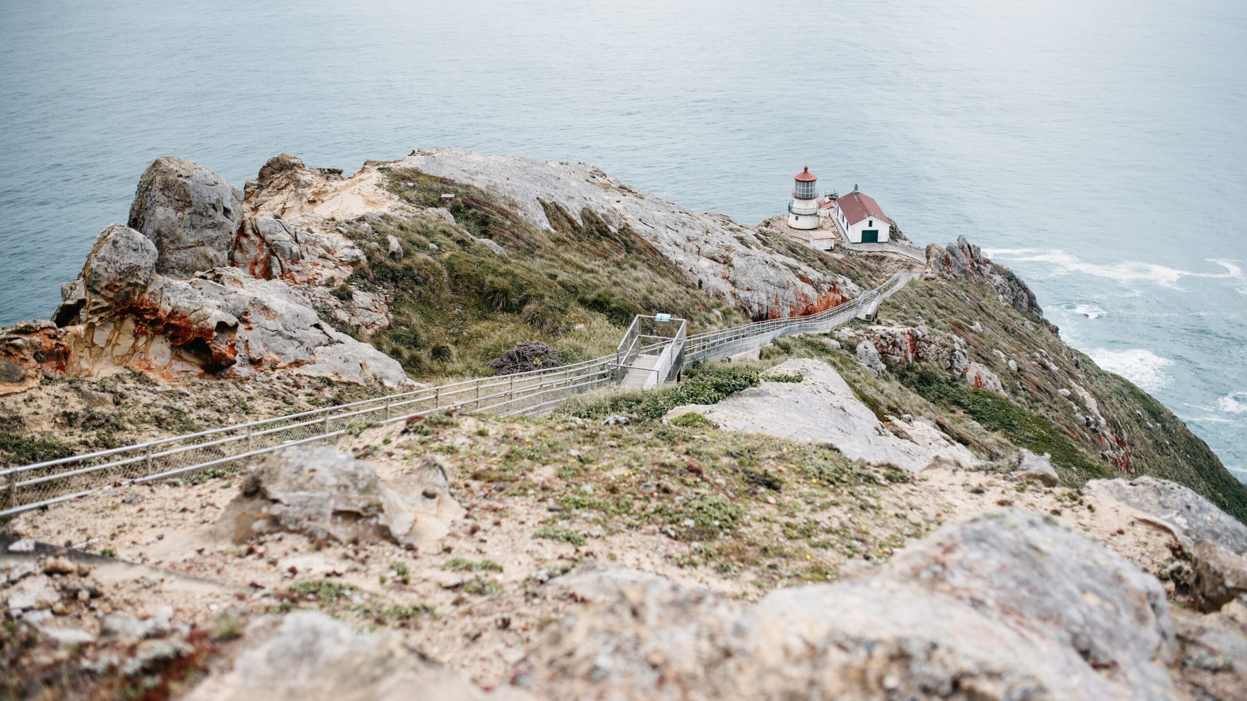
The lighthouse sat below a long staircase on an exposed headland. Wind and low cloud were part of the setting, not a reason to wait for better conditions. From the cliffs, the Pacific coast stretched north in one uninterrupted line.
Glass Beach and the road to the redwoods
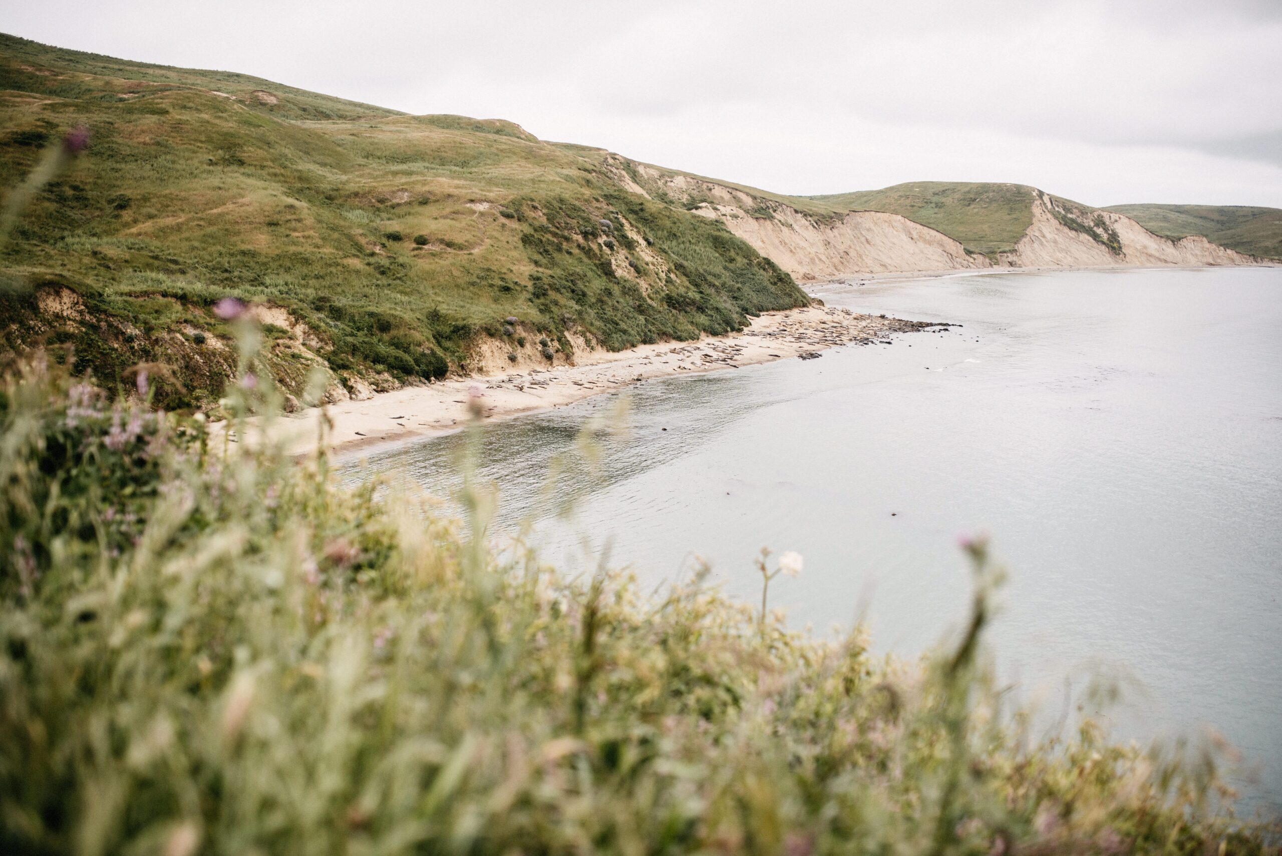
We continued through Sonoma County to Fort Bragg and Glass Beach, a stop that had been on our list for years. Small pieces of coloured glass still covered parts of the shore, polished by the water and mixed between ordinary stones.

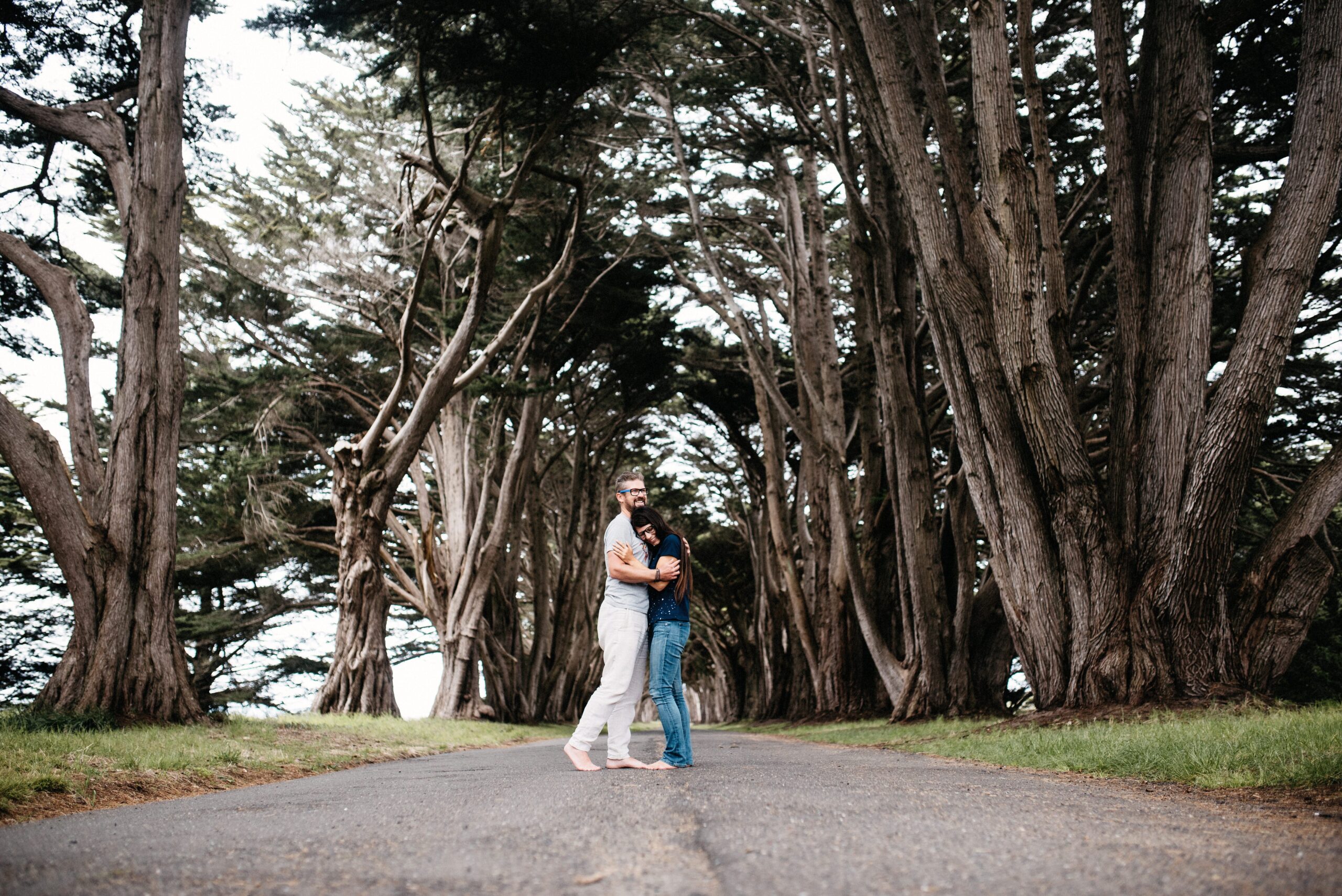
The coast then led us towards Redwood National and State Parks. Prairie Creek became our base for a walk among trees whose height was difficult to judge from the forest floor.
This part of the journey moved quickly. We stayed one night near Point Reyes, one in Fort Bragg, then continued via the redwoods to Chemult for Crater Lake. Afterwards came Charleston and Seaside on the Oregon Coast before we crossed into Washington. The changing overnight stops tell the route quite well: we were here to keep moving north, but still wanted enough time to get out of the car.
Prairie Creek and the Big Tree
We combined the Prairie Creek and Cathedral trails and stopped at Big Tree. The names were not subtle, but neither was the forest. Fallen trunks formed tunnels, living trees disappeared into the canopy and people became useful scale markers in every photograph.
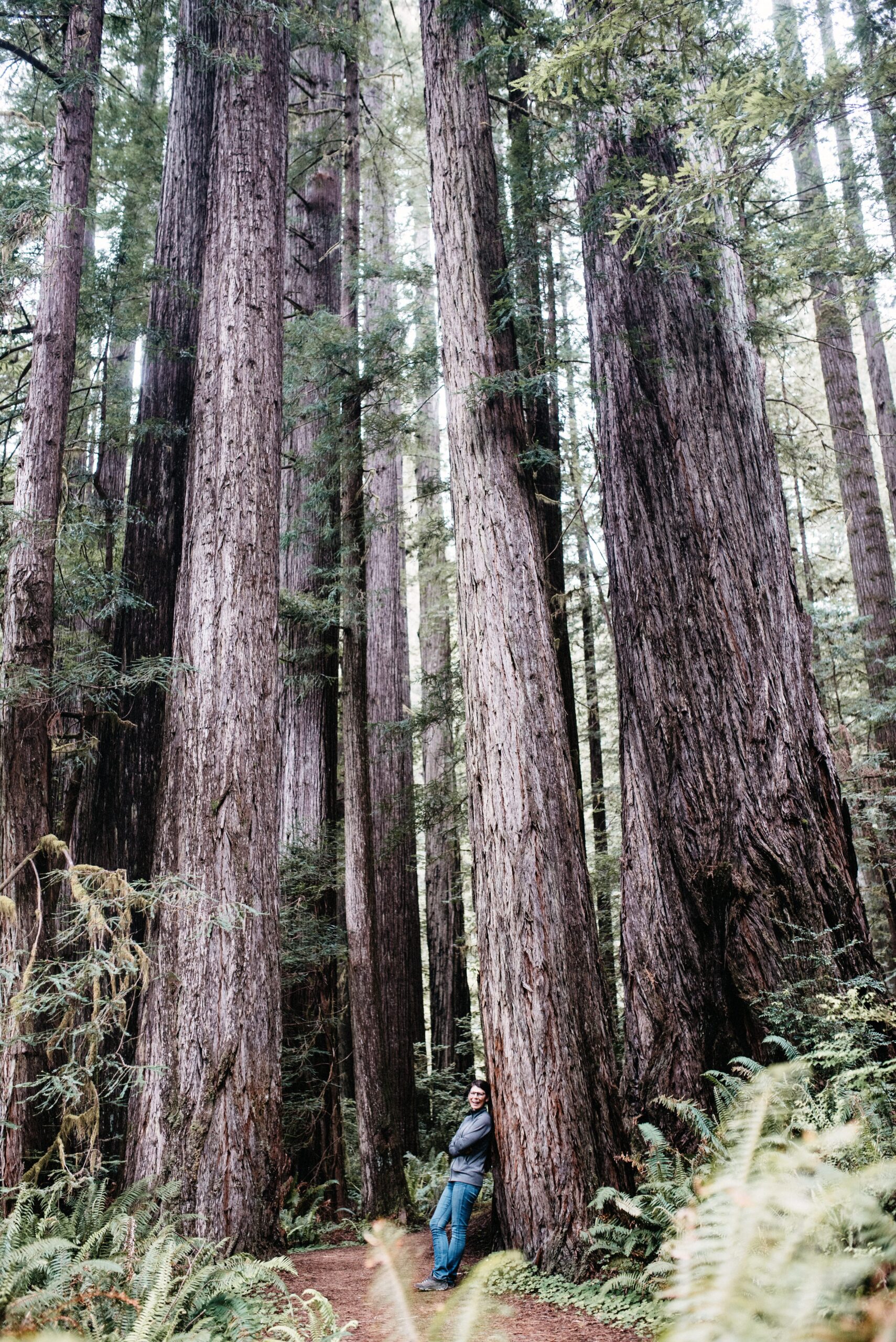
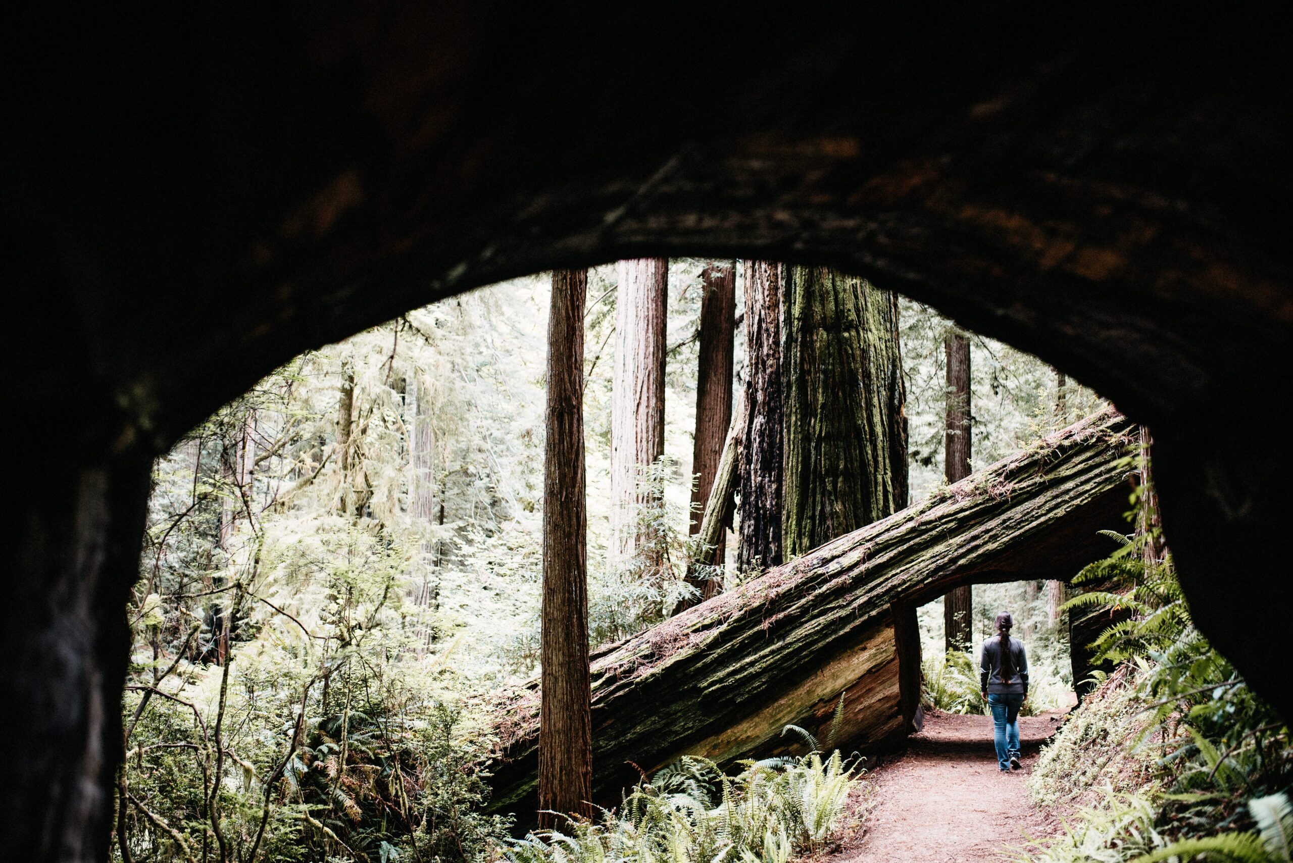
The walk was quiet and almost level, a complete change from the exposed desert hikes of Utah and Arizona. Moist air, ferns and dark trunks made the northern California coast feel like another country.
Crater Lake in late spring
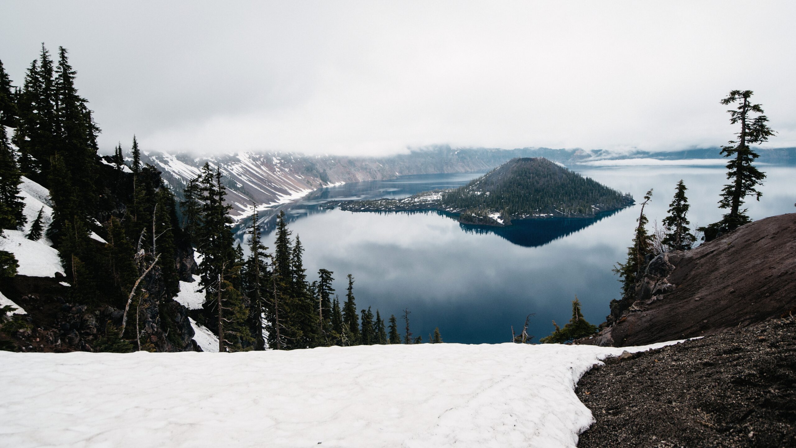
We drove inland to Crater Lake and discovered how strongly the season controlled the visit. Snow still covered the rim, cloud moved over the water and much of the summer route was not available. The lake appeared between white banks rather than beneath a clear blue sky.
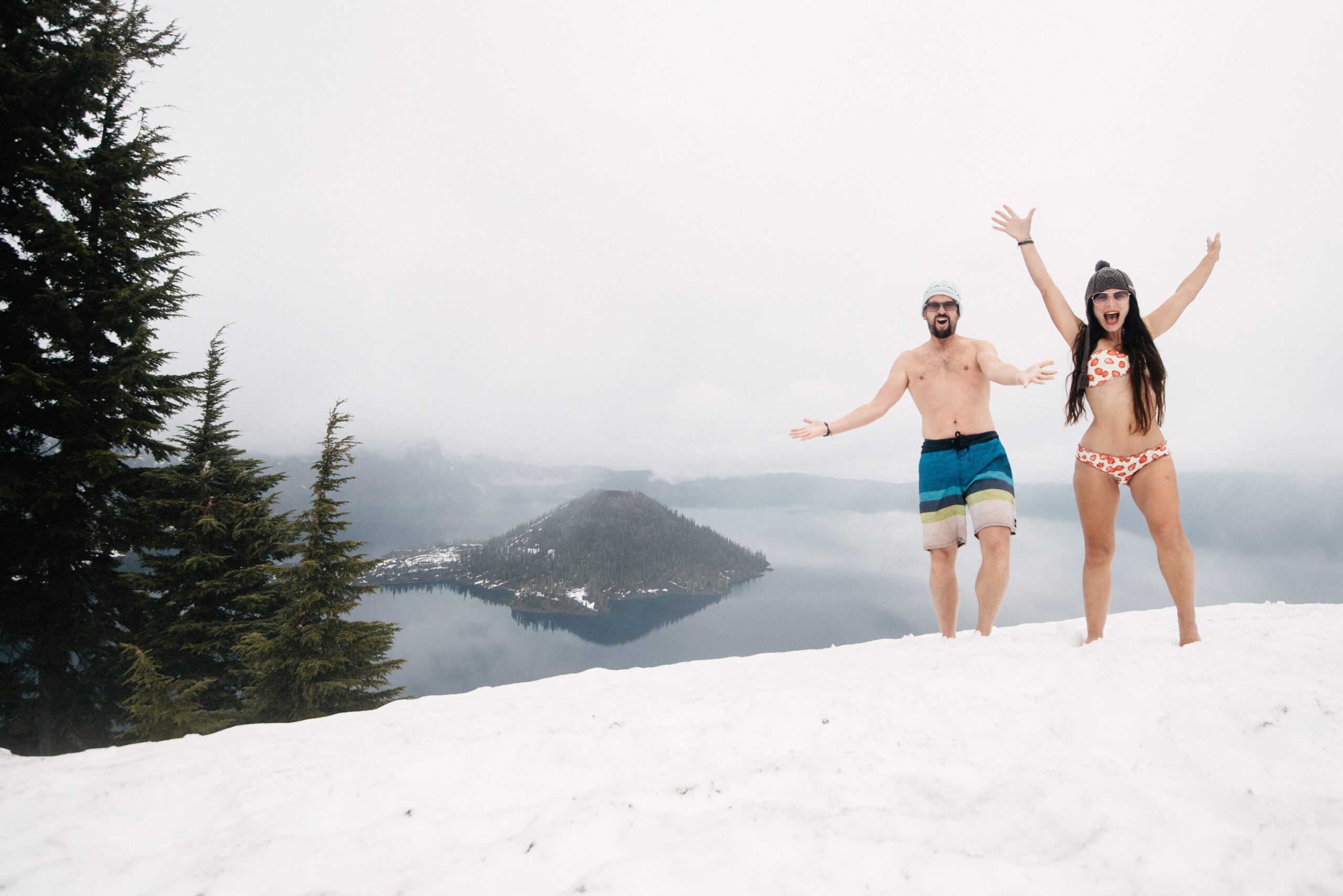
We had carried swimwear through snowier places already and used it for a deliberately absurd photograph above the lake. It did not make the air warmer, but it documented the difference between the season we imagined and the one we found.
Bandon and the Oregon Coast
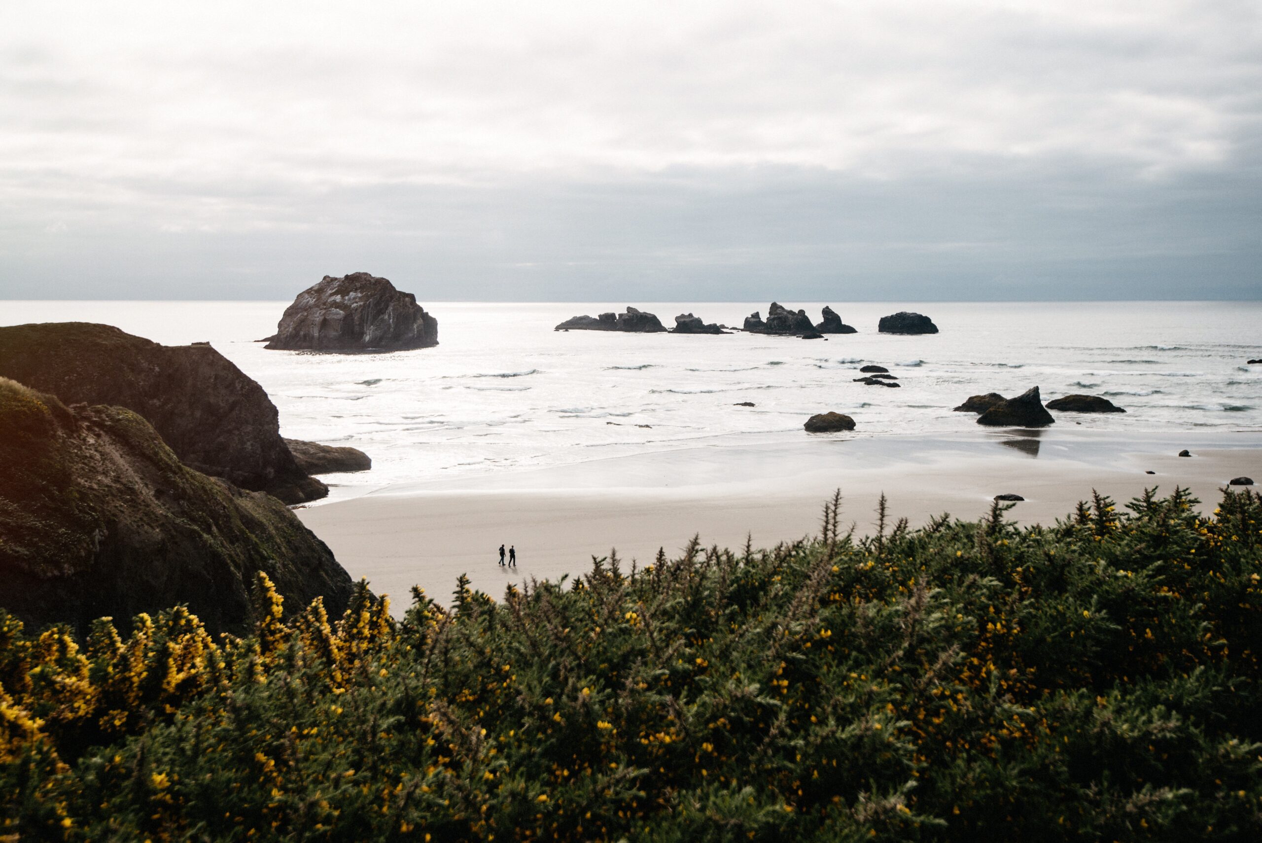
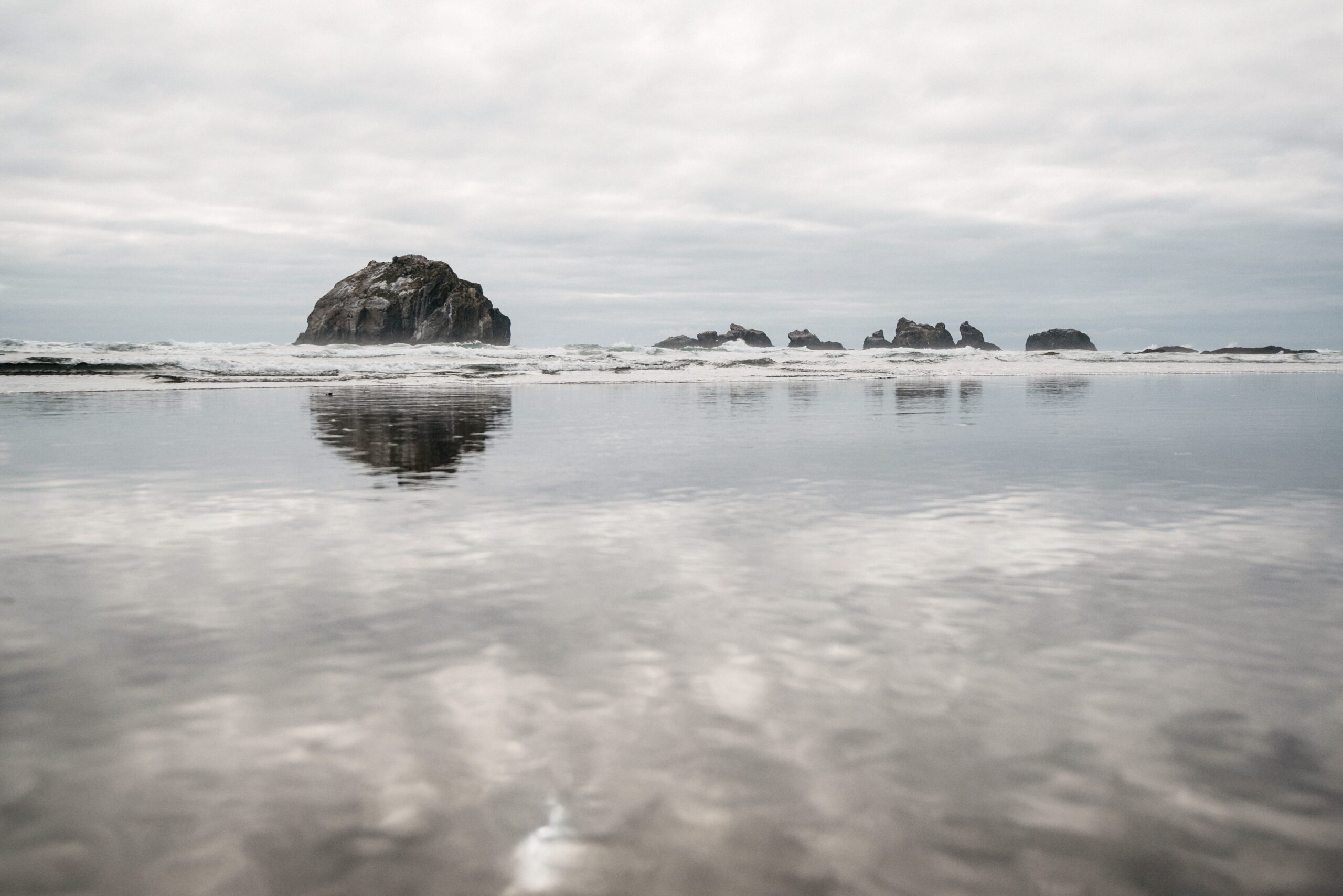
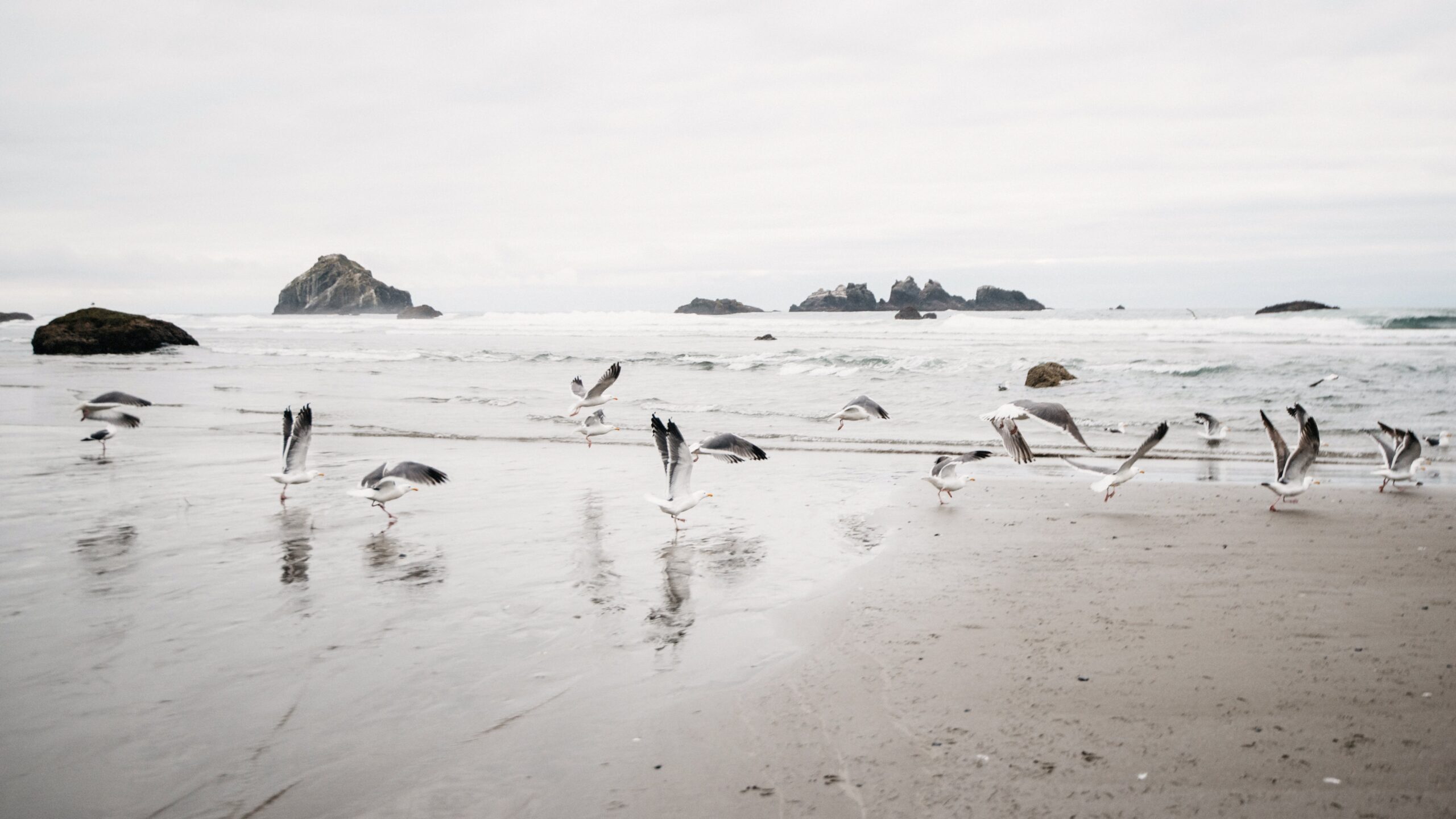
Back on the Pacific, the Beach Loop near Bandon passed sea stacks sometimes described as Oregon’s Twelve Apostles. We walked the beach rather than only stopping at viewpoints and watched the rocks appear and disappear in low cloud.
North to Yaquina Head
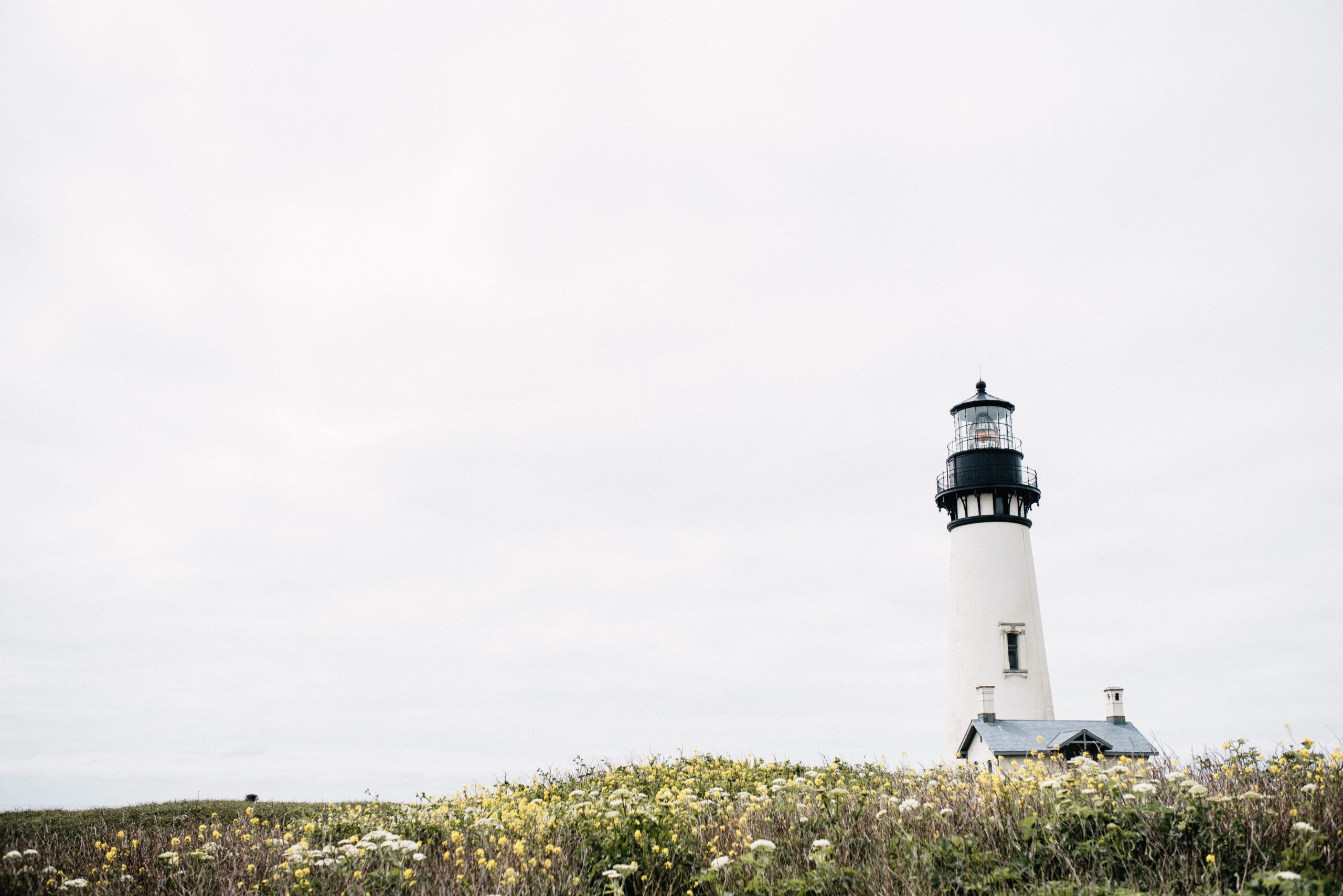
The final Oregon section continued past Cape Arago and smaller coastal stops towards Yaquina Head. Its lighthouse stood above another rough stretch of ocean, a useful marker that we were moving steadily north even when each beach looked worth another hour.
From there, Washington and Olympic National Park were next. The drive had already proved the original decision: we had not saved time, but after months of travelling, saving time was not what we needed from the route.
We cover our Highway 1 route south to Los Angeles in a separate report.