
In three days our route moved between two landscapes that both looked almost too large to understand. At the Grand Canyon we stood on the South Rim, watched the light disappear and walked down Bright Angel Trail. In Death Valley we crossed salt, coloured hills and dunes in the heat.
The Grand Canyon deserved two nights because seeing it only from the rim would have left the scale abstract. Death Valley worked as a half-day drive on our way towards Yosemite, with short walks replacing a long hike.
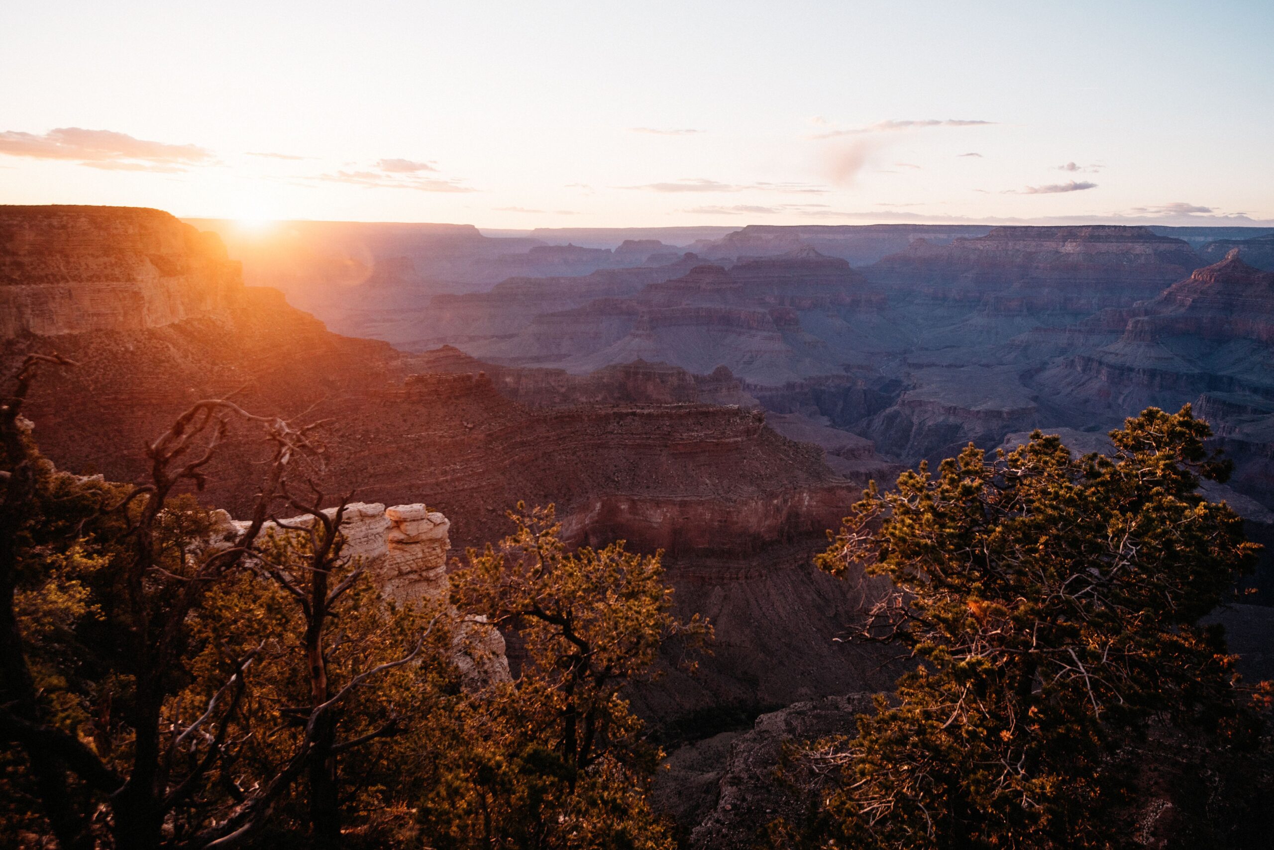
Sunset at the Grand Canyon South Rim
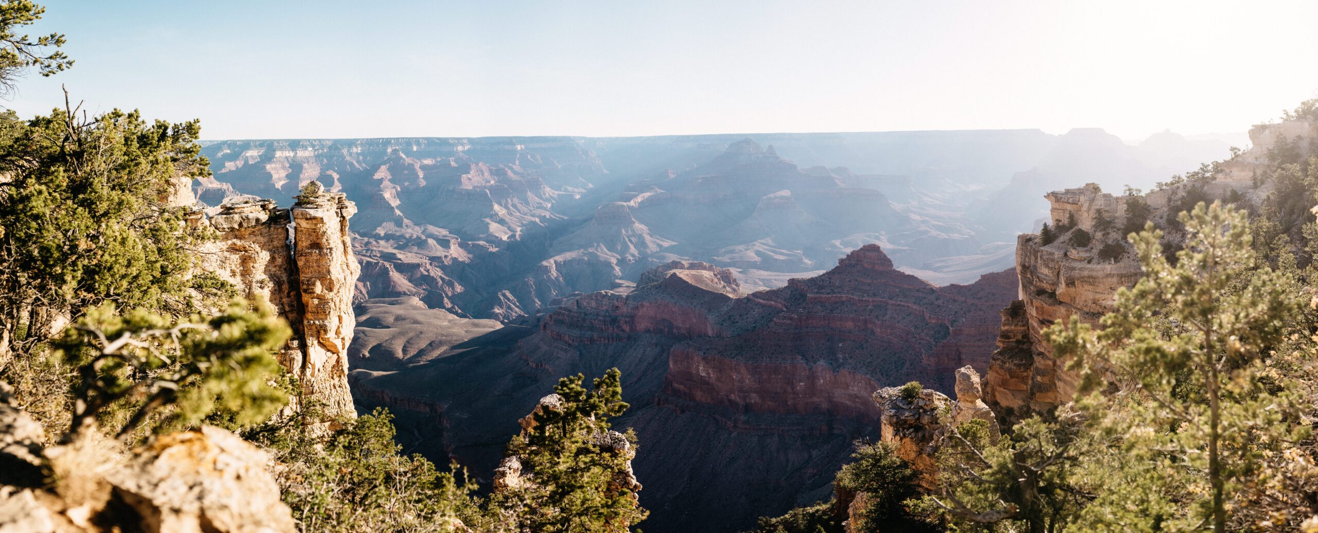
We stayed at Mather Campground on the South Rim for two nights. The free shuttle connected the main viewpoints and Grand Canyon Village, which meant we could leave the car at the campsite instead of searching for another parking place at every stop.
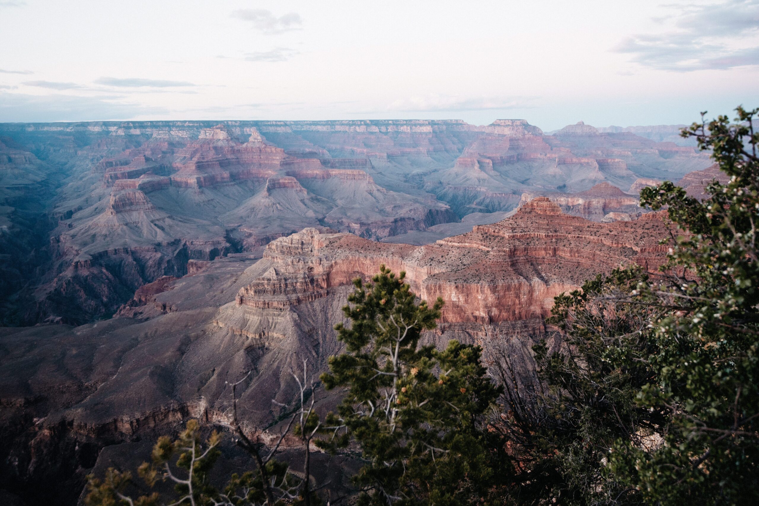

At sunset, the canyon changed by the minute. Shadows filled the lower layers first while the higher walls kept the colour. No single photograph showed the distance properly, but we took plenty of them anyway.
Wildlife around the rim
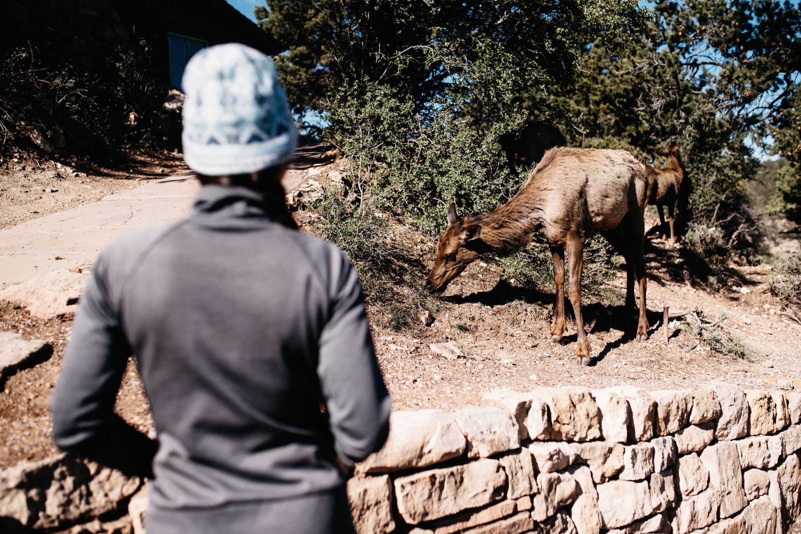
The forest around the South Rim felt cool and unexpectedly green after the desert parks. Elk moved close to the paths and campsites with little interest in the visitors watching them. We kept our distance and let them continue through the trees.
Down Bright Angel Trail
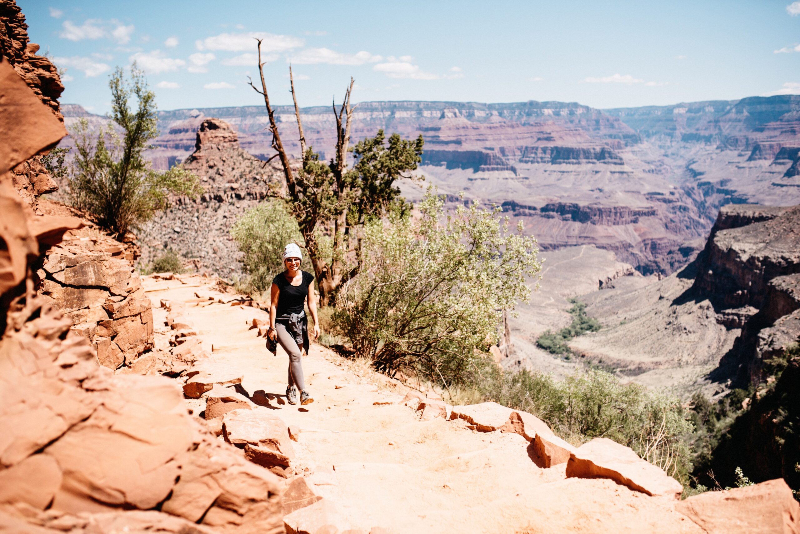
Bright Angel Trail was our way of moving beyond the viewpoints. The path descended below the rim in long switchbacks, opening new layers of the canyon with every turn. Going down felt easy enough to encourage bad decisions, while the climb waiting on the return stayed visible above us.
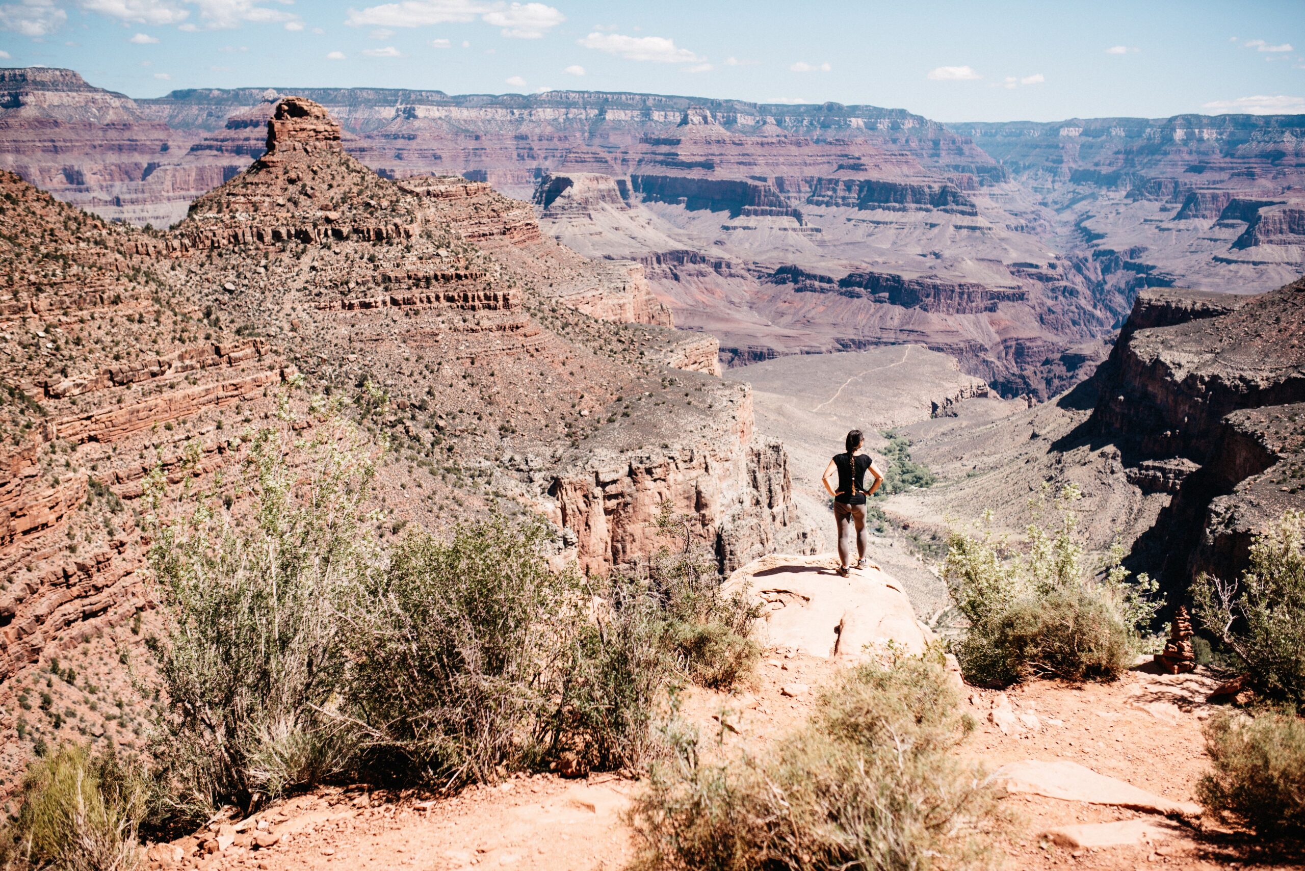
We did not attempt to reach the river and return in one day. We walked far enough to leave the busiest section behind, stopped in the shade and then turned around while the climb still felt manageable. The return confirmed the usual canyon rule: every comfortable metre downhill had to be earned again uphill.
From the rim to Death Valley
From the Grand Canyon we continued to Death Valley for the next night. The park sat below sea level between long mountain ranges and reduced the landscape to three obvious qualities: dry, hot and low.
Extended hikes made little sense in the heat, so we treated the park as a scenic route with several short walks. Half a day was enough for the major stops we had chosen, although the driving distances inside the park remained larger than the list suggested.
Zabriskie Point and Furnace Creek
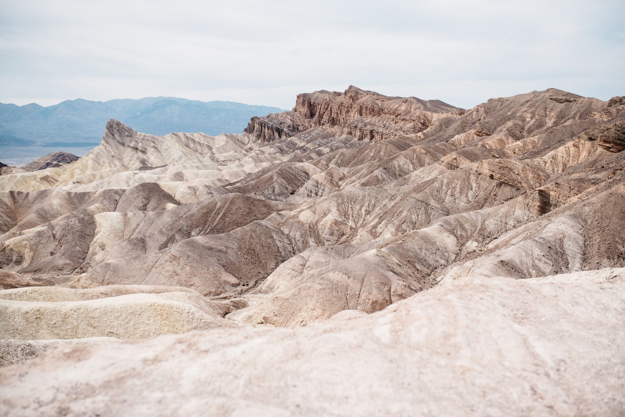
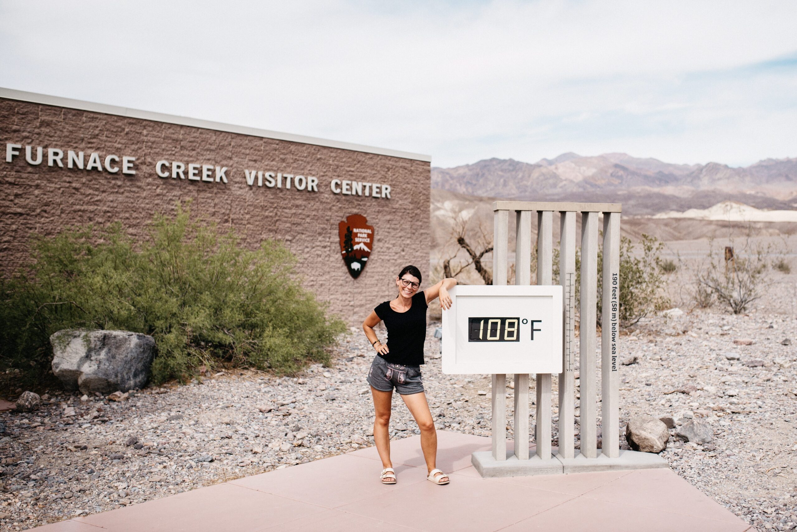
Zabriskie Point introduced the folded, almost colourless badlands. The ridges looked soft from a distance and completely dry up close. At Furnace Creek, the visitor centre provided the map, current conditions and a temperature display that made the name feel appropriately chosen.
Badwater Basin below sea level
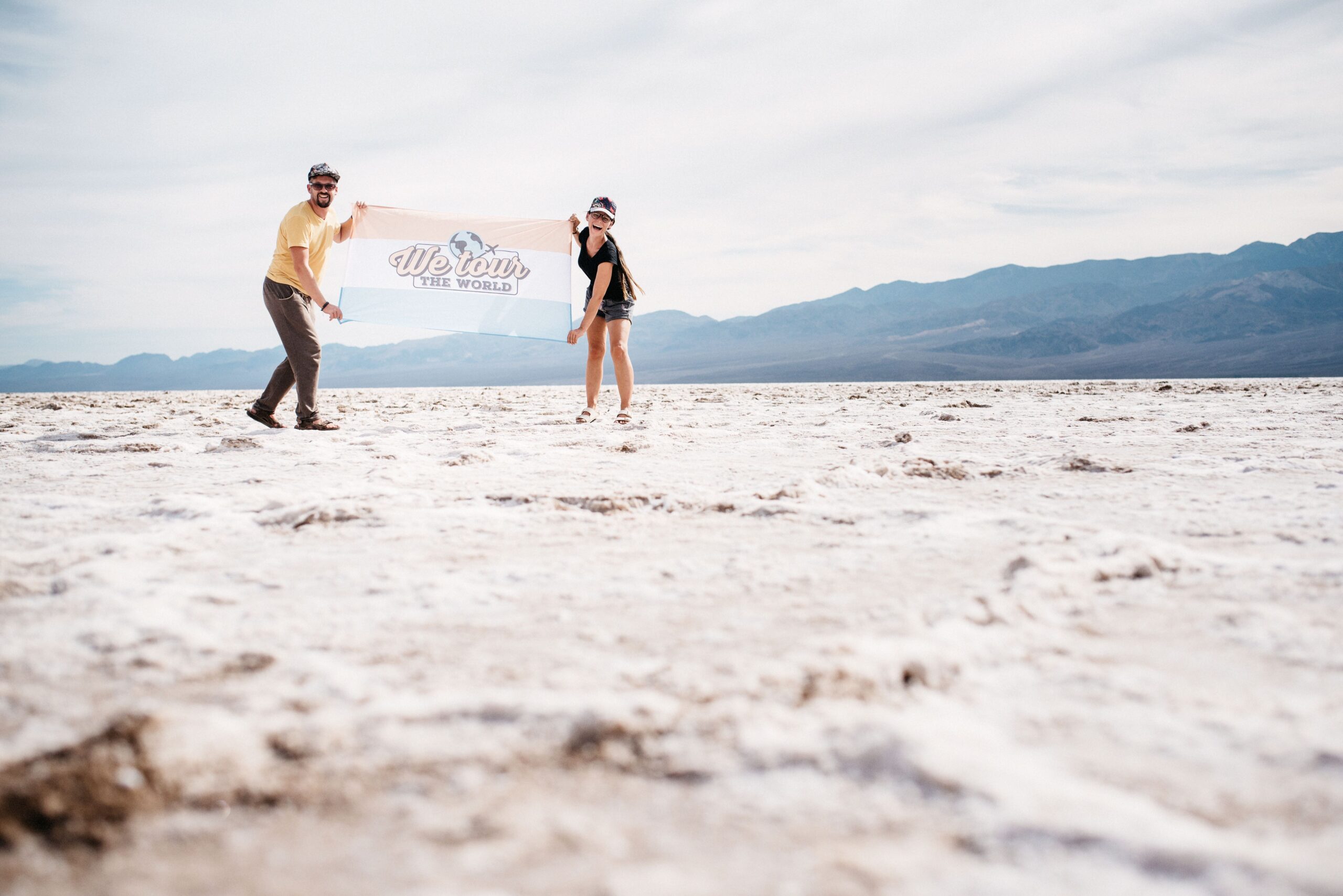
Badwater Basin was the lowest point of the route. A crust of salt stretched across the valley floor with the mountains rising on both sides. We carried the travel flag onto the white surface and discovered that even a short walk felt much longer without shade.
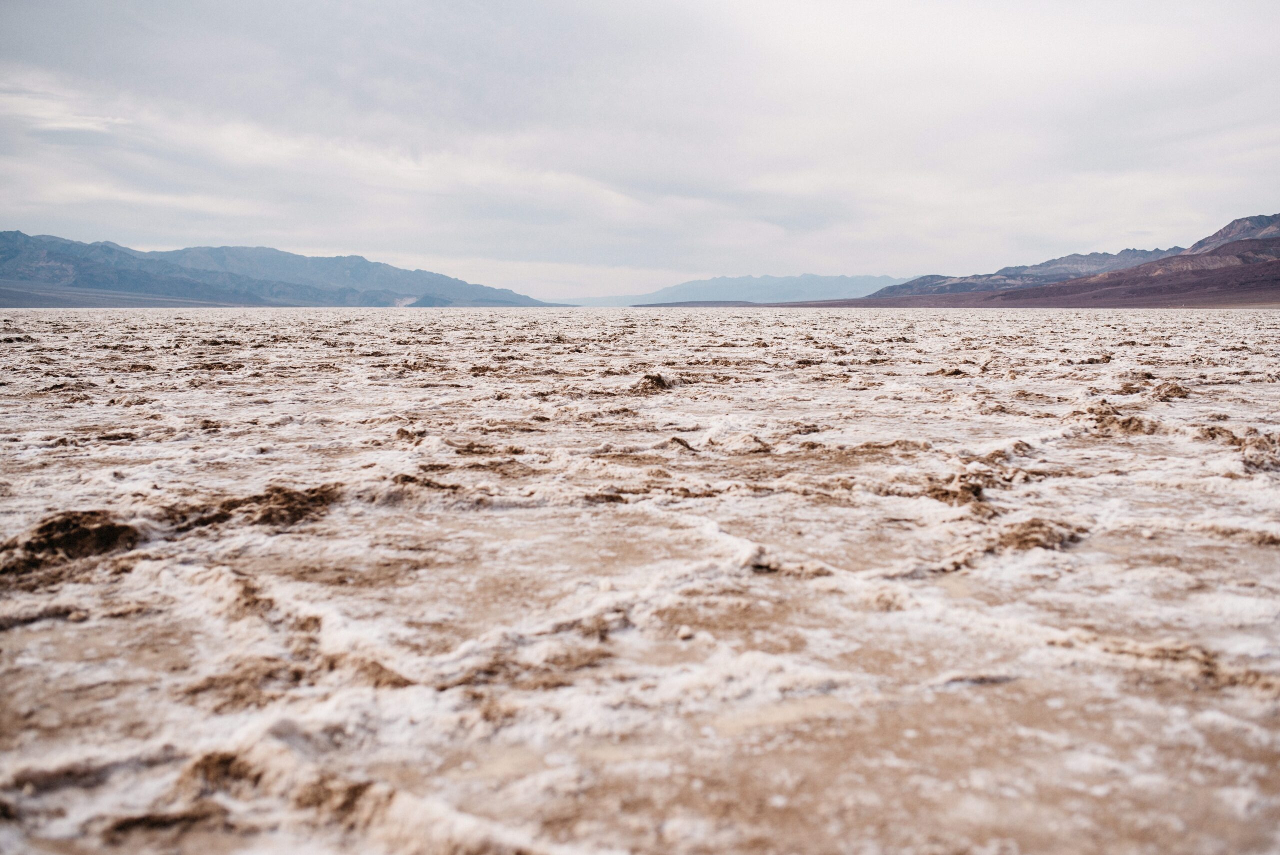
From the basin, the road looked tiny against the surrounding emptiness. Death Valley was a drive-through park for us, but driving through did not mean there was nothing to see between stops.
Artist’s Drive and the coloured hills
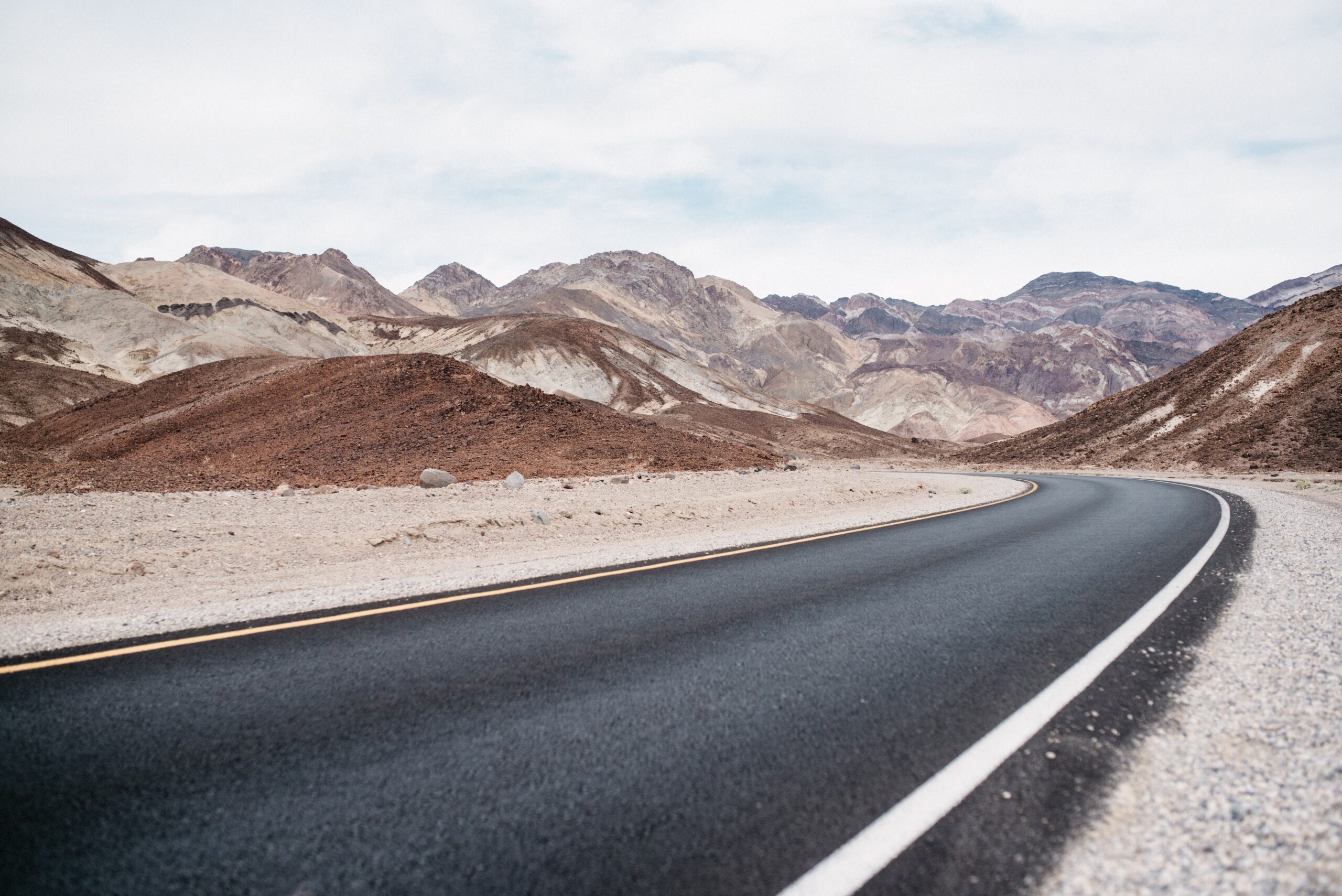
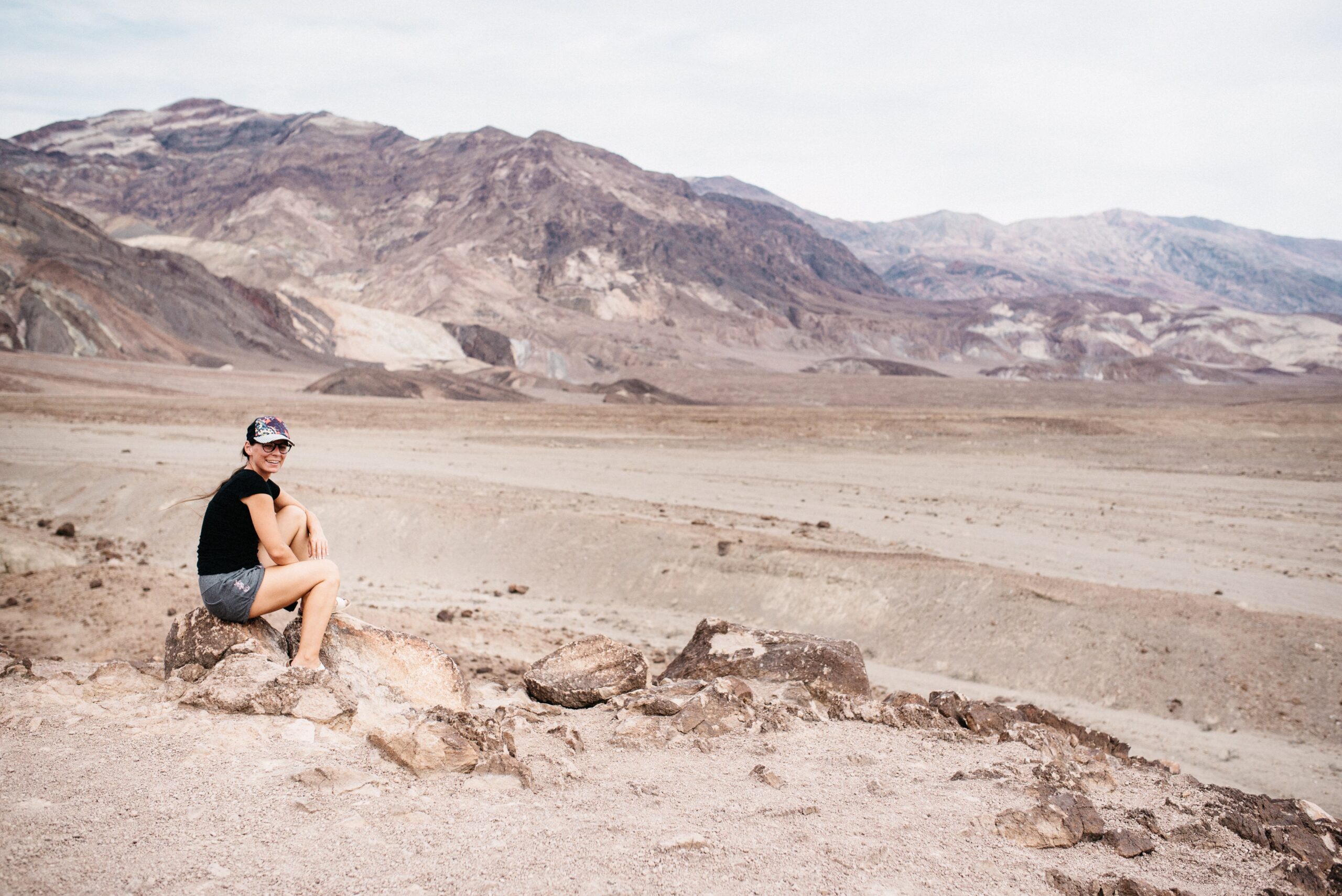
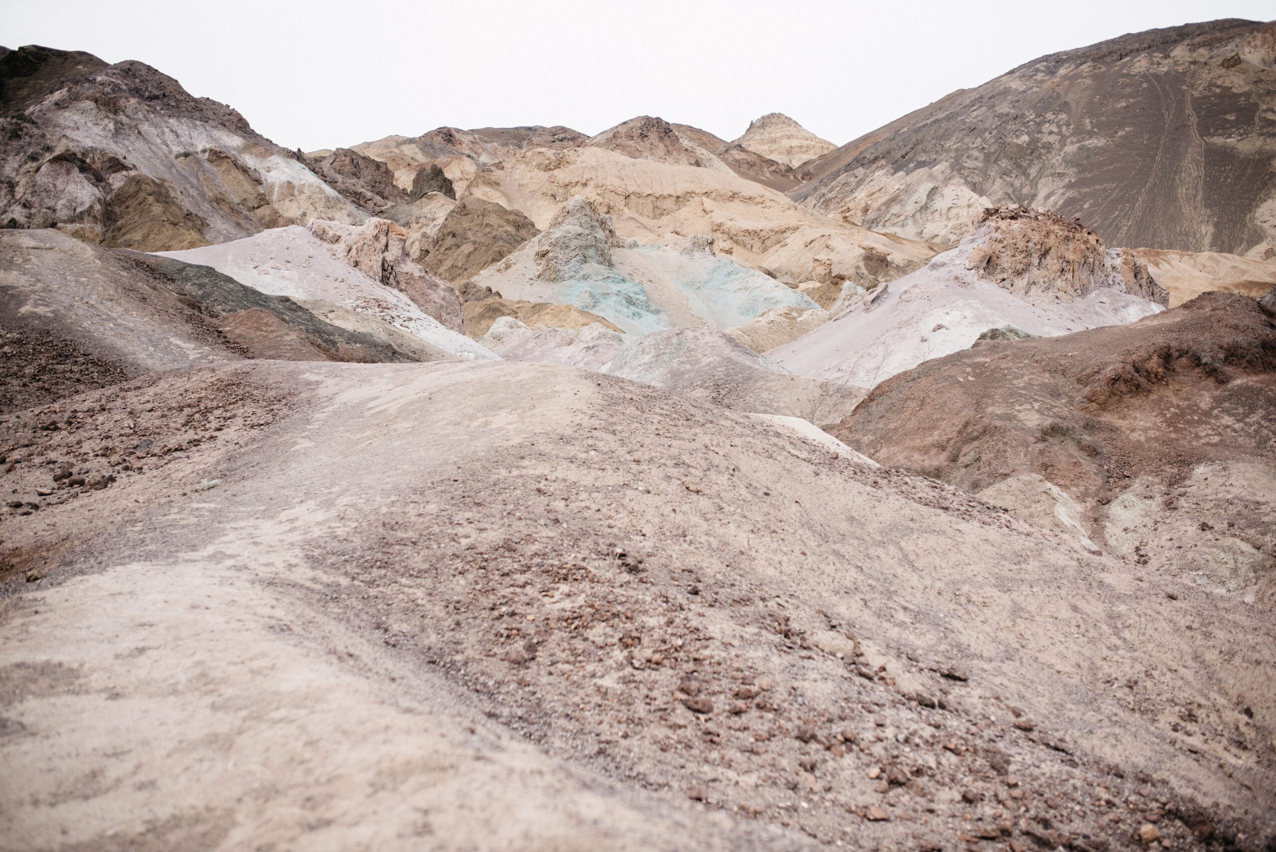
Artist’s Drive added colours we had not expected from a place described mainly as brown and empty. Mineral deposits created patches of green, pink and pale blue among the rock. The one-way road curved close to the hills and made the landscape feel much more compact than Badwater.
Sunset at Mesquite Flat Sand Dunes
We finished at Mesquite Flat Sand Dunes. The dunes were not far from the road, but walking towards the higher ridges meant repeatedly losing height and climbing again. Footprints covered the first section; further out, wind had returned parts of the sand to a clean surface.
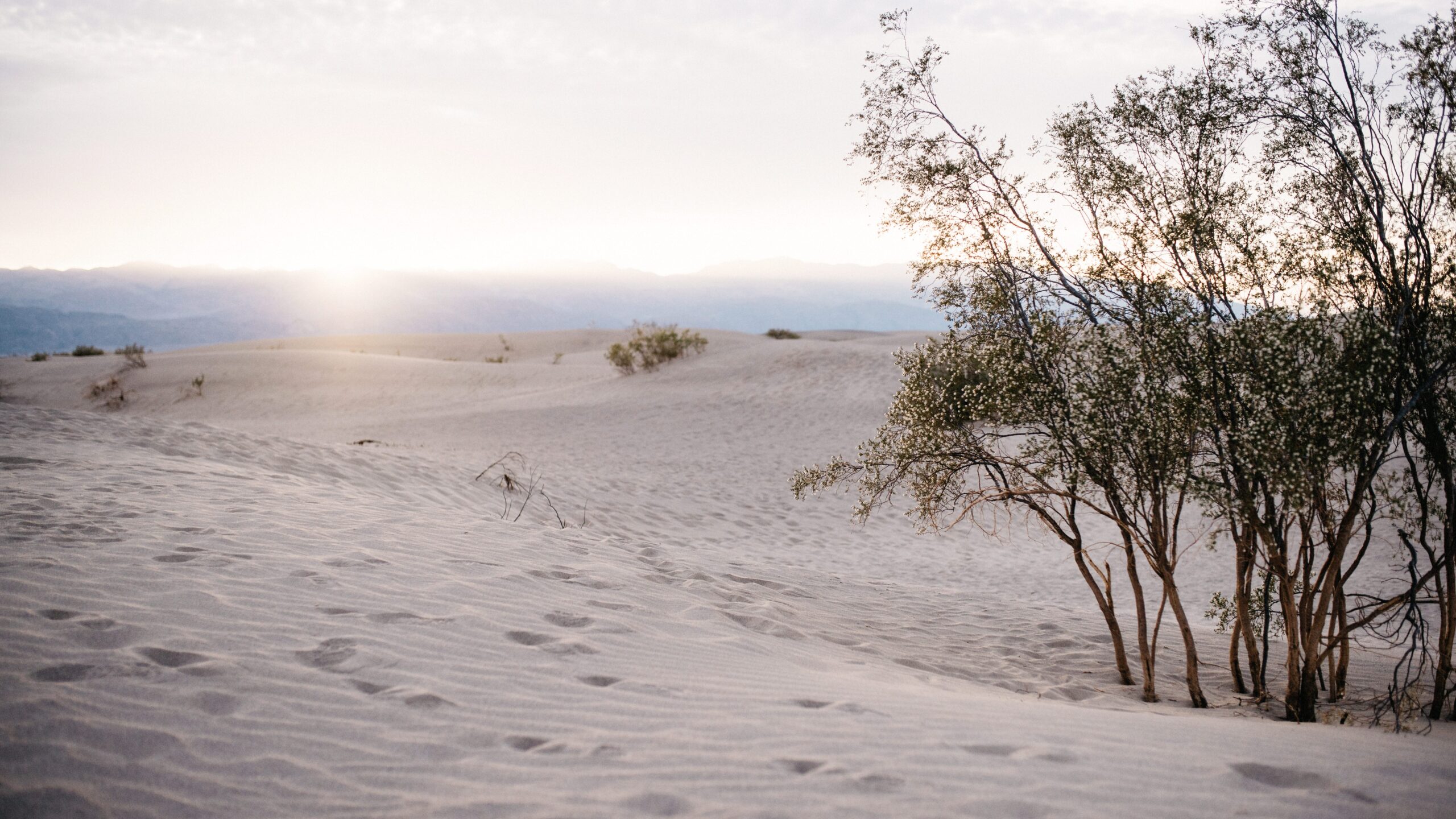
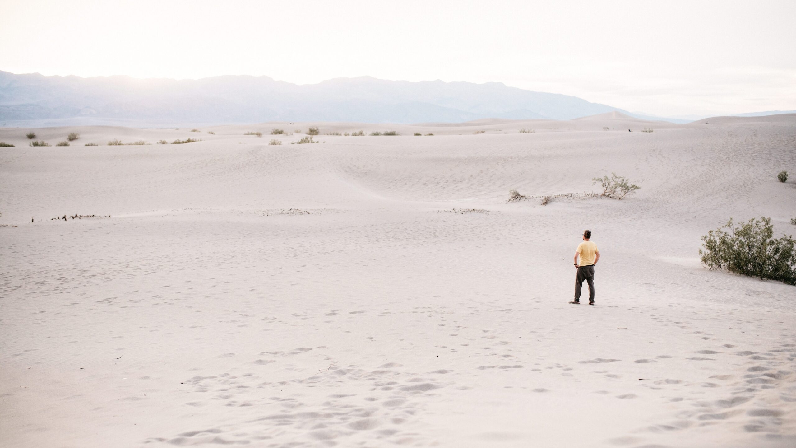

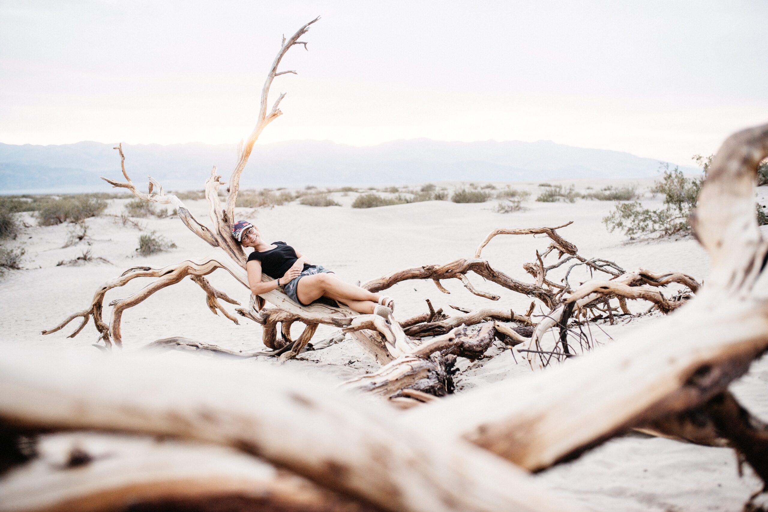
The low evening light created long shadows and turned dry branches into useful places to stop. It became one of our favourite sunsets in the United States, quieter than the Grand Canyon and visually the complete opposite of the salt basin from earlier that day.

Camping before the long Yosemite detour
We slept at the free Wildrose campsite and continued towards Yosemite the next morning. Tioga Pass was still closed, so the apparently nearby next park required an eight-hour detour around the mountains. Death Valley ended with one more reminder that roads on a map did not necessarily exist in the season we wanted them.
We cover Antelope Canyon and Horseshoe Bend near Page in a separate report.