
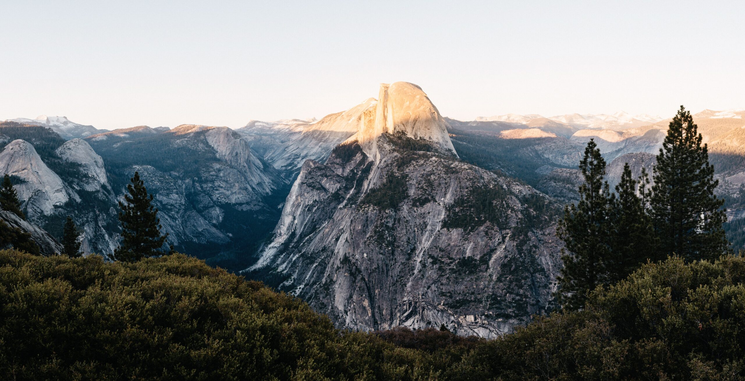
We reached Yosemite from Death Valley at the beginning of May, which sounded much easier on a map than it was in reality. Tioga Pass was still closed, so instead of driving straight across the mountains we had to go all the way around via Fresno. Eight hours later, we finally entered the park near Wawona.
The long way in was forgotten rather quickly. Yosemite Valley, its granite walls and the waterfalls pouring down between them looked exactly as impressive as we had hoped. We had two days and wanted to use one for a long hike, one for a shorter hike and the evening in between for sunset at Glacier Point.
Two days were the minimum we would plan for Yosemite. In 2018 the entrance fee was USD 30 per car for seven days, and the America the Beautiful pass was accepted. Depending on the entrance, Wawona or Yosemite Village provided the nearest visitor centre.
The long way into Yosemite
Yosemite can be entered from several directions, but the useful route depends heavily on the season. Tioga Road from the east often stays closed well into spring. That was exactly what happened to us. Coming from Death Valley, the closure added hours to the drive and brought us into the park from the south instead.
From San Francisco, Highway 140 enters near El Portal and passes through the famous rock arch. Our detour via Fresno used Highway 41 and Wawona instead. The tiny village had a visitor centre and a petrol station, both useful after such a long approach.
We filled the tank before going further. The distances inside Yosemite are easy to underestimate, especially when a viewpoint, trailhead or campground sits in a completely different part of the park.
Upper Yosemite Falls: our favourite hike
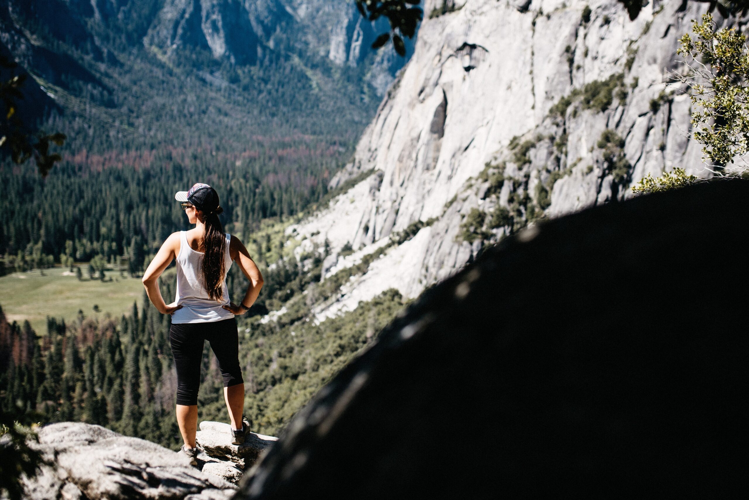
Our favourite hike was the trail to Upper Yosemite Falls and Yosemite Point. It was also the most strenuous thing we did in the park. The first section climbed steeply through the forest and offered very little in return. We simply gained height, turn after turn, and waited for the views to begin.
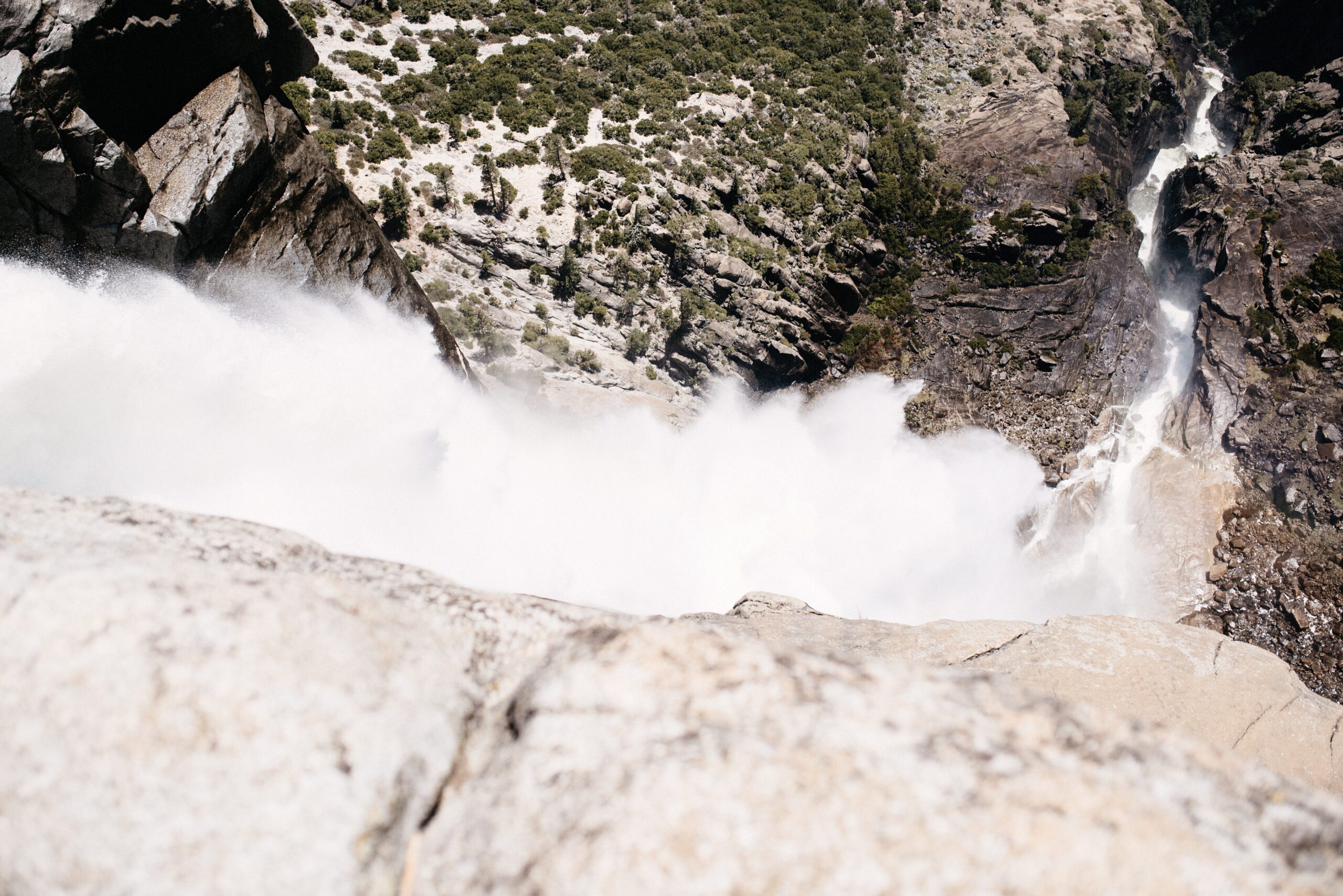
Once the forest opened, we finally saw Upper Yosemite Falls properly. We had already visited Niagara, Victoria and Iguazu Falls on this trip, so comparing waterfalls by size no longer made much sense. Yosemite was different anyway. The water seemed to fall straight out of the granite, and the spray created rainbows whenever the light was right.
The final climb above the waterfall
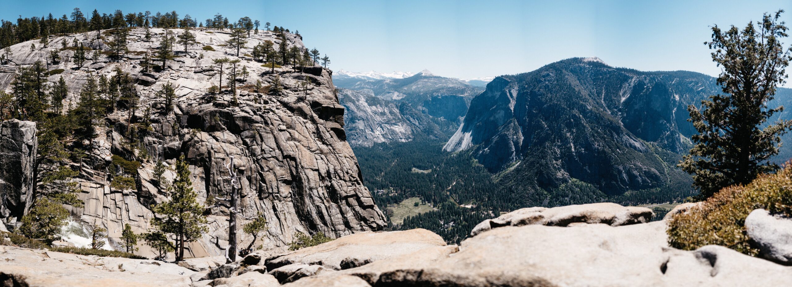
The last section was the hard one: roughly three kilometres over rocks, stone steps and steep switchbacks. At the top, the trail did not provide the classic view of the waterfall because we were sitting almost directly above it. Instead, the ground dropped vertically towards Yosemite Village.

We found a rock near the edge, unpacked our lunch and watched the valley below. Then we noticed people continuing higher up. We were fairly sure that they could see Half Dome from there, so after all those metres of climbing we added another half hour and followed them to Yosemite Point.
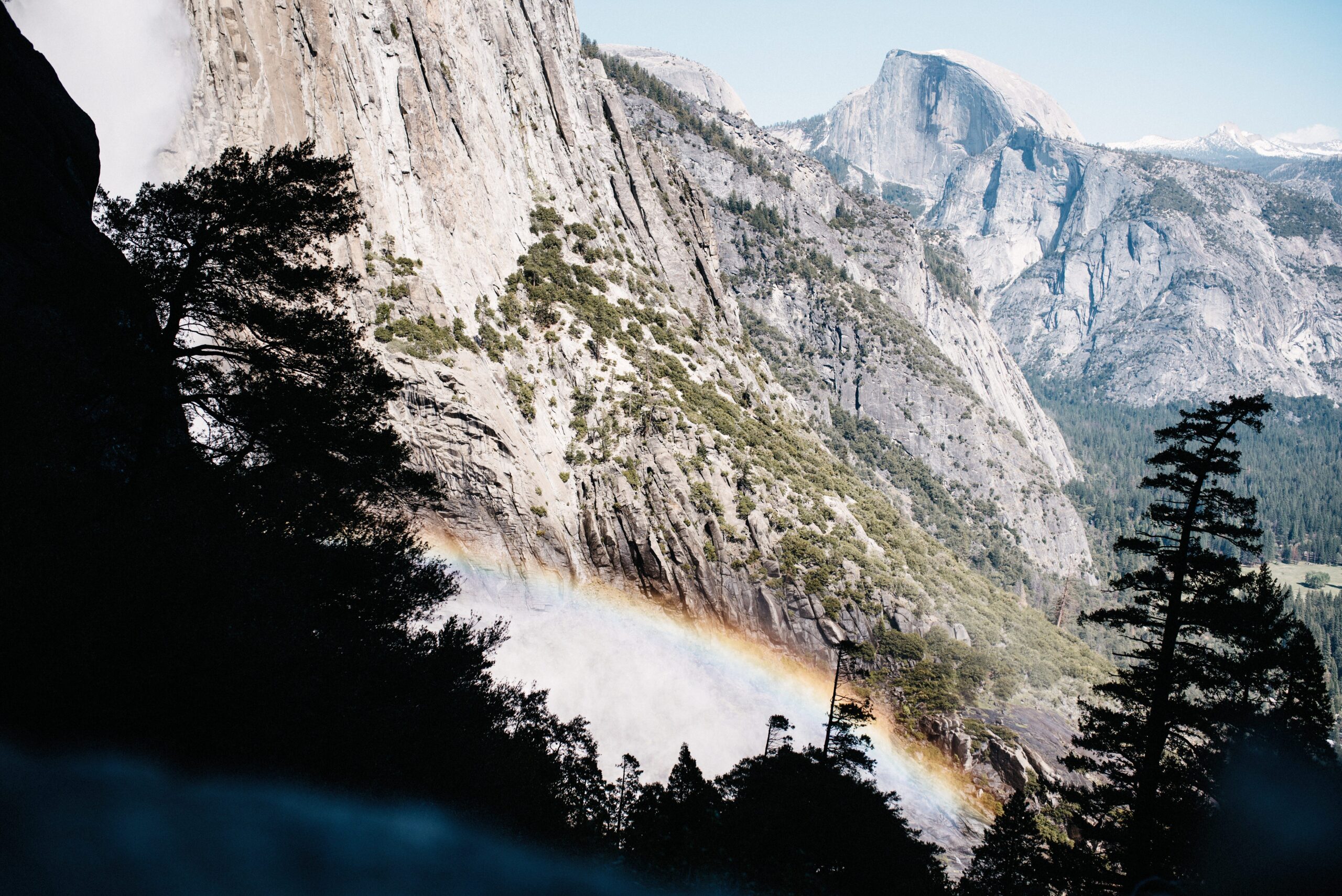

That small extension was absolutely worth it. Half Dome appeared across the valley and turned an already excellent hike into our favourite one in Yosemite. The descent felt endless, as descents over rocks and steps often do, but at least the perspective kept changing on the way down.
Upper Yosemite Falls itself could be heard much better than it could be seen from the top. Yosemite Point solved the other missing part of the panorama. It was only about 30 minutes farther, not especially strenuous after the main climb and delivered the clear Half Dome view we had expected to find.
Dinner and sunset at Glacier Point
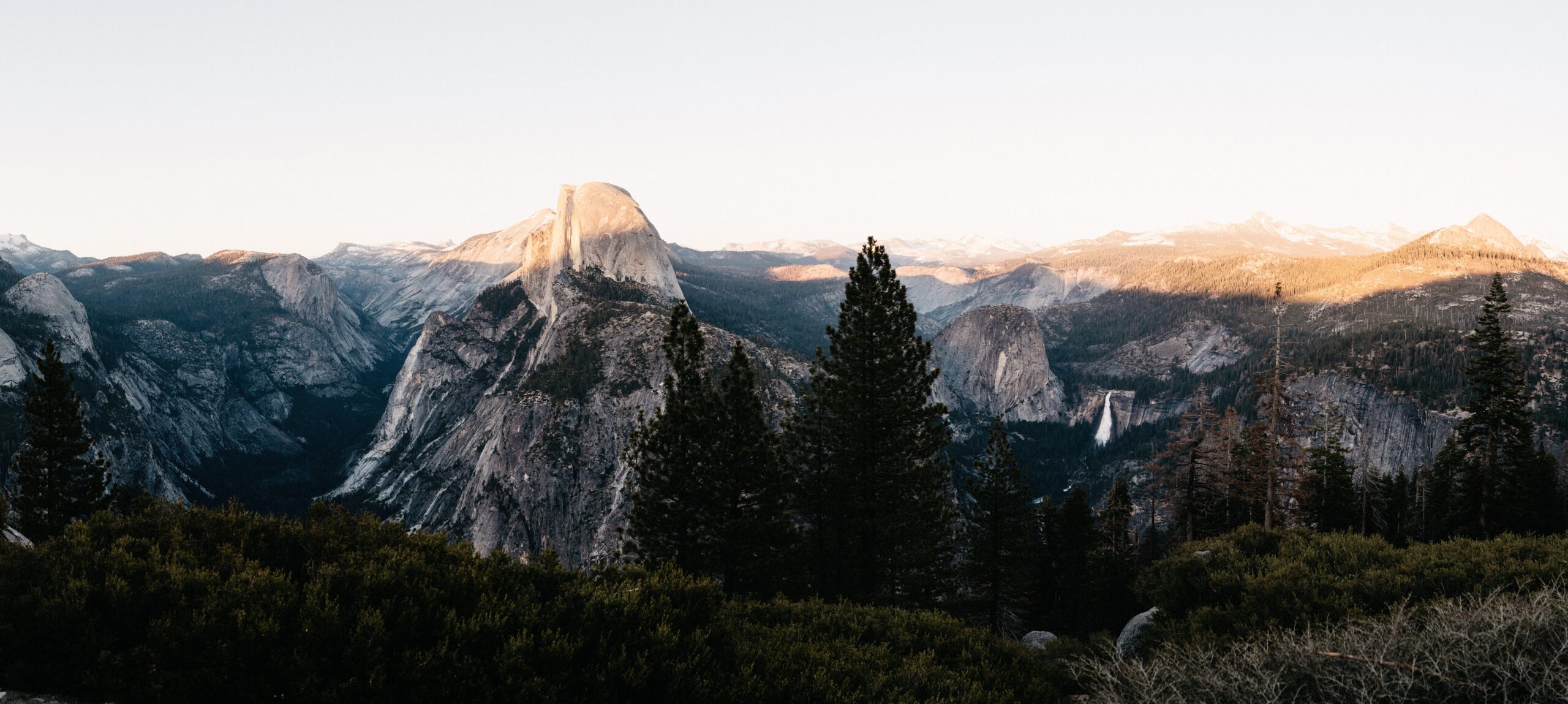
Glacier Point Road was open during our visit, so we drove up for sunset. After the long hike, driving to the viewpoint felt like a perfectly reasonable decision. We cooked our dinner at the amphitheatre and waited while the shadows slowly moved across the surrounding mountains.
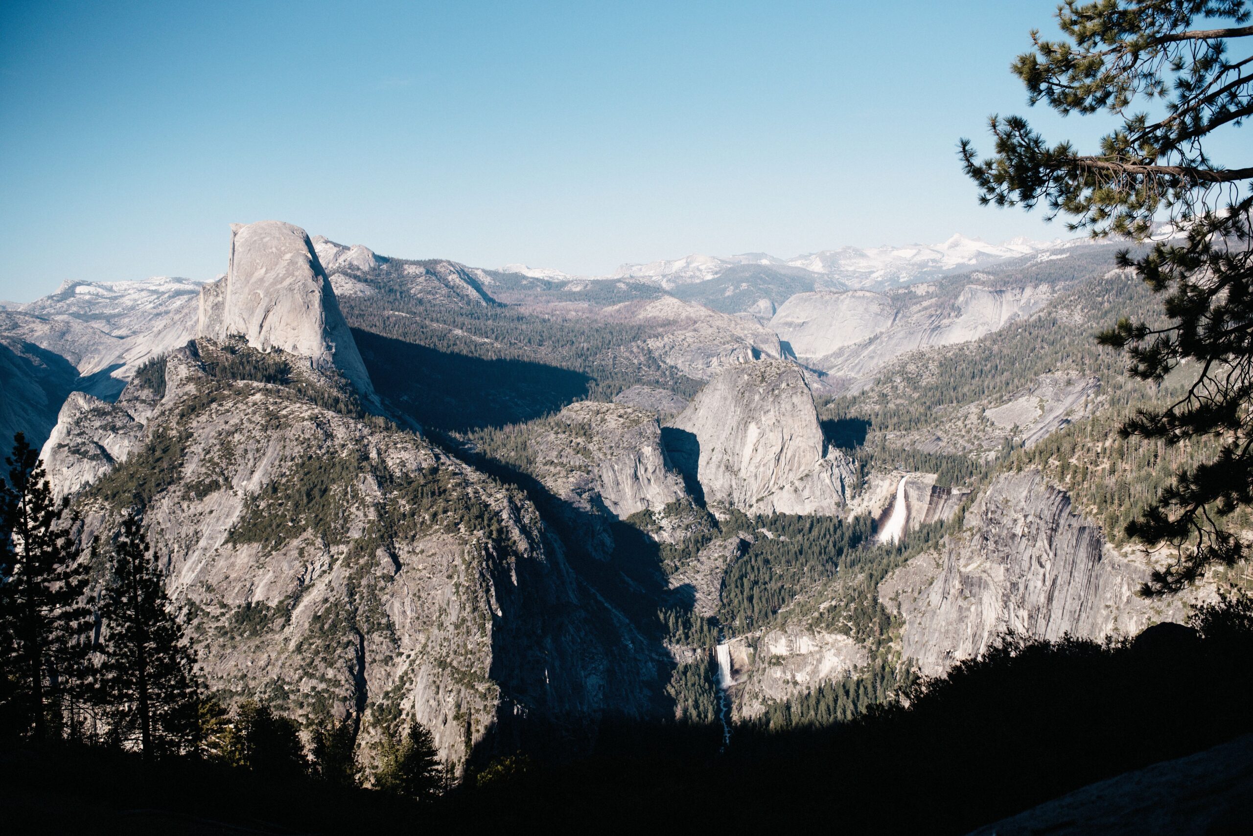
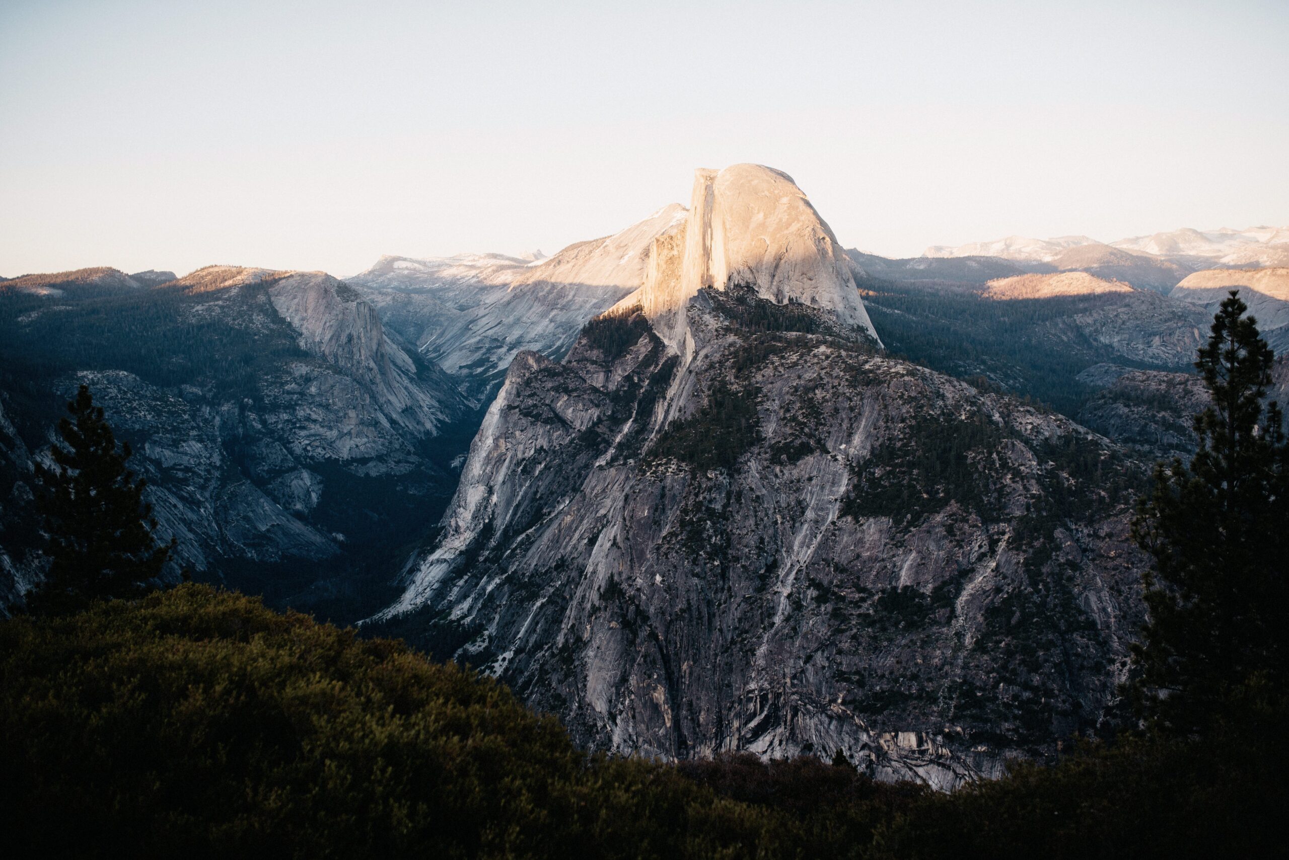
Half Dome remained in the light after most of the valley had already turned dark. For a short time, the rock glowed orange and red. It became one of the best sunsets we had seen on the entire trip, even though we shared it with plenty of other people.
Glacier Point could also be reached on foot, but we would still drive there and save the hiking time for a place inaccessible by road. The view was completely worth the drive, while a walking trail elsewhere usually meant fewer people and a more rewarding destination.
The important part was checking whether Glacier Point Road was open. Snow could keep it closed well into the season, just like Tioga Pass, and the current status was available online and at the visitor centres.
Tunnel View on the way into the valley
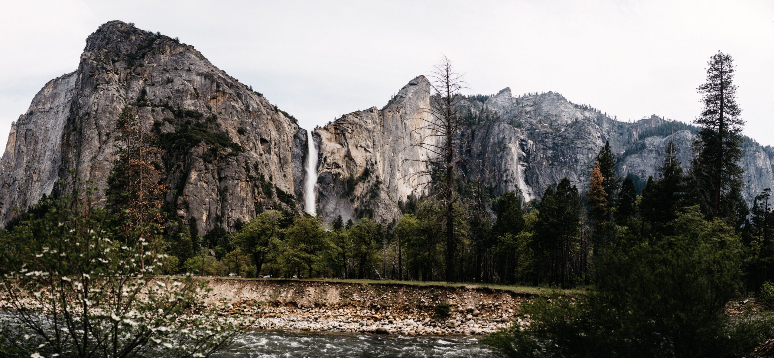
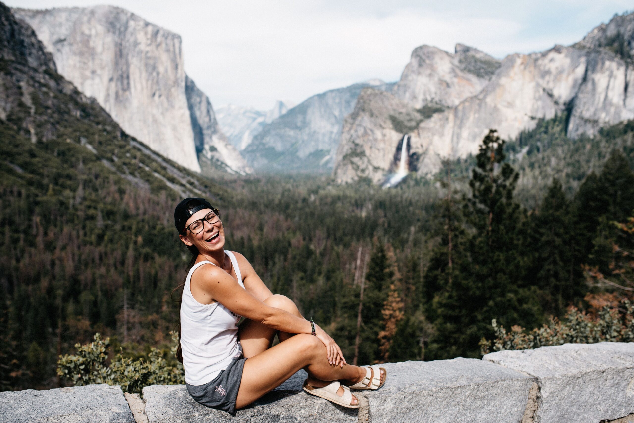
Coming from Wawona, the road passed Tunnel View before descending into Yosemite Valley. It was the familiar panorama with El Capitan, Half Dome and Bridalveil Fall in one frame. The light was much better in the afternoon than it had been earlier in the day, so stopping twice did not feel excessive.
Our very wet Mist Trail attempt
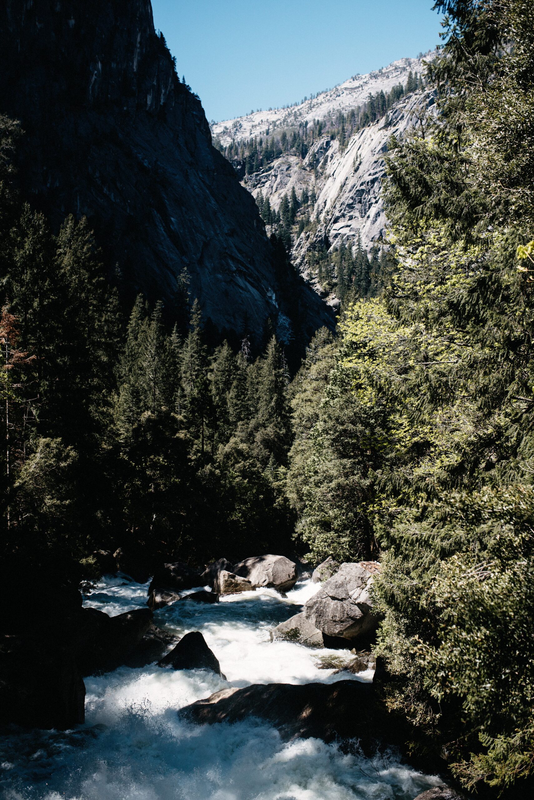
For our second day, the visitor centre recommended Vernal and Nevada Falls. There were two routes: the John Muir Trail through the forest or the Mist Trail beside the waterfall. Of course we chose the route beside the waterfall.
What we had not considered, and what nobody had mentioned to us, was that the Mist Trail was in fact very misty. Other hikers suddenly began pulling rain ponchos over their heads. We had no ponchos and decided to continue. Being a little wet did not sound like a problem.
Five minutes later we were soaking wet and had not even reached Vernal Fall. Through our wet glasses we could mainly see the rainbows forming in the spray. It was only early May and not warm enough to spend the rest of the hike in drenched clothes.

We did something we almost never did before reaching the top: we turned around. Our very obvious Yosemite advice therefore became simple. Bring a rain poncho for the Mist Trail. If you do not have one, use the John Muir Trail instead.
Camping outside the park
Yosemite had several campgrounds, but getting a place was difficult. We stayed on dispersed camping land in the national forest outside the park. It meant extra driving in the morning, but it gave us a quiet place to sleep without competing for one of the scarce sites in the valley.
The park included tent-only and mixed campgrounds, yet the reservation process was both competitive and annoying. For our flexible route, the national forest was the simpler option and allowed us to keep the two Yosemite days focused on the hikes rather than finding a legal place to park overnight.