
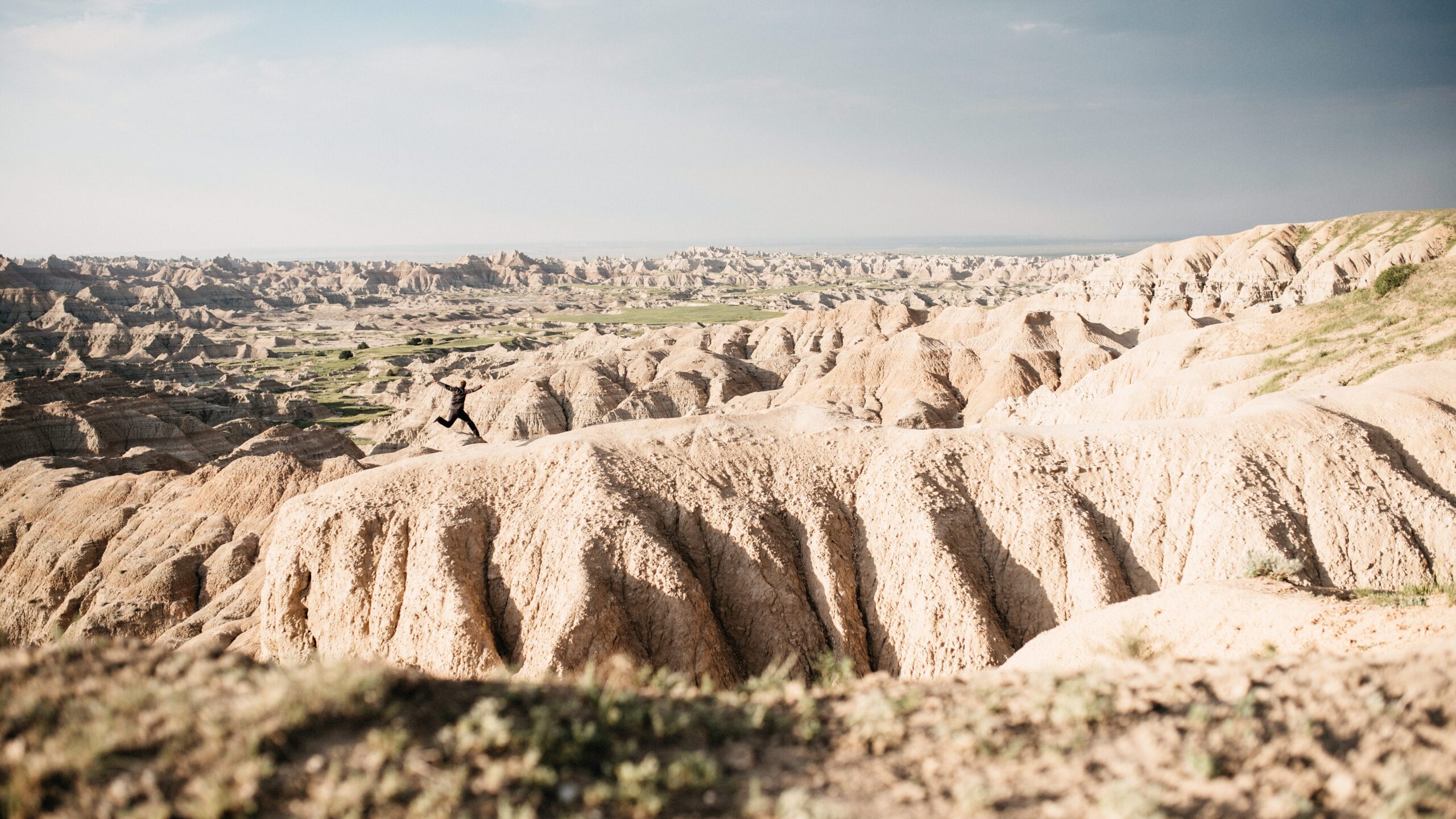
Mount Rushmore was one of those places we knew long before we ever thought about driving through South Dakota. What we did not expect was how much could fit around it: an underground start at Jewel Cave, bison beside the road, the strange formations of the Badlands and one campsite where the landscape did most of the talking.
Within a short distance we moved from a cave below the Black Hills to a monument carved into them, then out into open prairie and the eroded formations of Badlands National Park. It was one of those stretches where the landscape seemed to change every time we got back into the car.
The long road to Hot Springs
After Grand Teton we spent one practical night in Riverton and continued east across Wyoming to Hot Springs, South Dakota. This was no longer a route built around one national park. The following day already had several completely different places on it.
Hot Springs gave us a base near the southern Black Hills. From there we could reach Jewel Cave first and still continue to Mount Rushmore and the Badlands before the day was over.
Starting below ground at Jewel Cave
Jewel Cave became the underground beginning of the day. Instead of another wide road or open viewpoint, the first stop took us below the Black Hills before we returned to daylight and continued towards Mount Rushmore.
The visit also changed the rhythm of the route. For a while we were no longer looking across open landscapes or stopping at viewpoints. Then we returned to the surface and drove towards one of the most recognisable monuments in the country.
Mount Rushmore in daylight
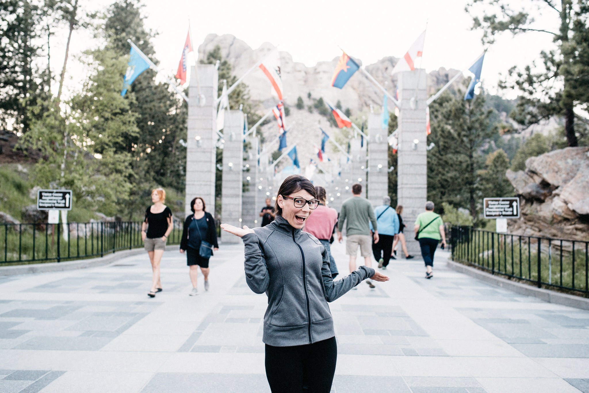
Mount Rushmore appeared above the trees before we reached Grand View Terrace. From close below, the four faces occupied much less of the mountain than the familiar photographs suggest. The terrace and the long approach framed the monument as carefully as the rock itself.
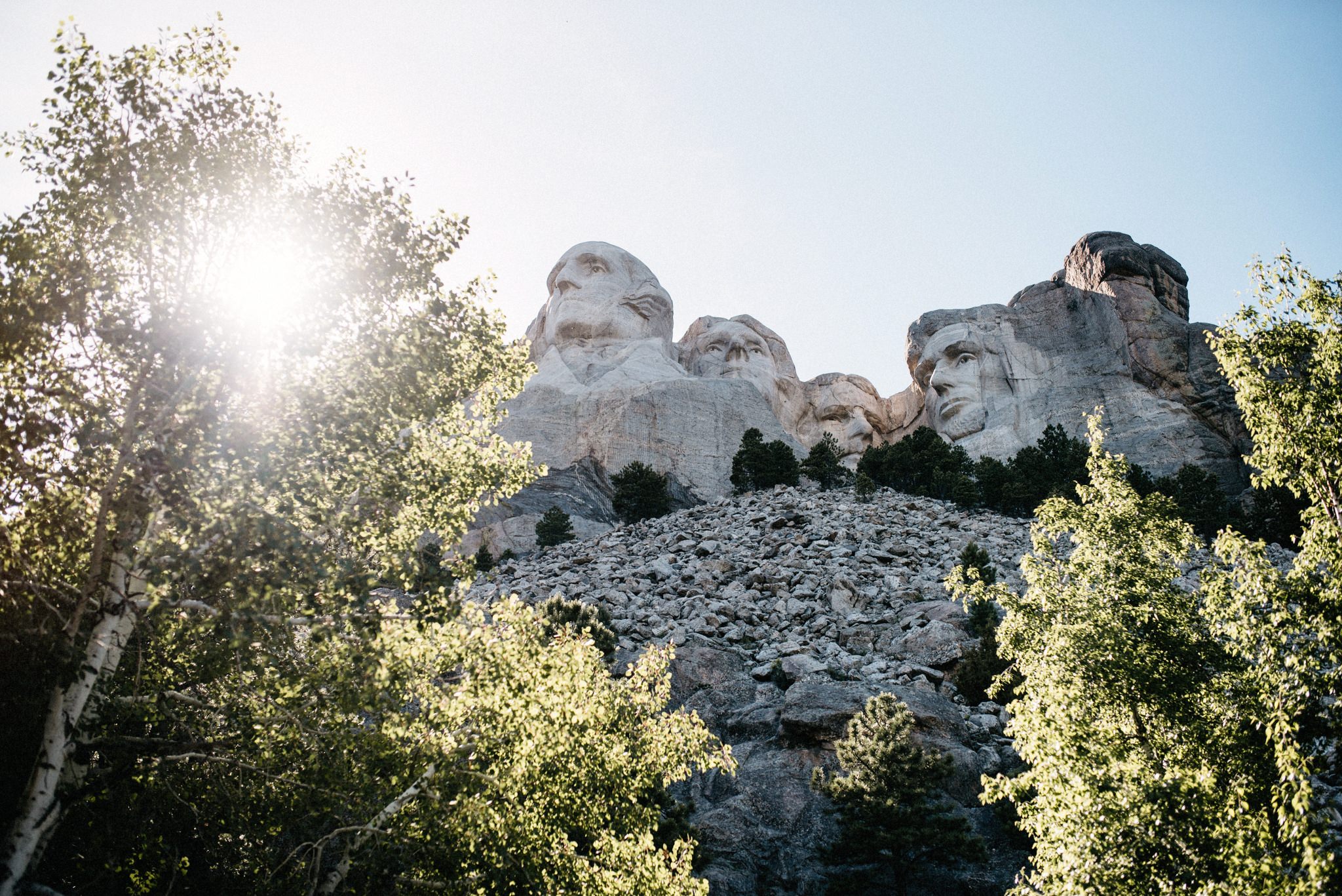
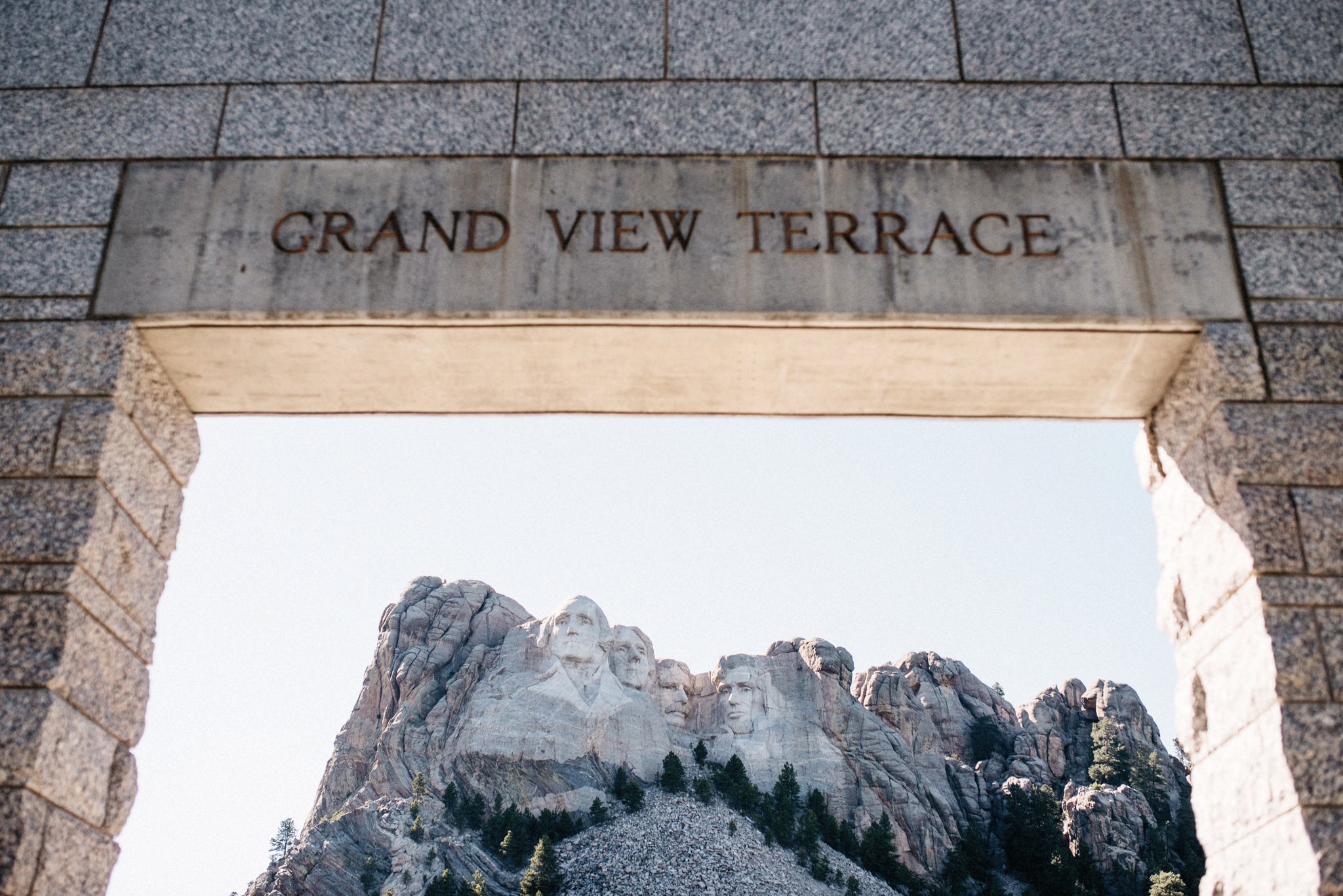
We arrived with enough daylight to walk through the main area and see the details in the granite. The monument itself was free to visit, but we paid for parking directly beside the visitor area.
Waiting for the lights
We stayed after sunset rather than leaving with the daytime visitors. As the light disappeared, the amphitheatre and visitor buildings became part of the scene and the mountain behind them almost vanished.
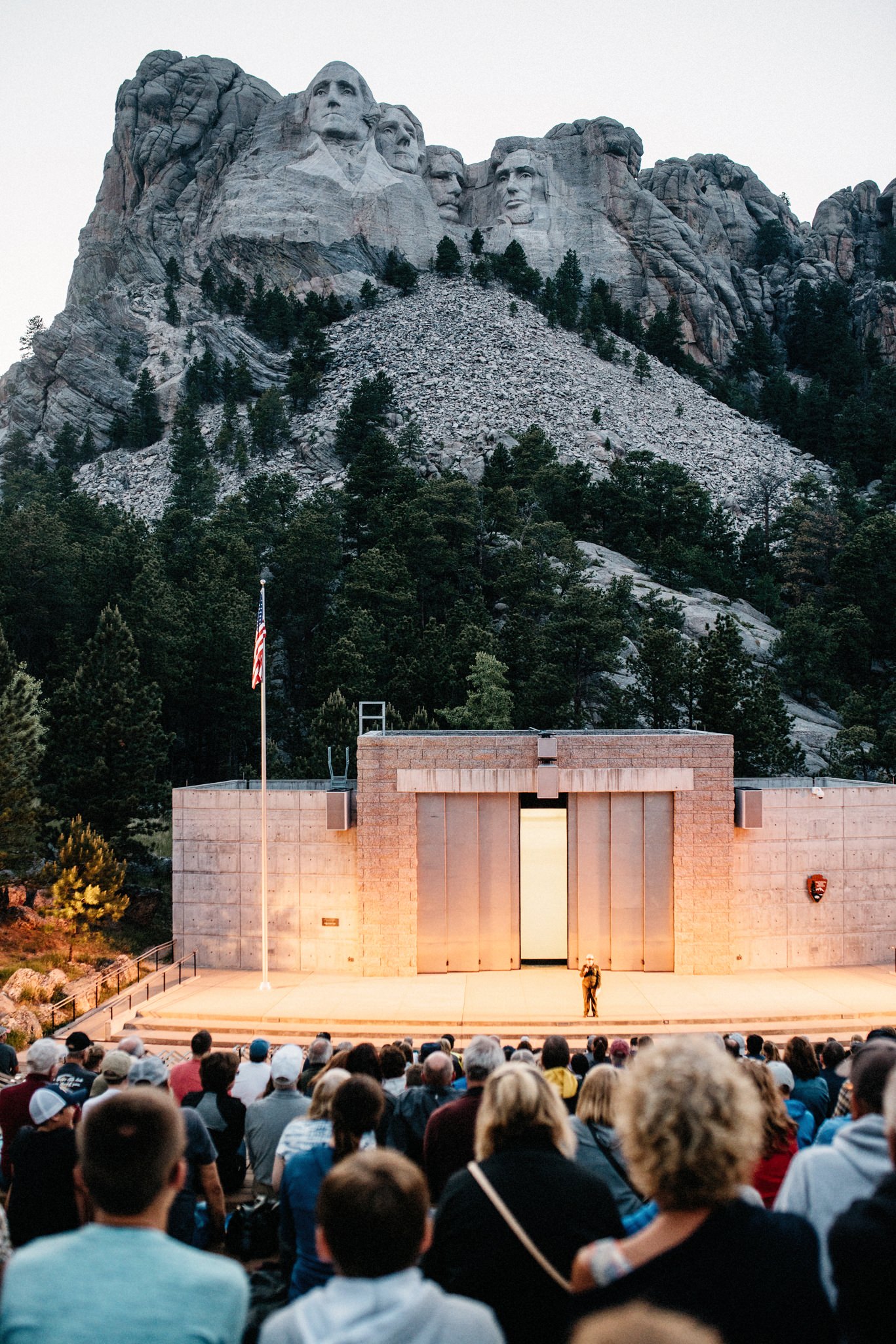
Once the monument was illuminated, the faces returned alone against the dark sky. It was the final photograph from the Black Hills before we drove east towards our campsite in the Badlands.

From the Black Hills into open prairie
The road changed quickly after Mount Rushmore. Forested hills gave way to grassland, long sightlines and the low evening sun. We had spent the day moving between scheduled stops; the drive towards the Badlands finally opened the landscape again.
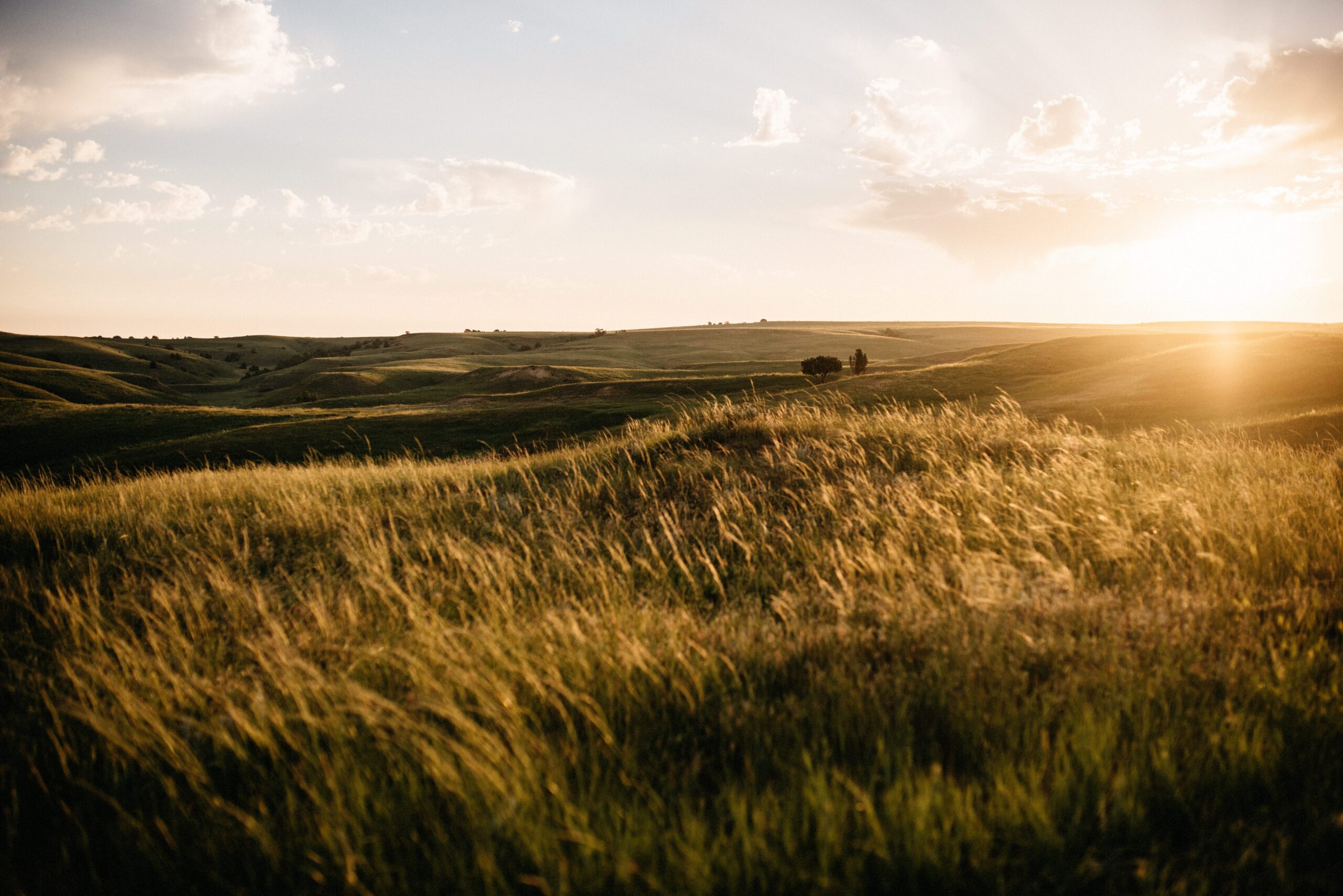
We slept in the car at a Badlands campsite. It was another free overnight stop on the journey and placed us directly beside the landscape we wanted to see the next morning.
Bison on the road
The first photographs from the Badlands section do not show rock at all. Bison stood on the gravel road with the prairie behind them and decided the speed of traffic for everybody else. We kept our distance and waited while they occupied the route.
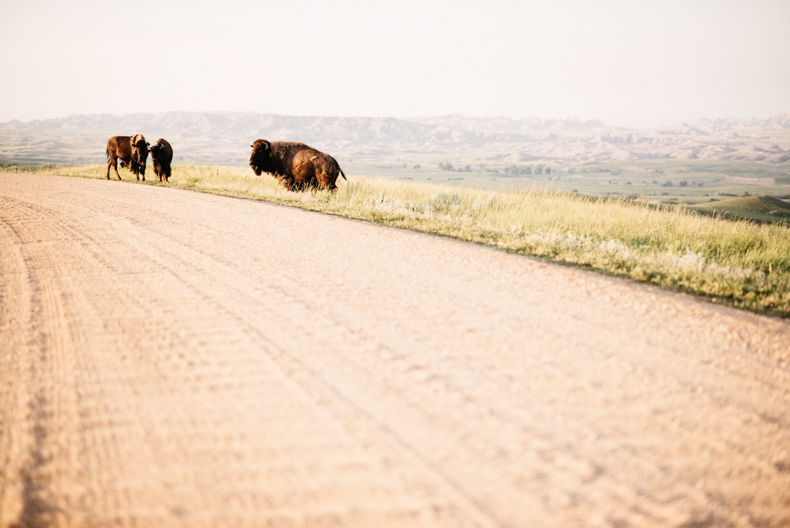
Beyond them, the ground began to break apart. Green folds of prairie ended at pale ridges and gullies, so the transition from grassland into the actual Badlands was visible rather than gradual.

Walking between the Badlands ridges
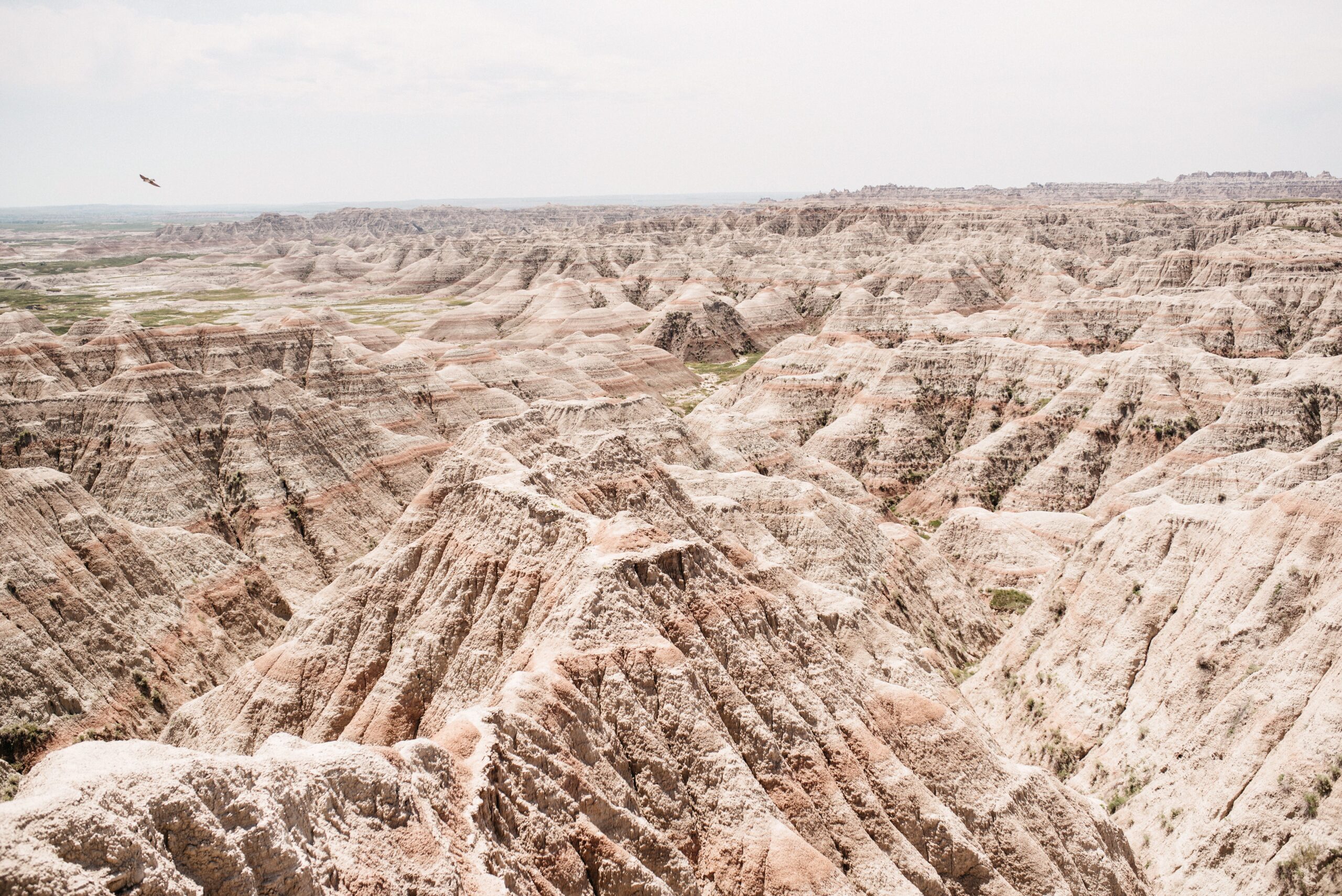
The formations looked soft from a distance and much sharper once we walked between them. Bands of colour ran through the rock, narrow ridges dropped into dry channels and almost every higher point opened another view across the park.
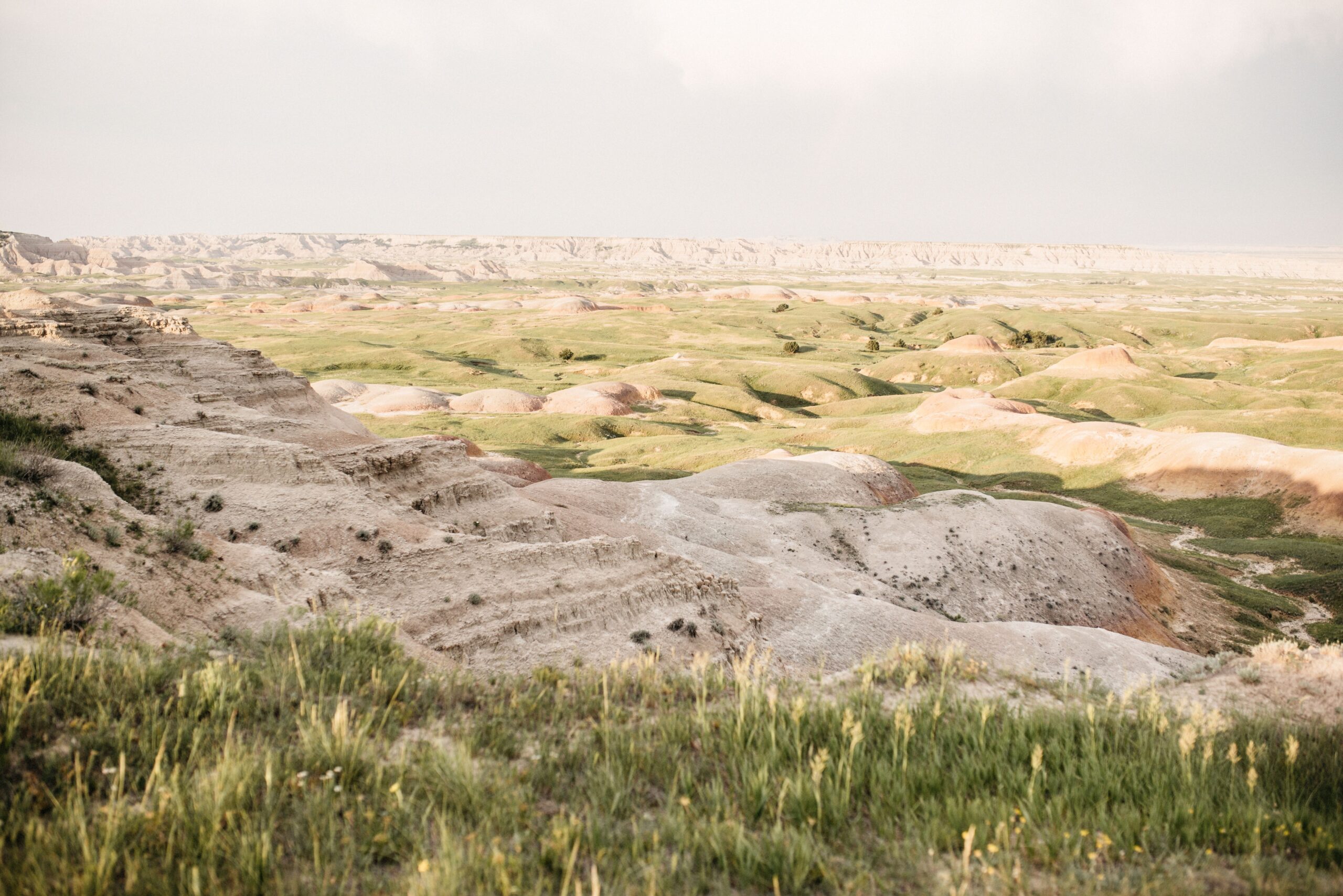
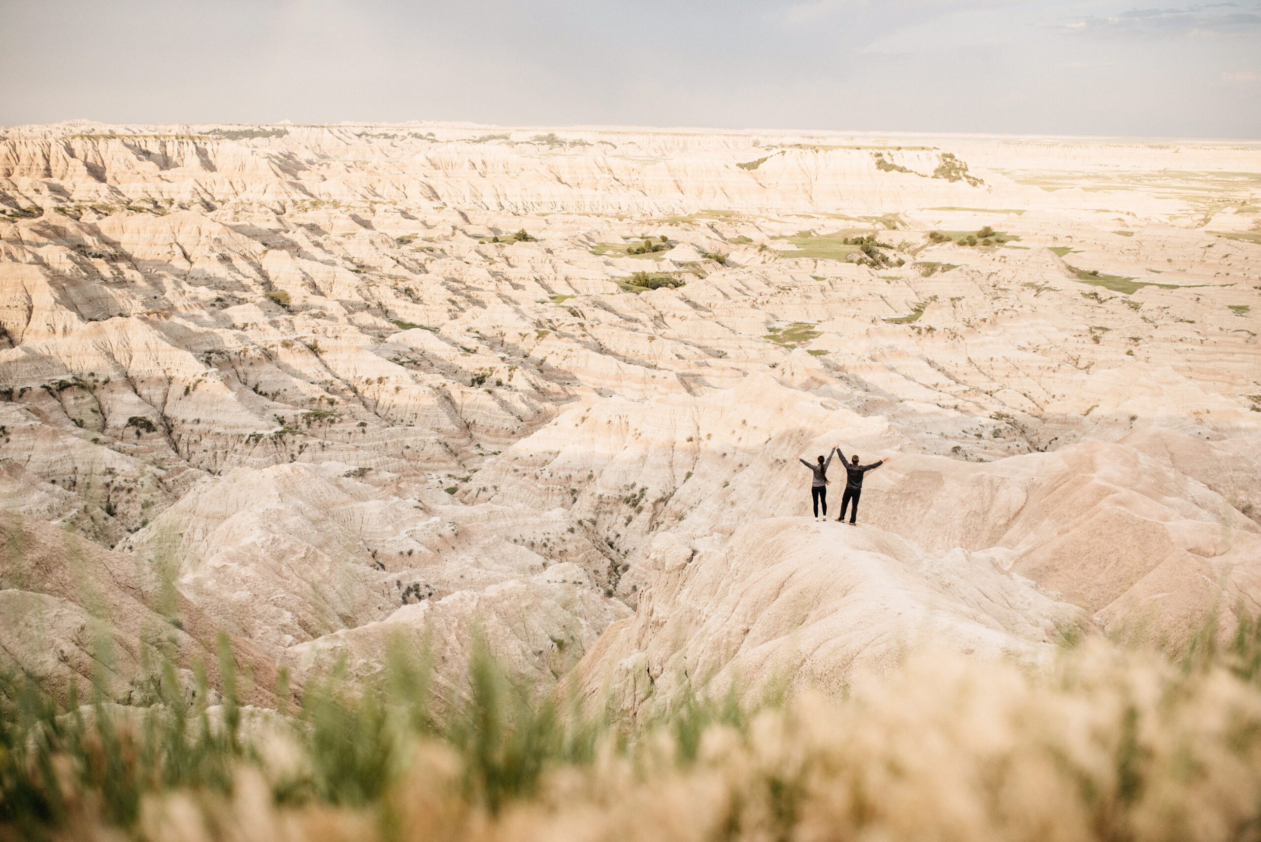
People became tiny scale markers in the photographs. Unlike the high mountain parks behind us, the Badlands did not hide their shape behind forest. The whole landscape remained exposed, and the horizon was made from one eroded line after another.
East towards Sioux Falls
From the Badlands we continued towards Sioux Falls. Minneapolis and Chicago were still ahead, but this was the last national-park landscape of the journey. After months of deserts, coasts, mountains and forests, the final one looked unlike any of the others.